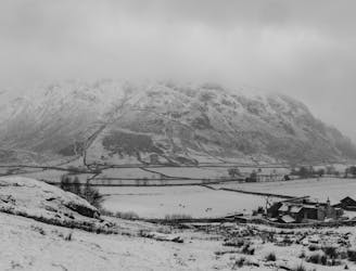
8.8 km away
Lingmoor Fell from Elterwater
The short route described here is ideal either as a half-day family adventure, or a quick blast between showers.
Easy Hiking
- Distance
- 5.8 km
- Ascent
- 342 m
- Descent
- 343 m
Hike one of the Lake District's most iconic mountains and pass a spectacular crag en route
Hiking Difficult

Despite its proximity to Coniston, the village's epnoymous mountain feels remote and wild, doubly so if you take this route to the summit.
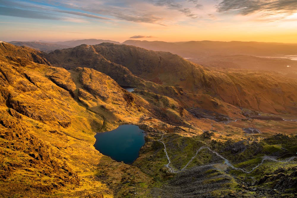
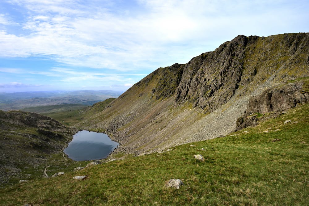
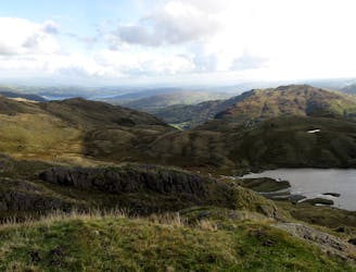
It is possible to just do a "there and back" via the descent route marked here, or on one of the other paths on the mountain's broad east face, but taking this route past Dow Crag and Goat's Water is much more spectacular. Even the parking area, cut into a broad and featureless little valley, feels far removed from the real world.
From the parking area follow the path which winds around the Old Man's blunt southern ridge and makes it way over some rocky outcrops to the shore of Goat's Water. In the height of summer the braver amongst you might consider a swim, but even in the middle of a heatwave the water is chillingly cold - you have been warned!
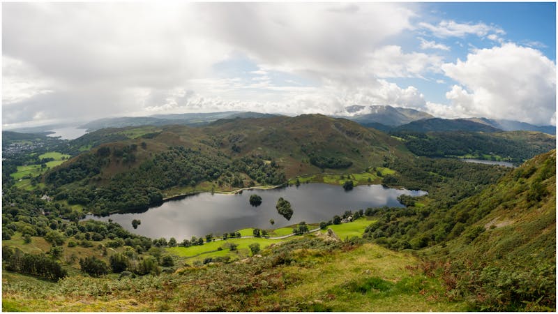
Goat's Water itself is beautiful, and Dow Crag - which looms high above it - is an impressive and somewhat intimidating sight too. In anything resembling good weather the crag is likely to have rock climbers scaling it, so try to pick them out to gain a sense of scale. Some of the routes on the crag are close to 200 metres long so the climbers will look pretty small if they're midway up one of the classic longer lines such as Giant's Crawl or Eliminate A.
Head due north from Goat's Water to a pass and then swing around to head up a broad and beautiful ridge which leads to the summit of Coniston Old Man. Take in the spectacular vista and then descend the - at times - steep track which leads down past Low Water to the parking area.
Difficult
Hiking trails where obstacles such as rocks or roots are prevalent. Some obstacles can require care to step over or around. At times, the trail can be worn and eroded. The grade of the trail is generally quite steep, and can often lead to strenuous hiking.

The trail contains some obstacles such as outcroppings and rock which could cause injury.

Little chance of being seen or helped in case of an accident.
8.8 km away
The short route described here is ideal either as a half-day family adventure, or a quick blast between showers.
Easy Hiking
9.1 km away
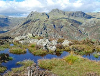
Taking in the major fells that ring the head of Eskdale, this round includes many of the highest, most interesting and most popular peaks in England, allowing the walker to fully enjoy this wonderful corner of the Lake District.
Severe Hiking
9.1 km away
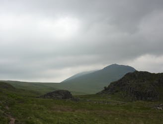
This Cumbrian crowd-pleaser is an oldie, but a goodie.
Severe Hiking
9.5 km away
This classic route has it all and is justly popular but don’t let the crowds put you off; wait until later in the day and there’s a good chance you’ll have it to yourself!
Extreme Hiking
5 routes · Hiking

7 routes · Hiking