In Elterwater village cross the road bridge over Great Langdale Beck, then immediately turn right onto a minor road. Follow the river upstream, and where the road enters a quarry turn right onto a footpath that continues through the woods along the riverbank, circling the base of quarry spoil heaps (it's an indirect route but nicer than going straight through the quarry). Pass (don't cross) the footbridge to Chapel Stile then follow the path as it turns away from the river to climb through old quarry workings to rejoin the road by some houses.
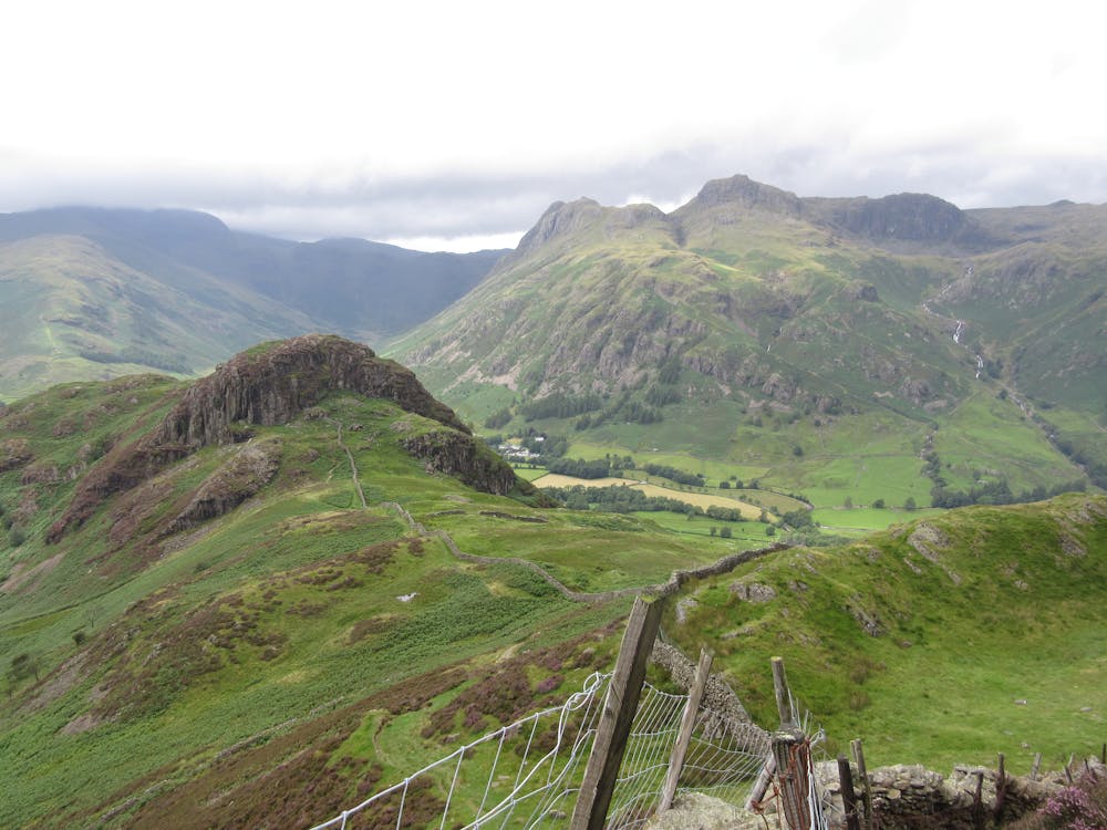
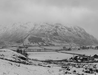
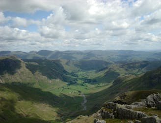
Turn right to walk through the active quarry (watch out for heavy machinery), then follow the track uphill into Sawrey's Wood. At a junction go right to pass a cottage, then immediately fork left uphill. Turn right at the next fork and follow the old quarry track on a long rising traverse through the woods. The track emerges from the trees at the spoil heaps of the disused Banks Quarry - great view down over Langdale - then continues in the same line across open slopes up onto the skyline of Lingmoor Fell. Once on top bear right alongside a drystone wall to meet a more heavily-trodden hill path.
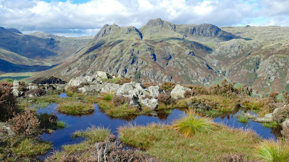
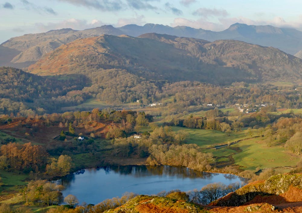
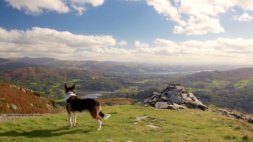
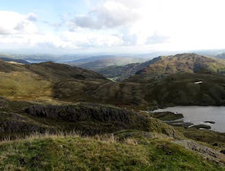
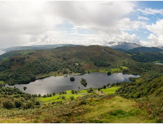
This climbs briefly beside the wall, then skirts just left of the fell's rocky fore-summit. The main top is soon visible ahead, a short distance away across undulating ground. Briefly rejoin the wall down into a dip. A steep little climb and then some boggy ground now bring you to the cairn on top - a stunning viewpoint on the crinkly Langdale skyline.
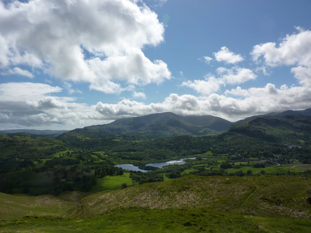
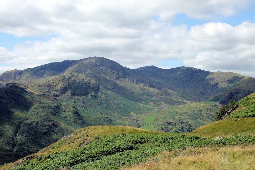
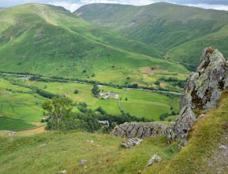
Retrace your steps back down the ridgeline. Then instead of returning directly to Elterwater through the quarries and woods, keep straight ahead to stay with the more popular path. This descends the skyline through pleasantly knobbly terrain, then turns hard right to make a steep zigzagging descent south into Little Langdale. The hill path meets a vehicle track just above the farms of the dale.
Turn left onto this - an easy finish along the base of the hillside and downhill through the woods back to the road at Elterwater.
© Dan Bailey - UKHillwalking.com, Feb 2015