1.3 km away
Seat Sandal and St Sunday Crag
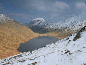
An excellent walk taking in an unusual combination of hills, and full of interest all the way.
Moderate Hiking
- Distance
- 5.4 km
- Ascent
- 810 m
- Descent
- 194 m
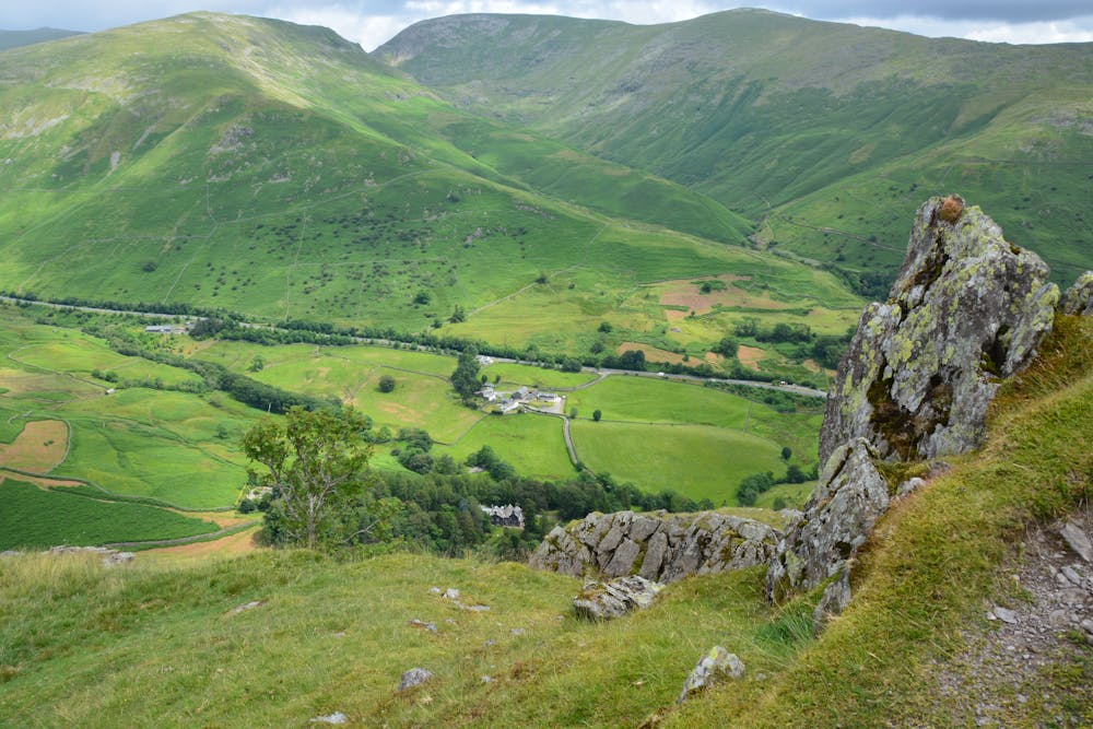
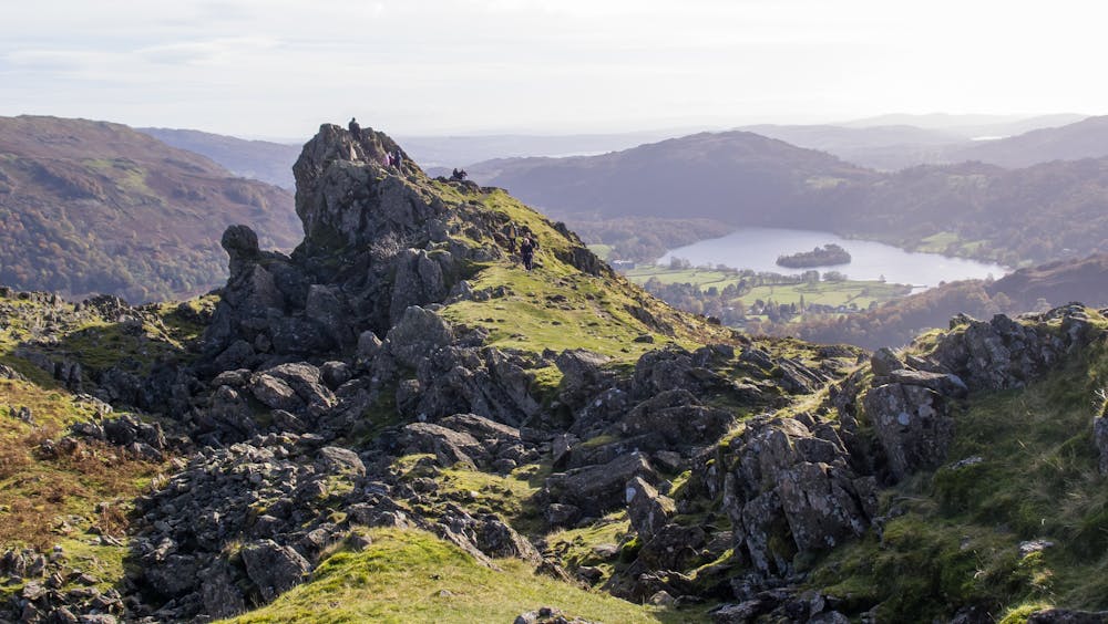
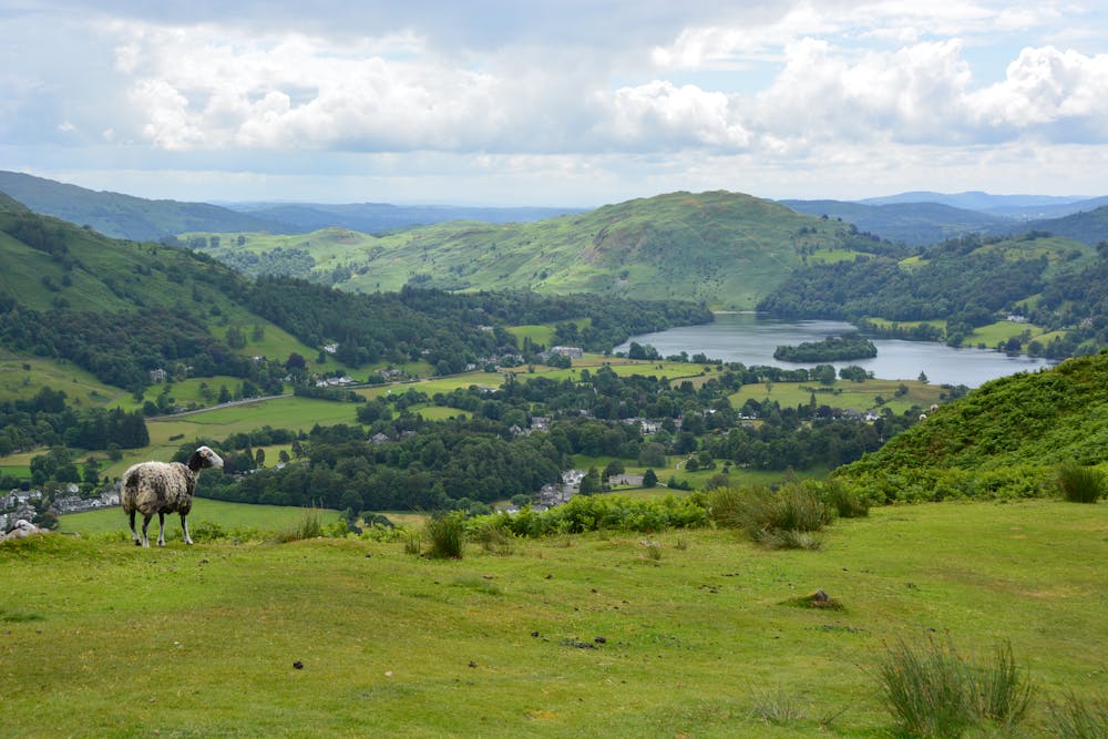
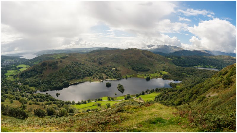
A short family-friendly walk from Grasmere's Town Head, taking in a beautiful valley and an easy ridge to a classic Lakeland micro-summit, which feels much higher than its on-paper altitude suggests.
Hiking Moderate

Parking is available by the farm at Town Head for a couple of pounds. Start by following the road southwest out of Town Head towards Helmside for 200m.
Take the track going northwest and follow this up the hill past more buildings.
Take the obvious Landrover track going northwest, following the wall parallel to the river.
Continue on this track past the foot bridge, staying on the same side of the river.
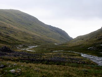
Cross stepping stones and follow a sometimes ill defined path towards the top of the ridge. Be wary of periods of sustained rain or snow melt which could cause the river to swell. In this case the river crossing here may not be passable so the river will have to be crossed either at the footbridge lower down the valley, or by continuing up the valley and skirting around the edge of the bowl to avoid the main river, crossing its subsidiaries.
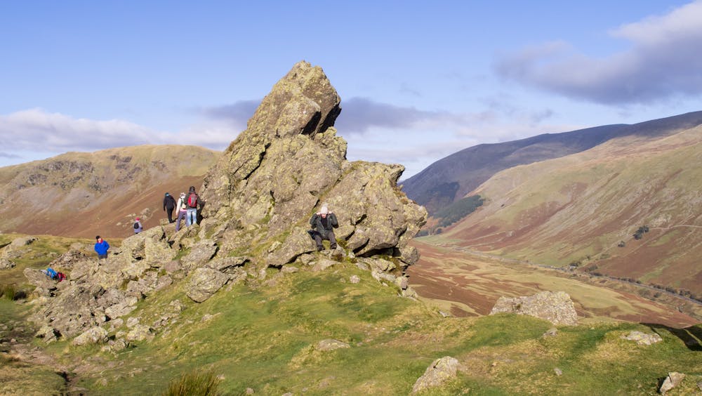
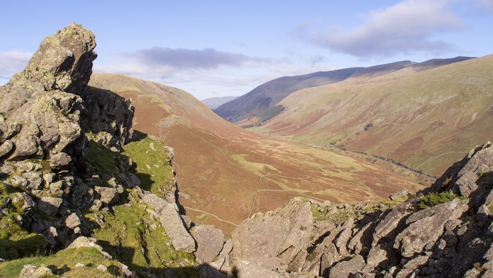
Follow the ridge east-southeast for approximately 2km, through a series of peaks and cols, before reaching the final summit of Helm Crag (distinguished by obvious rocky peak).
Enjoy the summit! The true high point can be achieved by a short but exposed grade one scramble to the top of the obvious pinnacle, known as The Howitzer (the only way off this is to downclimb the way you came). Now follow the path descending south-southeast into the valley, for 1km.
At the junction with the wall proceed through the gate, then take the small gate immediately on the left. This is a permissive path through the gardens of the Lancrigg hotel. Follow out of the hotel drive east, and onto a track past the youth hostel.
At the junction with the road follow it north back towards Town Head.
© laurencefalconer - UKHillwalking.com, Aug 2014
Moderate
Hiking along trails with some uneven terrain and small hills. Small rocks and roots may be present.
1.3 km away
An excellent walk taking in an unusual combination of hills, and full of interest all the way.
Moderate Hiking
1.9 km away
The second half of this route takes in much of the roughest ground in the Lake District and you need the fell craft of a goat to keep up a good pace.
Extreme Hiking
4.8 km away
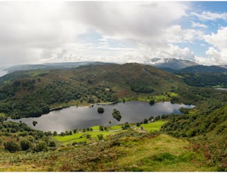
Circumnavigate a beautiful little lake and visit one of the Lake District's most famous manmade landmarks.
Moderate Hiking
5.1 km away
The short route described here is ideal either as a half-day family adventure, or a quick blast between showers.
Easy Hiking
5.1 km away
This classic route has it all and is justly popular but don’t let the crowds put you off; wait until later in the day and there’s a good chance you’ll have it to yourself!
Extreme Hiking
6 km away
This Cumbrian crowd-pleaser is an oldie, but a goodie.
Severe Hiking
6.3 km away
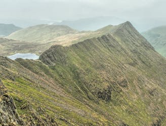
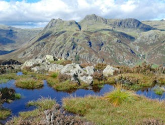
Overwhelming popularity cannot diminish the spectacular class of England’s finest ridge walking horseshoe, a circuit of the chiseled crests cupping the Red Tarn cove.
Severe Hiking
6.7 km away
This celebrated round packs a lot into its ten and a half miles, giving easy striding and ever-improving vistas culminating on one of the best-loved peaks in Lakeland.
Difficult Hiking
8.1 km away
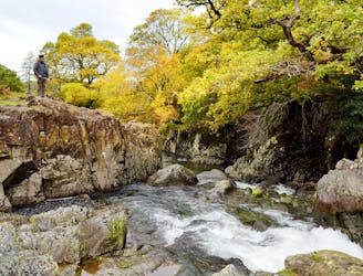
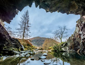
A beautiful walk to an exceptional wild swimming spot
Moderate Hiking
9.9 km away
This stern, stony mountain sprawls over a large area, its many impressive corners offering some of the grandest mountain scenery in the Lake District.
Difficult Hiking

9 routes · Hiking

5 routes · Hiking
5 routes · Hiking

7 routes · Hiking