559 m away
Seat Sandal and St Sunday Crag
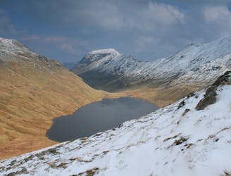
An excellent walk taking in an unusual combination of hills, and full of interest all the way.
Moderate Hiking
- Distance
- 5.4 km
- Ascent
- 810 m
- Descent
- 194 m
The second half of this route takes in much of the roughest ground in the Lake District and you need the fell craft of a goat to keep up a good pace.
Hiking Extreme

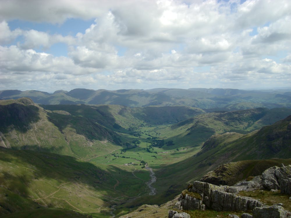
Often considered the main part of the Bob Graham Round, it's the longest section of the round and many would consider it as two good days' walking out on the fells. It is easily split at either Langdale Combe or Bowfell. If split at Bowfell then starting from Cockley Beck you can traverse the main tops round to Scafell and only need miss the descent in to Wasdale.
A severe start! From the stile next to the road the way is direct up the shallow gully leading to the skyline. Turn left and follow easy ground to the summit at the corner of the fence.
The going is now much easier if a little boggy at times on the way round the head of Greenburn Bottom before a slight rise to Calf Crag. A good path leads to the pass at the head of Far Easedale. There are now two alternatives but the clearer on the ground follows Ferngill Beck past Coledale Head to the rocky summit of Sergeant Crag. More easy ground leads to High Raise, the top at the centre of the Lake District.
A fast path leads to Thunacar Knott. The next section to Harrison Stickle can be confusing in mist but is generally south in direction. From Harrison Stickle keep on grassy ground to the north of the main path until boggy ground forces you to join it just short of Pike o'Stickle. Scramble up to the summit.
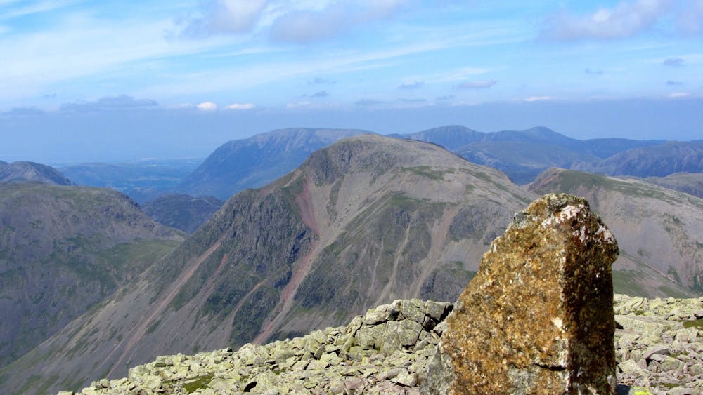
Scramble back down from the pike and take the path leading towards Martcrag Moor but rather than follow the walker's path cut straight across the moor. Drop down to where the Stakes Pass path crosses the beck in Langdale Combe. Go straight up the other side to gain a ramp line leading towards Rossett Pike. This exits on to the ridge at the skyline notch that is prominent from the valley floor. Follow the edge above Langdale to reach the summit cairn of Rossett Pike.
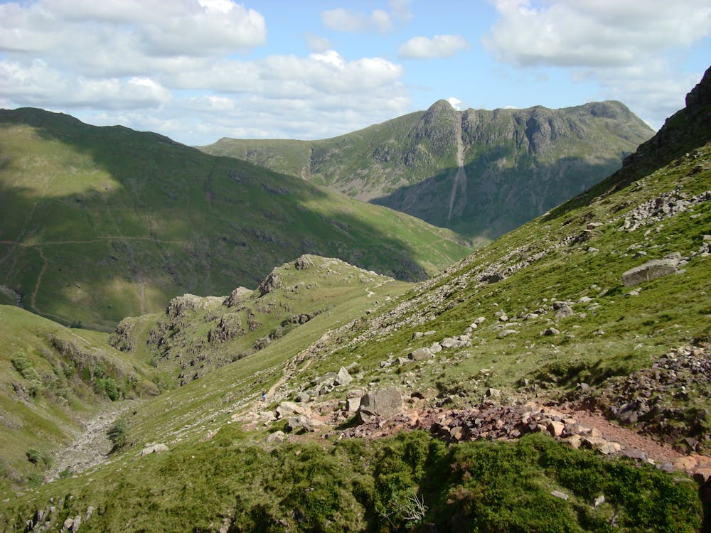
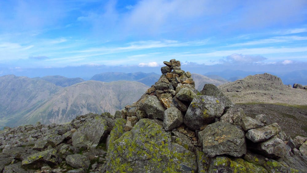
Drop down to the head of Rossett Gill and continue in a direct line towards Bowfell. The aim is to pick up a line of ramps that lead up under Hanging Knotts to the Bowfell plateau. Once on the plateau head south to the summit then turn back on yourself and head back towards Ore Gap. The best line is about 100m left of the main path. Follow the path over Esk Pike to Esk Hause. About 200m past this point take a direct line to the summit plateau of Great End.
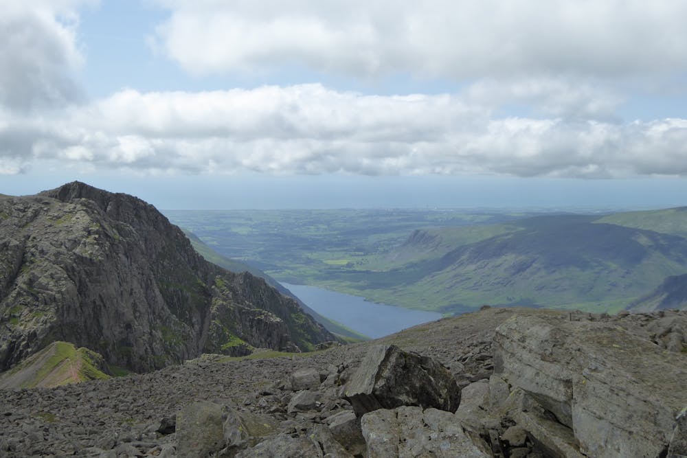
Rejoin the main path leading from Esk Hause to Scafell Pike but you soon leave this to head leftwards to Ill Crag. From here the going only get rougher! Head back to the main track then after another 200m or so leave the path again to gain the summit of Broad Crag which is quite possibly the roughest summit in the district.
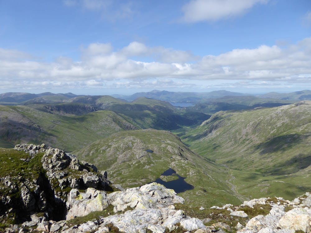
Struggle back over the boulders and follow the path down to the col at the head of Little Narrowcove. The path leads steeply at first up to the summit of Scafell Pike.
Take the path that leads down to Mickledore. Once at the col you have three options: Broad Stand , Lord's Rake and the West Wall Traverse, or Foxes Tarn via the climber's traverse. The latter is the most runnable, if anything can be considered runnable in this terrain. All lead to a broad col below the summit of Scafell. Go up to the summit then head directly for the head of Wastwater. When you reach Rakehead Crag keep left until you come to a grassy gully and descend by the side of this to gain the Old Corpse Road. Now follow this to the car park.
© Bob - UKHillwalking.com, Oct 2011
Extreme
Scrambling up mountains and along technical trails with moderate fall exposure. Handholds are necessary to navigate the trail in its entirety, although they are not necessary at all times. Some obstacles can be very large and difficult to navigate, and the grades can often be near-vertical. The challenge of the trail and the steepness of the grade results in very strenuous hiking. Hikes of this difficulty blur the lines between "hiking" and "climbing".
559 m away
An excellent walk taking in an unusual combination of hills, and full of interest all the way.
Moderate Hiking
1.9 km away
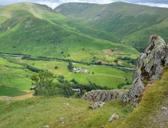
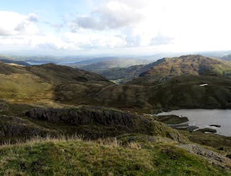
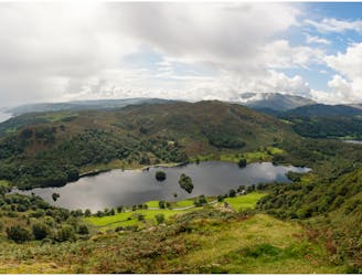
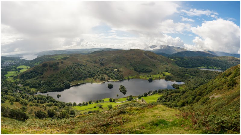
A short family-friendly walk from Grasmere's Town Head, taking in a beautiful valley and an easy ridge to a classic Lakeland micro-summit, which feels much higher than its on-paper altitude suggests.
Moderate Hiking
5.1 km away
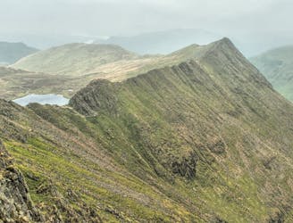
Overwhelming popularity cannot diminish the spectacular class of England’s finest ridge walking horseshoe, a circuit of the chiseled crests cupping the Red Tarn cove.
Severe Hiking
6.1 km away
This classic route has it all and is justly popular but don’t let the crowds put you off; wait until later in the day and there’s a good chance you’ll have it to yourself!
Extreme Hiking
6.5 km away
Circumnavigate a beautiful little lake and visit one of the Lake District's most famous manmade landmarks.
Moderate Hiking
6.8 km away
The short route described here is ideal either as a half-day family adventure, or a quick blast between showers.
Easy Hiking
6.8 km away
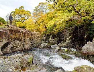
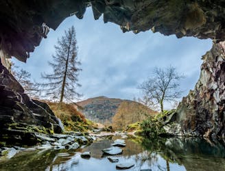
A beautiful walk to an exceptional wild swimming spot
Moderate Hiking
6.9 km away
This Cumbrian crowd-pleaser is an oldie, but a goodie.
Severe Hiking
8.5 km away
This celebrated round packs a lot into its ten and a half miles, giving easy striding and ever-improving vistas culminating on one of the best-loved peaks in Lakeland.
Difficult Hiking
9.3 km away
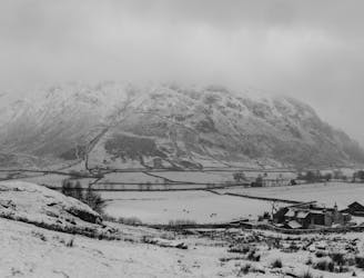
This stern, stony mountain sprawls over a large area, its many impressive corners offering some of the grandest mountain scenery in the Lake District.
Difficult Hiking

9 routes · Hiking

5 routes · Hiking
5 routes · Hiking

7 routes · Hiking