The HowgillsClassic
Yorkshire Dales National Park
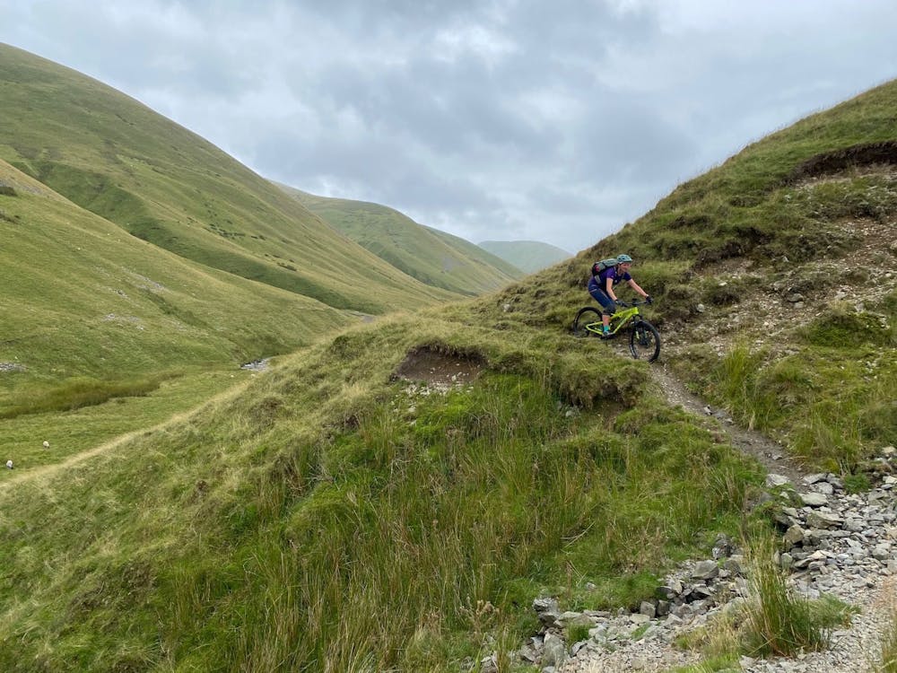
Best of the Howgill Hills
Mountain Biking Moderate
- Distance
- 42 km
- Ascent
- 1.2 km
- Descent
- 1.2 km
- Duration
- 3-4 hrs
- Low Point
- 120 m
- High Point
- 673 m
- Gradient
- 14˚

This is a popular mountain biking route which is generally considered to be moderate. It's remote, it features medium exposure and is typically done all year round. From a low point of 120 m to the maximum altitude of 673 m, the route covers 42 km, 1186 vertical metres of ascent and 1186 vertical metres of descent.
Description
A classic tour of the best bit of the Howgills
Difficulty
Moderate
Mostly stable trail tread with some variability, with unavoidable obstacles 8in/20cm tall or less. Other obstacles such as rock gullies and steep sections may exist. Ideal for lower intermediate riders.
Medium Exposure

The trail contains some obstacles such as outcroppings and rock which could cause injury.
Remoteness
Away from help but easily accessed.
Best time to visit
Features
- Flow
- Technical
- Picturesque
- Singletrack
- Road sections
- Drops
- Rock Gardens