Pen-y-Ghent and Plover Hill
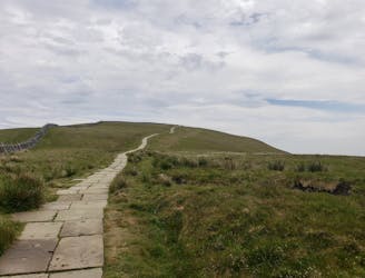
A great way to extend the trip over Pen-y-Ghent and see some rarely-traveled terrain
Severe Hiking
- Distance
- 18 km
- Ascent
- 574 m
- Descent
- 575 m

Explore Yorkshire Dales National Park with curated guides of the best hiking trails, and more. With over 20 3D trail maps in FATMAP, you can easily discover and navigate the best trails in Yorkshire Dales National Park.
No matter what your next adventure has in store, you can find a guide on FATMAP to help you plan your next epic trip.
Get a top trail recommendation in Yorkshire Dales National Park from one of our 2 guidebooks, or get inspired by the 20 local adventures uploaded by the FATMAP community. Start exploring now!


A great way to extend the trip over Pen-y-Ghent and see some rarely-traveled terrain
Severe Hiking
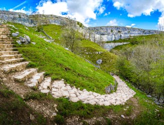
A wonderful loop linking 3 of Yorkshire's finest natural wonders
Difficult Hiking
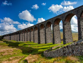
Hike to the highest peak in the Yorkshire Dales and pass a legendary landmark on the way!
Difficult Hiking
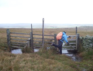
A long trip through some featureless - and often boggy - moorland
Moderate Hiking
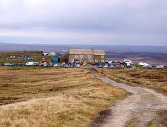
A combination of waterfalls, moors, summits and one of the best pubs in England make this one of the best days on the whole trip.
Difficult Hiking
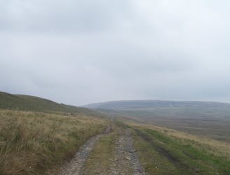
A less challenging day than yesterday, but a lovely stroll nonetheless.
Moderate Hiking
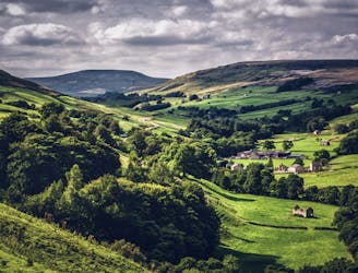
One of the iconic walks in the UK, the Coast to Coast - also known as Wainwright's Coast to Coast - is a long distance hike from St Bees Head in Cumbria to Robin Hood's Bay in Yorkshire.
Difficult Hiking
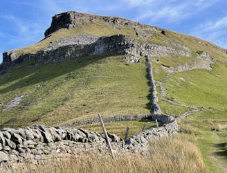
One of the highlights of the Pennine Way - this is a fabulous journey
Difficult Hiking
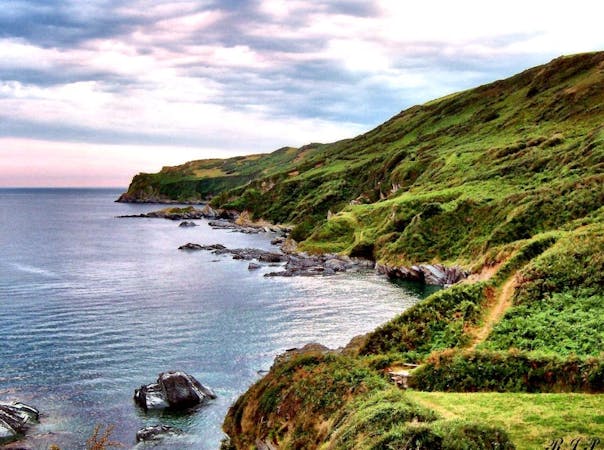
9 routes · Hiking
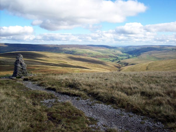
15 routes · Hiking