254 m away
Pen-y-Ghent
Majestic circular that takes you away from the crowds - and gives you a different view...
Difficult Hiking
- Distance
- 17 km
- Ascent
- 566 m
- Descent
- 565 m
A great way to extend the trip over Pen-y-Ghent and see some rarely-traveled terrain
Hiking Severe

Doable from either Helwith Bridge or Horton in Ribblesdale, this is a wonderful loop over a famous summit. This route is about half the length of the famous Yorkshire 3 Peaks route, so it's a nice option for those who want to sample the area without committing to the full 3 Peaks.
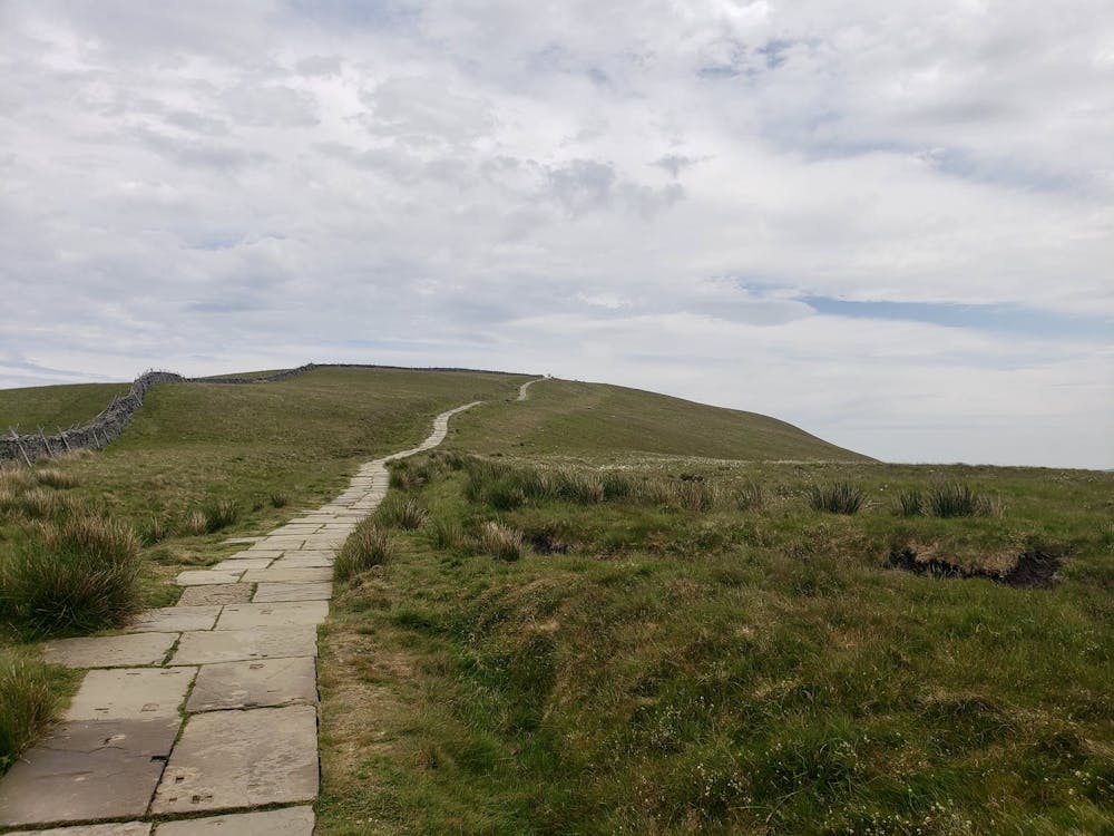
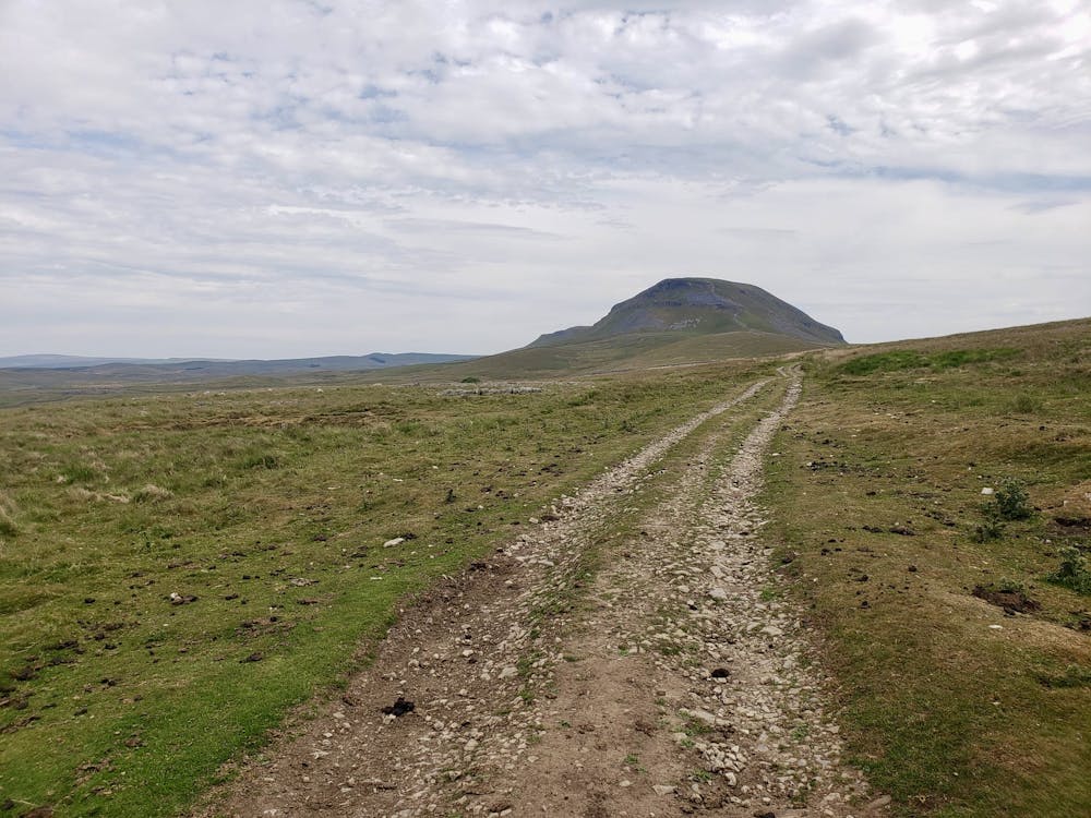
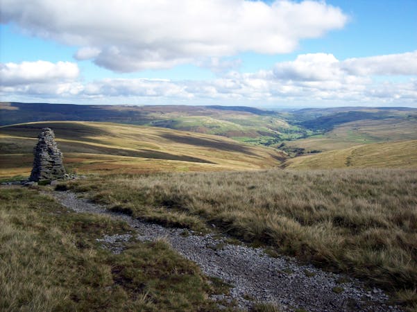
We've drawn the route from Helwith Bridge, which is home to an excellent little pub (the Helwith Bridge Inn). Start by climbing up the wide track known as Long Lane and follow it as it heads directly for the impressive upper part of Pen-y-Ghent. There's a section of easy scrambling on the upper slopes of the peak, followed by a beautiful stone path which leads to the top.
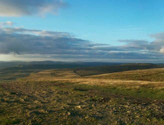
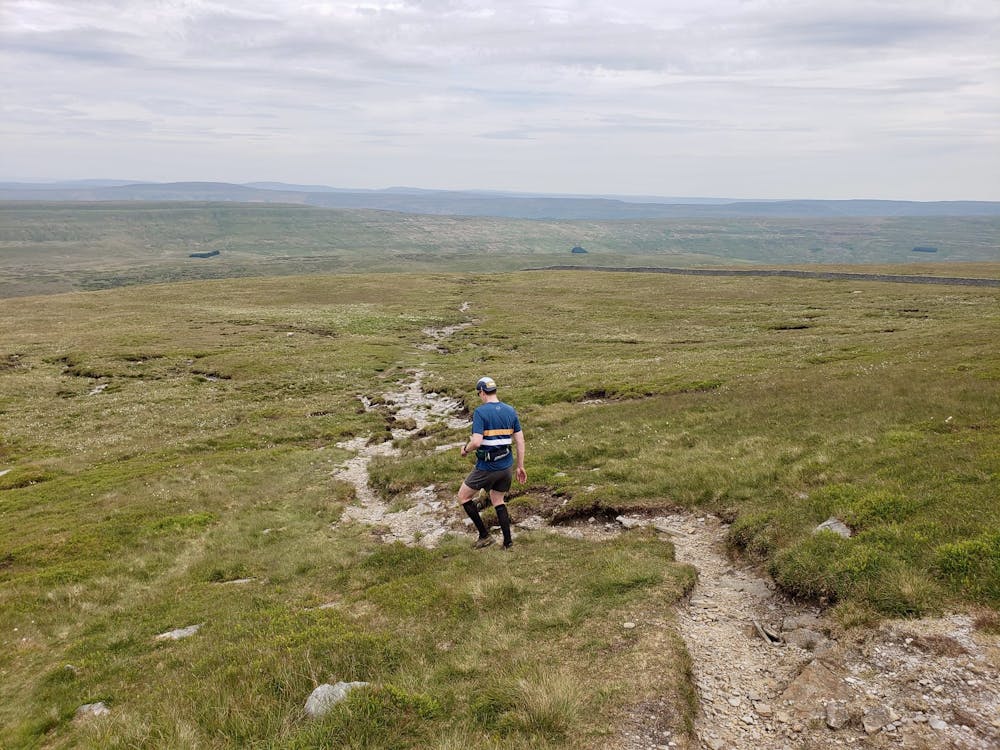
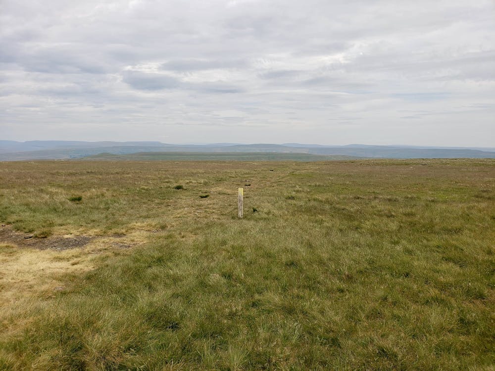
The cairn which marks the summit enjoys some spectacular views, and there's also a small walled shelter which will come in handy on windy days - of which there are many! From the top of Pen-y-Ghent, follow a vague path across the barren hillside which leads to the indistinct summit of Plover Hill.
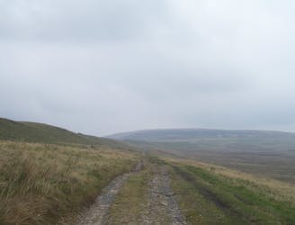
From here descend north down a steep trail down to meet Foxup Road, a beautiful path which leads you down to Horton Scar Lane - a major track which will likely be much busier than the trail that took you to it. Follow the lane as it winds down into Horton in Ribblesdale and then stroll back through peaceful fields alongside the River Ribble back to Helwith Bridge.
Grab a drink at the Helwith Bridge Inn and enjoy toasting your day from the riverside terrace.
Severe
Hiking challenging trails where simple scrambling, with the occasional use of the hands, is a distinct possibility. The trails are often filled with all manner of obstacles both small and large, and the hills are very steep. Obstacles and challenges are often unexpected and can be unpredictable.

Some trail sections have exposed ledges or steep ascents/descents where falling could cause serious injury.
Little chance of being seen or helped in case of an accident.
254 m away
Majestic circular that takes you away from the crowds - and gives you a different view...
Difficult Hiking
2.6 km away
A less challenging day than yesterday, but a lovely stroll nonetheless.
Moderate Hiking
3.2 km away
Take in three iconic Yorkshire Dales summits in one epic walk that will test your stamina in stunning surroundings!
Severe Hiking
3.2 km away
Cracking circular route that takes in the iconic mountain, Gaping Gill, Trow Gill, and epic limestone landscapes.
Difficult Hiking

9 routes · Hiking
15 routes · Hiking