254 m away
Pen-y-Ghent and Plover Hill
A great way to extend the trip over Pen-y-Ghent and see some rarely-traveled terrain
Severe Hiking
- Distance
- 18 km
- Ascent
- 574 m
- Descent
- 575 m
Majestic circular that takes you away from the crowds - and gives you a different view...
Hiking Difficult

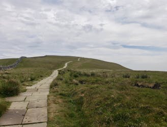
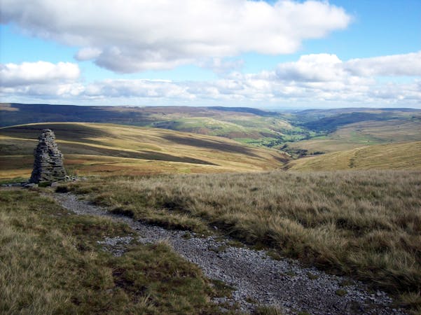
Pen-y-Ghent, or 'the hill of the winds' is one of the most iconic and therefore well visited peaks in the Yorkshire Dales National Park. It's easy to see why too - accessible and sweeping it holds fantastic views from the summit and presents a great challenge to those wanting to tackle a small scramble up to the top.
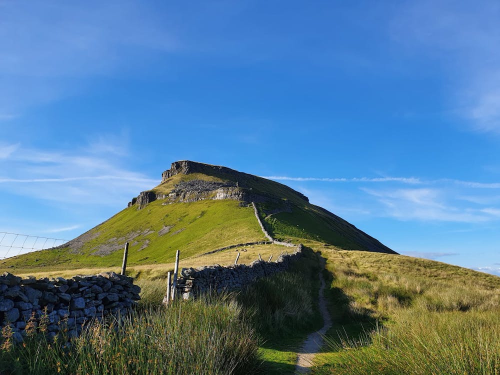
But, this is a mountain which can be crowd free if you step off the beaten track and approach it from a different angle. And, if you do, you'll get miles in your legs, and see its 694 metre profile from two unique sides.
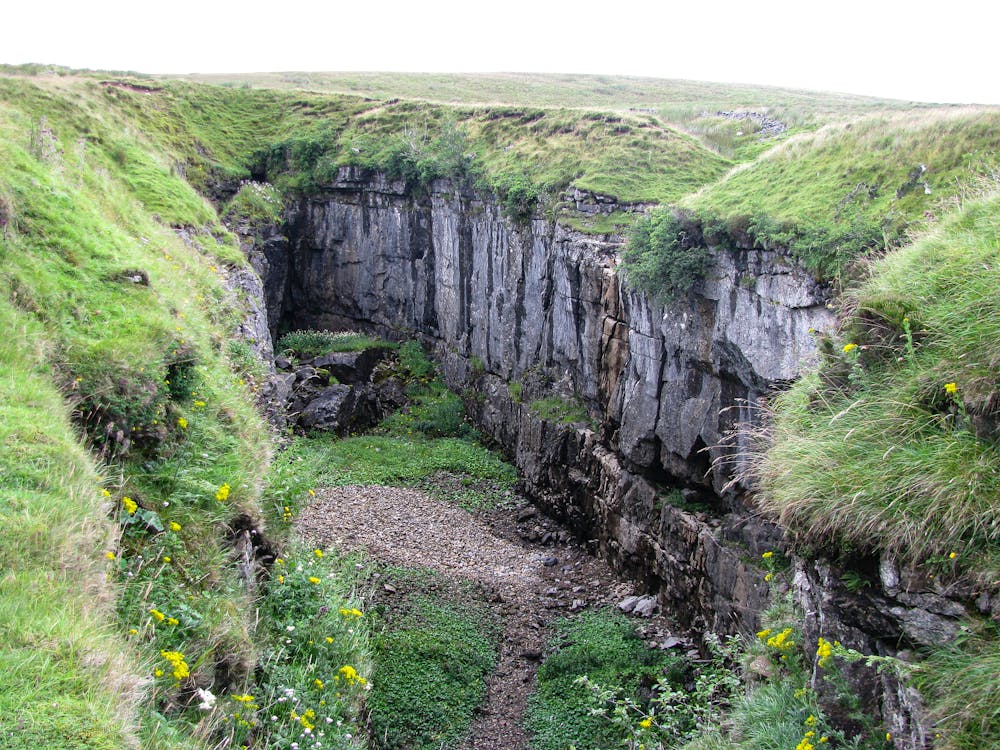
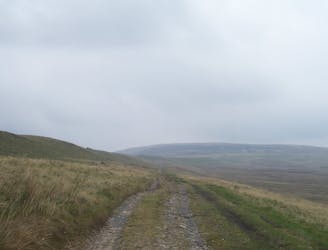
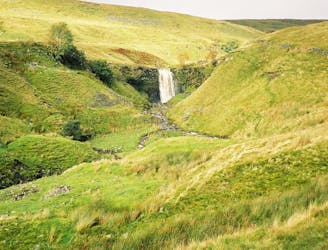
This walk starts in sleepy Helwith (visit the pub, that's an order) and then follows the River Ribble through to Horton In Ribblesdale. Here, don't follow the crowds, head past the Crown Inn and take the Pennine Way up past Sell Gill Holes (you'll hear the dynamic rushing of water well before you see them). Striking right you begin to see Pen-y-Ghent in the distance as you climb Whitber but as you drop down, on the left, is Hull Pot - a chasm that's 91 metres long. In stormy times this huge pot can fill to the brim and cascade down the fell.
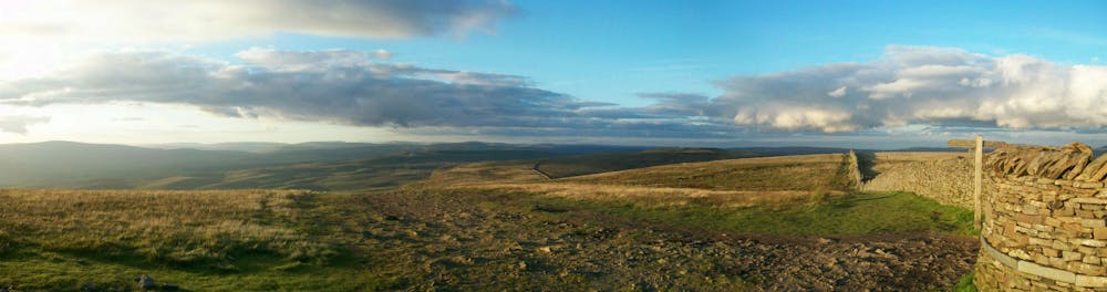
Serious walking from the hole continues, up the hill and eventually onto its ridge - a route that is an alternative to the classic climb. Here, Fountains Fell is on your left - probably the most remote fell in the Dales.
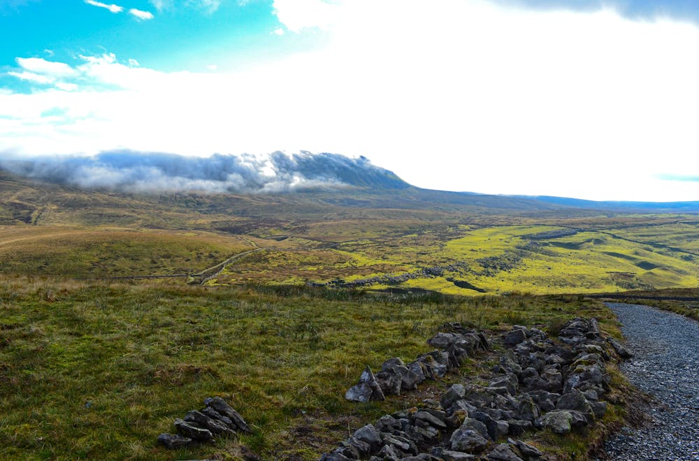
A short scramble will test your nerve (fun in winter) before the long walk down to Helwith. Take a pause around half way to look back at the mountain. Wow.
This is an absolute classic...
Difficult
Hiking trails where obstacles such as rocks or roots are prevalent. Some obstacles can require care to step over or around. At times, the trail can be worn and eroded. The grade of the trail is generally quite steep, and can often lead to strenuous hiking.

Some trail sections have exposed ledges or steep ascents/descents where falling could cause serious injury.

Away from help but easily accessed.
254 m away
A great way to extend the trip over Pen-y-Ghent and see some rarely-traveled terrain
Severe Hiking
2.6 km away
A less challenging day than yesterday, but a lovely stroll nonetheless.
Moderate Hiking
3.2 km away
Take in three iconic Yorkshire Dales summits in one epic walk that will test your stamina in stunning surroundings!
Severe Hiking
3.2 km away
Cracking circular route that takes in the iconic mountain, Gaping Gill, Trow Gill, and epic limestone landscapes.
Difficult Hiking

9 routes · Hiking
15 routes · Hiking