6 m away
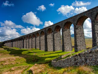
Yorkshire Three Peaks Challenge
Take in three iconic Yorkshire Dales summits in one epic walk that will test your stamina in stunning surroundings!
Severe Hiking
- Distance
- 40 km
- Ascent
- 1.5 km
- Descent
- 1.5 km
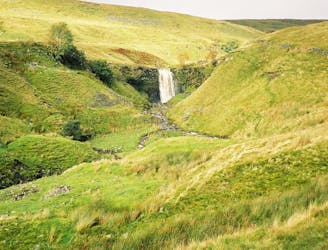
Cracking circular route that takes in the iconic mountain, Gaping Gill, Trow Gill, and epic limestone landscapes.
Hiking Difficult

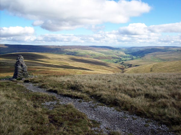
If you’re looking for an iconic introduction to the breathtaking and varied landscape of the Yorkshire Dales, then this walk is for you.
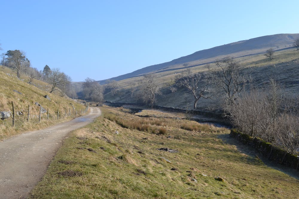
At around 24k (15 miles) in distance, it begins in the sleepy hamlet of Horton-in-Ribblesdale and its welcoming pubs before crossing the historic Settle-Carlisle railway and gradually climbing to the 2,372-foot summit of Ingleborough.
It’s a well-defined route that will suit hikers who are keen to test themselves over a longer distance whilst not being defined by a particular timeframe. This is a walk that can be done at your leisure, and one that takes in a variety of different scenery. There’s even the option of sneaking in a bivvy to turn it into a two dayer.
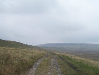
Limestone pasture and farmland is quickly surpassed by more rugged Dales landscape before Ingleborough appears in front. In places, you’re picking through limestone pavement but it’s quickly forgotten with the expanse of land around you. In winter this route is a must-see.
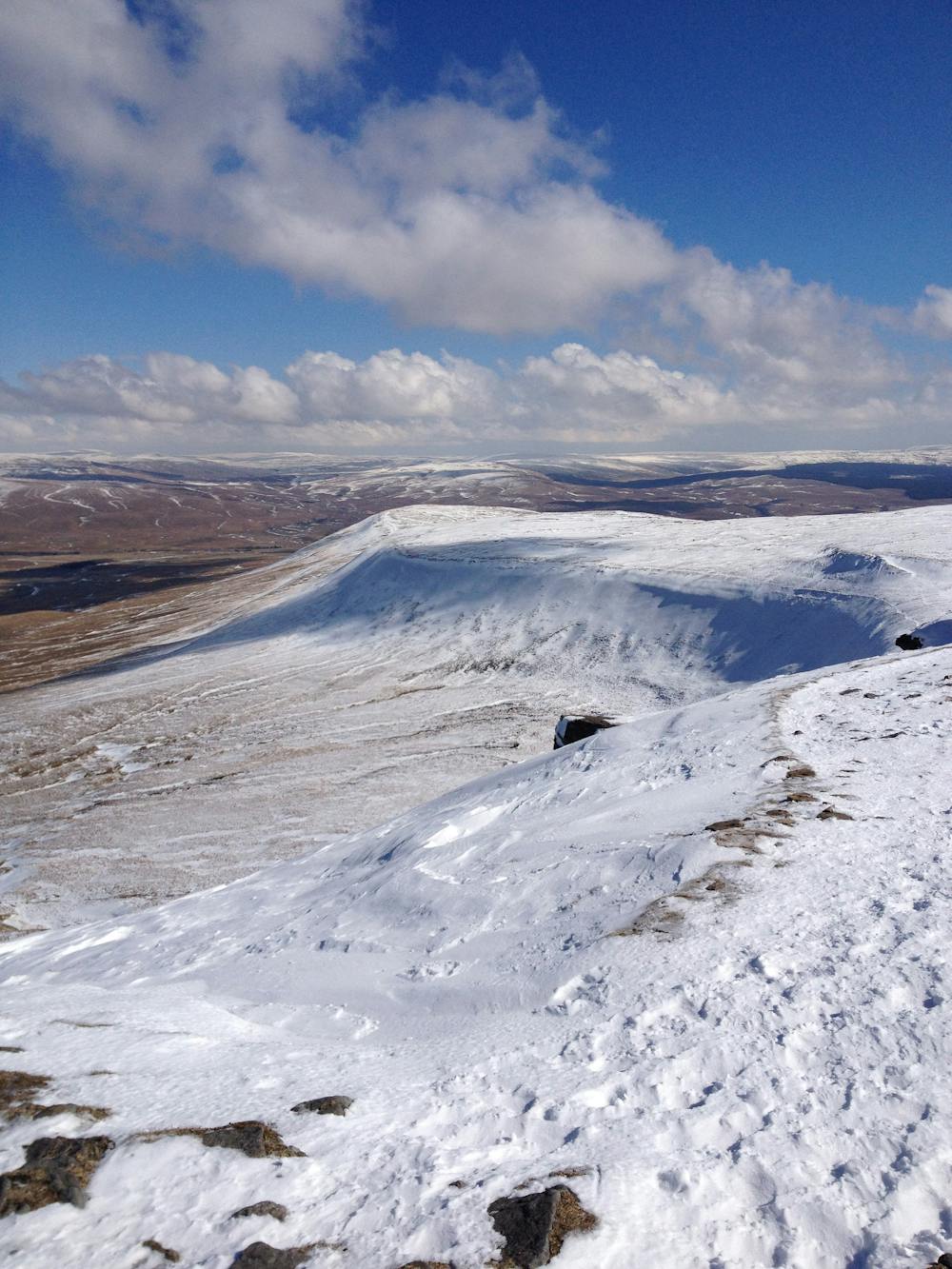
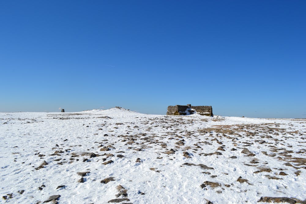
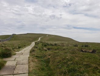
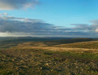
Once on the summit – a former Iron Age Hill Fort – 360-degree views encompass the entire Lake District.
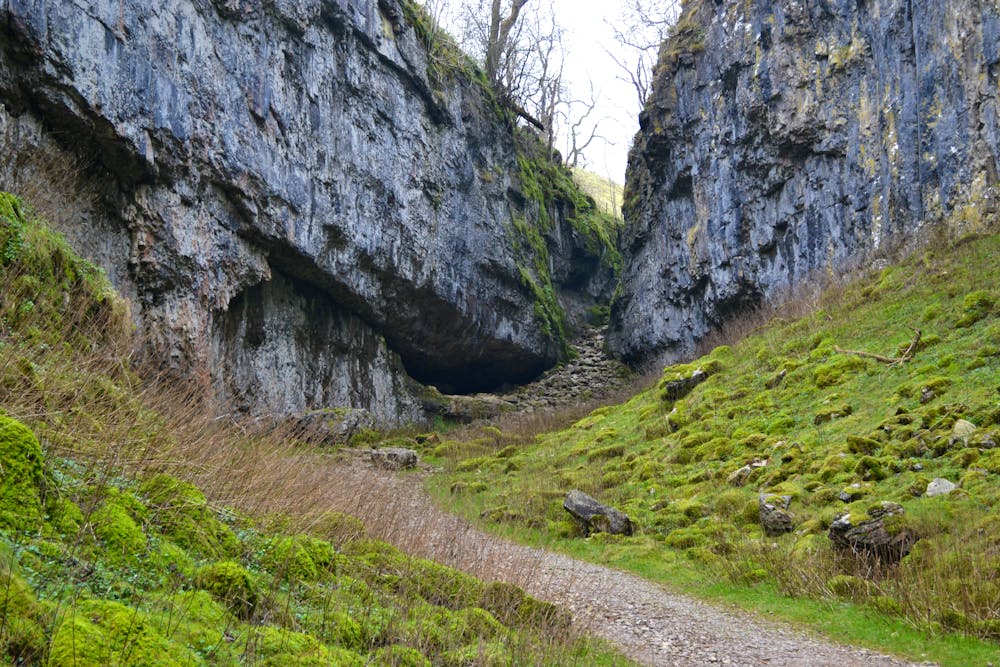
After the summit, you have the opportunity to drop down into Clapham, passing the staggering Gaping Gill cave—where Fell Beck falls 322 feet below the surface into a chamber that is as large as York Minister—then moving to the collapsed cavern of Trow Gill. Also, the Ingleborough ShowCave is more than worth a slight detour!
From there, the path levels out somewhat and becomes more of a stroll as you walk along Ingleborough’s nature trail and the plants of renowned botanist Reginald Farrer. Historic Clapham village follows—a story within itself of social housing created by the Farrer’s—before you take the green lane to follow another side of the mountain on your left. Here, the land is green, lush and inviting—and there’s even time to take a slight diversion to the Juniper Gulf before tracing your route back to Horton In Ribblesdale.
For hikers new to the Dales, this is a classic but fun introduction and one I return to again and again to clear the soul and get some miles under my feet. It’s best done in winter as the sharp cold is contrasted by clear skies—but there is the added winter skill needed.
In summer, it’s best to attack this route in the morning as towards the end of the day the route down is popular with 3 Peaks walkers—those attempting the famous challenge that takes in this mountain, Pen-y-Ghent, and Whernside.
One not to be missed!
Difficult
Hiking trails where obstacles such as rocks or roots are prevalent. Some obstacles can require care to step over or around. At times, the trail can be worn and eroded. The grade of the trail is generally quite steep, and can often lead to strenuous hiking.

The trail contains some obstacles such as outcroppings and rock which could cause injury.
Away from help but easily accessed.
6 m away
Take in three iconic Yorkshire Dales summits in one epic walk that will test your stamina in stunning surroundings!
Severe Hiking
562 m away
A less challenging day than yesterday, but a lovely stroll nonetheless.
Moderate Hiking
3.2 km away
A great way to extend the trip over Pen-y-Ghent and see some rarely-traveled terrain
Severe Hiking
3.2 km away
Majestic circular that takes you away from the crowds - and gives you a different view...
Difficult Hiking
7.8 km away
Hike to the highest peak in the Yorkshire Dales and pass a legendary landmark on the way!
Difficult Hiking

9 routes · Hiking
15 routes · Hiking