7.7 km away
Whernside - The Quiet Way
The Dales at its finest - old ways & new ways
Difficult Hiking
- Distance
- 25 km
- Ascent
- 953 m
- Descent
- 953 m
Hike to the highest peak in the Yorkshire Dales and pass a legendary landmark on the way!
Hiking Difficult

With a stunning and unique industrial landmark followed by a legendary mountain summit, this is a justly popular walk in one of the most scenic parts of northern England. The hike starts in a barren spot next to the Station Inn, a few kilometres north-east of Ingleton. There is a carpark but it's not huge so get there early to guarantee a spot!
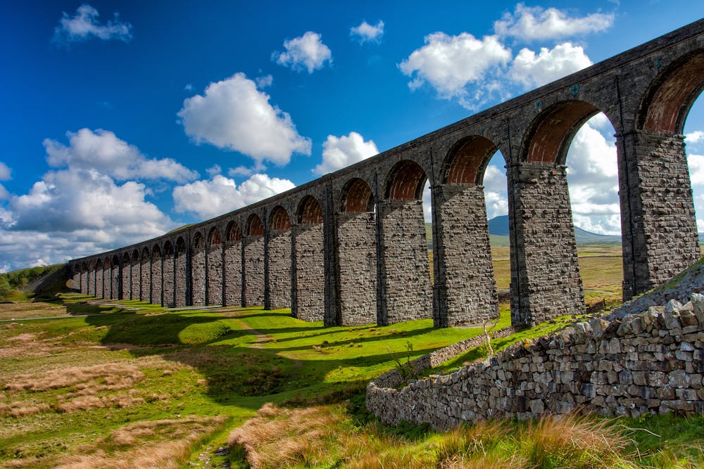
Start by hiking up to the extraordinary Ribblehead Viaduct, which is clearly visible from the carpark. The viaduct spans across the Batty Moss valley and is a part of the Settle-Carlisle railway line. The viaduct was built in the 1870s and is made up of 24 arches, each of which is over 100 feet high. It is considered to be one of the most iconic landmarks in the area and attracts tourists from all over the world due to its stunning beauty and engineering significance. Despite its remote location, the viaduct has become an important symbol of Britain's industrial heritage and is an important piece of the country's railway history - take some time to ponder what an amazing amount of effort must have gone into building it over 150 years ago, and what it did for the progress of northern England's economy.
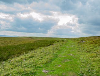
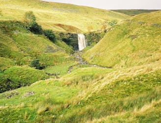
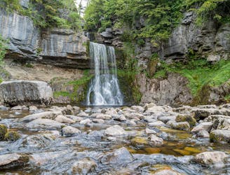
From the viaduct begin climbing gently through farmland, past Bleamoor sidings (a railway hut and a derelict railway house) and up onto the blunt south rib of Wherndale. It is possible to detour to the nearby Force Gill Waterfall on the way to Wherndale, or just get your head down and get the climb done - the choice is yours! We've drawn the line without the detour but it's not far if you want to go and check out the impressive falls.
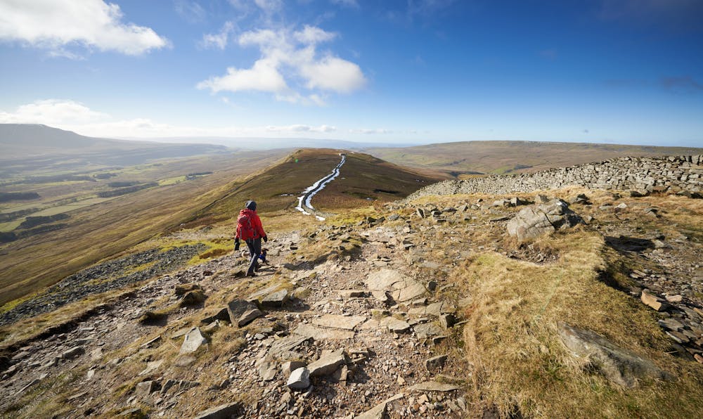
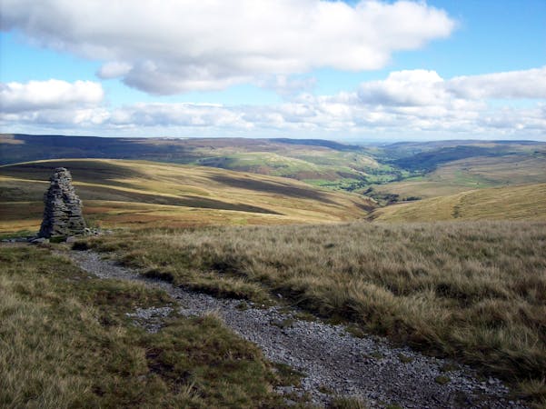
Once on the summit ridge of Wherndale it's an airy journey to the top, and what a top it is! The mountain has an unjustified reputation for being a slightly boring hill, but the view from the top is spectacular, and the bragging rights that come with climbing the highest peak in the Dales are not to be sniffed at!
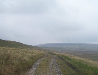
When you're done patting yourself on the back, make the long and scenic descent down past Greensett Moss back to the carpark. The views (particularly across to nearby Ingleborough) are excellent throughout the descent, and the prospect of a pint getting ever closer is thoroughly enjoyable as well!
Difficult
Hiking trails where obstacles such as rocks or roots are prevalent. Some obstacles can require care to step over or around. At times, the trail can be worn and eroded. The grade of the trail is generally quite steep, and can often lead to strenuous hiking.

The trail contains some obstacles such as outcroppings and rock which could cause injury.
Away from help but easily accessed.
7.7 km away
The Dales at its finest - old ways & new ways
Difficult Hiking
7.8 km away
Cracking circular route that takes in the iconic mountain, Gaping Gill, Trow Gill, and epic limestone landscapes.
Difficult Hiking
7.8 km away
Take in three iconic Yorkshire Dales summits in one epic walk that will test your stamina in stunning surroundings!
Severe Hiking
8.4 km away
A less challenging day than yesterday, but a lovely stroll nonetheless.
Moderate Hiking
9 km away
An alternative take on a classic Three Peak climb
Moderate Hiking
9.2 km away
One of Yorkshire's finest easy hikes past some of its most beautiful water features
Moderate Hiking

9 routes · Hiking
15 routes · Hiking