273 m away
Ingleborough
An alternative take on a classic Three Peak climb
Moderate Hiking
- Distance
- 12 km
- Ascent
- 613 m
- Descent
- 613 m
One of Yorkshire's finest easy hikes past some of its most beautiful water features
Hiking Moderate

With countless lovely water features, peaceful glens and a typically quaint Yorkshire village as a base, this is a justly popular stroll.
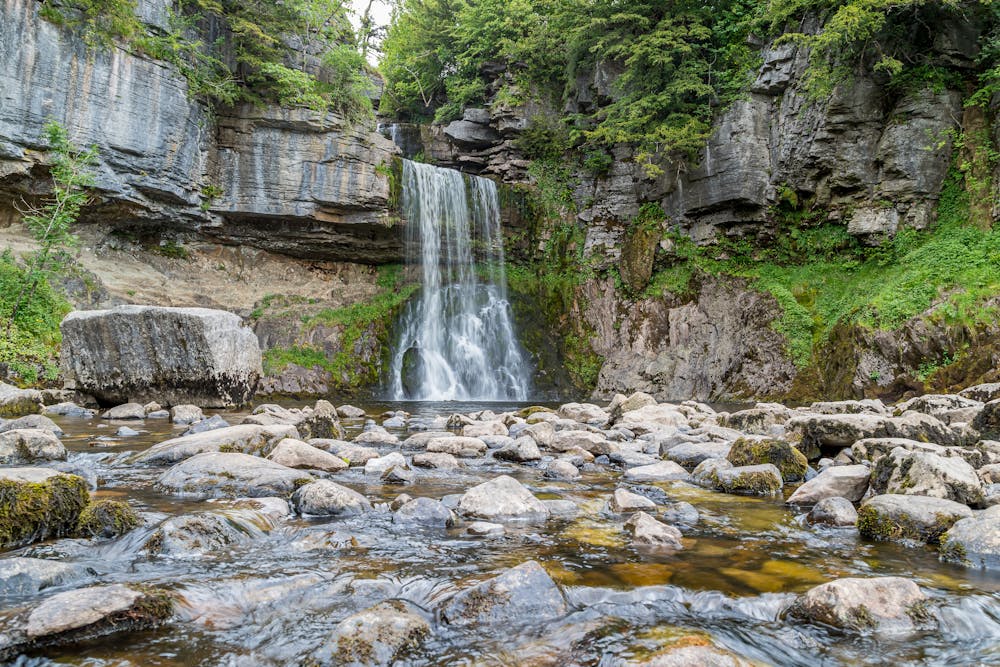
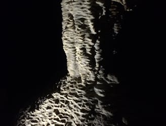
Park up in Ingleton and begin the day by hiking up Swilla Glen, following the River Triss. Plants and trees are the main focus here until you reach Pecca Falls, the first significant landmark on the trip. The falls are made up of 5 separate drops and the Triss drops a total of 30 metres as it flows over them. Hollybush Spout is the next small waterfall on the trip, and not long after you'll reach the most famous sight on the whole hike; the utterly spectacular Thornton Force. Thornton Force is 14 metres high and you'll be able to study the 330 million year-old (!) falls from the purpose-built viewing area.
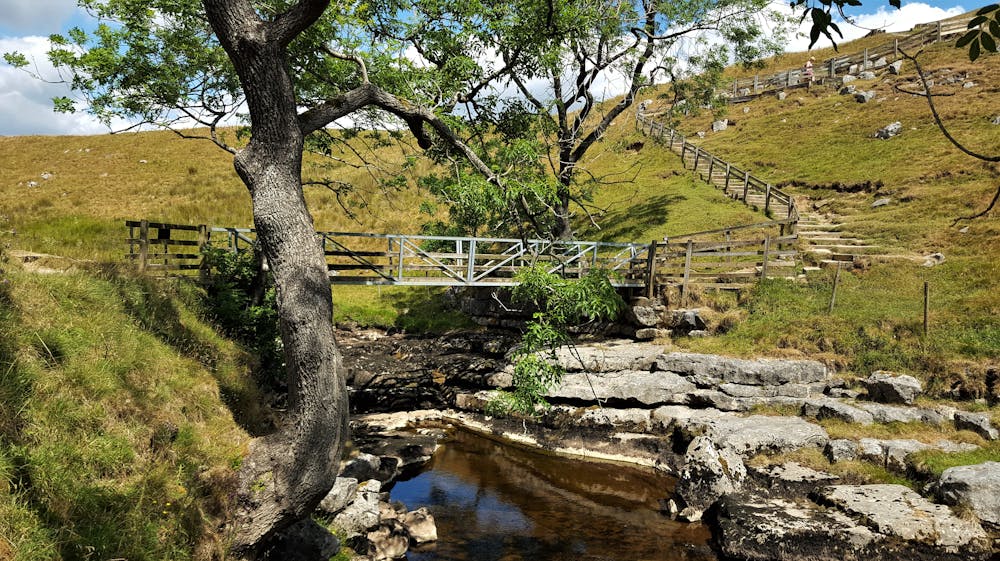
Having spent some time admiring the falls - and quite possibly contemplating the vastness of time and space - continue strolling up to Raven Ray Bridge and then Twistleton Lane, a Roman Road from where you'll get wonderful views of Ingleborough; Yorkshire's second highest peak. The views of Ingleborough keep on coming as you traverse beneath the cliffs of Twistleton Scar End to reach Beezley Falls. Just before reaching the falls are some toilets and a little cafe, so grab a bite to eat and then go to admire the Falls and Triple Spout - 3 small waterfalls all running alongside each other.
Continuing south from Beezely Falls you'll pass the deeeeeep plunge pool beneath Rival Falls, Baxenghyll Falls (which has its own viewing bridge) and, finally, Snow Falls. Hopefully you'll be waterfalled-out by this stage and can enjoy the pleasant potter back to Ingleton via Twistleton Glen and Ingleton Quarry.
Moderate
Hiking along trails with some uneven terrain and small hills. Small rocks and roots may be present.

The path is on completely flat land and potential injury is limited to falling over.

Away from help but easily accessed.
273 m away
An alternative take on a classic Three Peak climb
Moderate Hiking
9.2 km away
Hike to the highest peak in the Yorkshire Dales and pass a legendary landmark on the way!
Difficult Hiking