4.3 km away
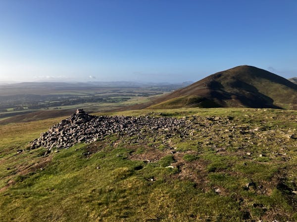
Scald Law (579m) and Carnethy Hill (573m), Flotterstone
The highest peak in the Pentlands is a scenic and straightforward hike offering some wonderful views!
Moderate Hiking
- Distance
- 13 km
- Ascent
- 599 m
- Descent
- 599 m
A brief drive from the city offers a short walk but big views!
Hiking Moderate

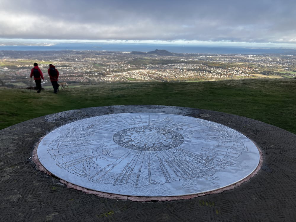
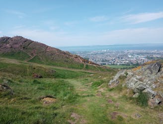
Looming over the city of the Edinburgh to the south and easily viewed from most of the area, Allermuir Hill (493m) sits on the edge of the Pentland Hills. The hill boasts its own ski centre and an excellent 360-degree view that stretches in all directions. Be warned though, it may seem a nice calm day for a hike when walking the ancient streets of Edinburgh, but up in these hills the wind whips strong and the cold bites fast so always enter this terrain ready for tough conditions.
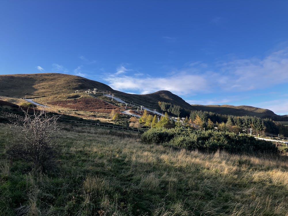
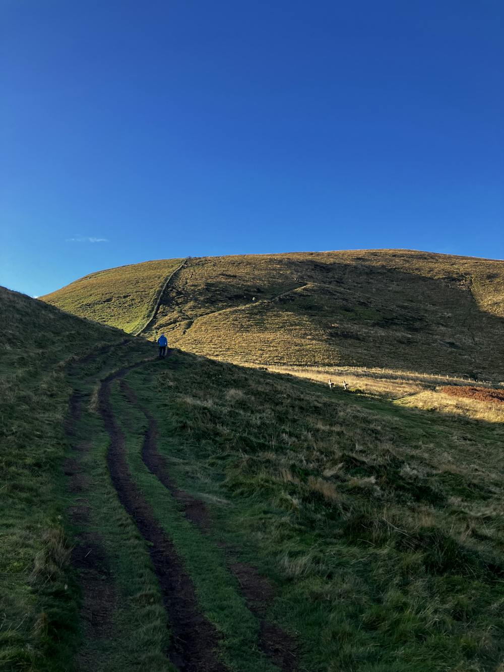
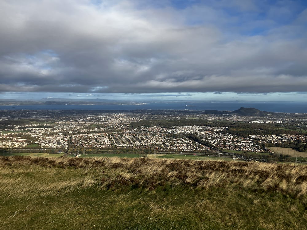
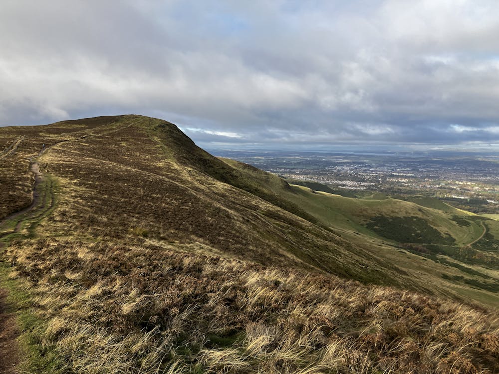
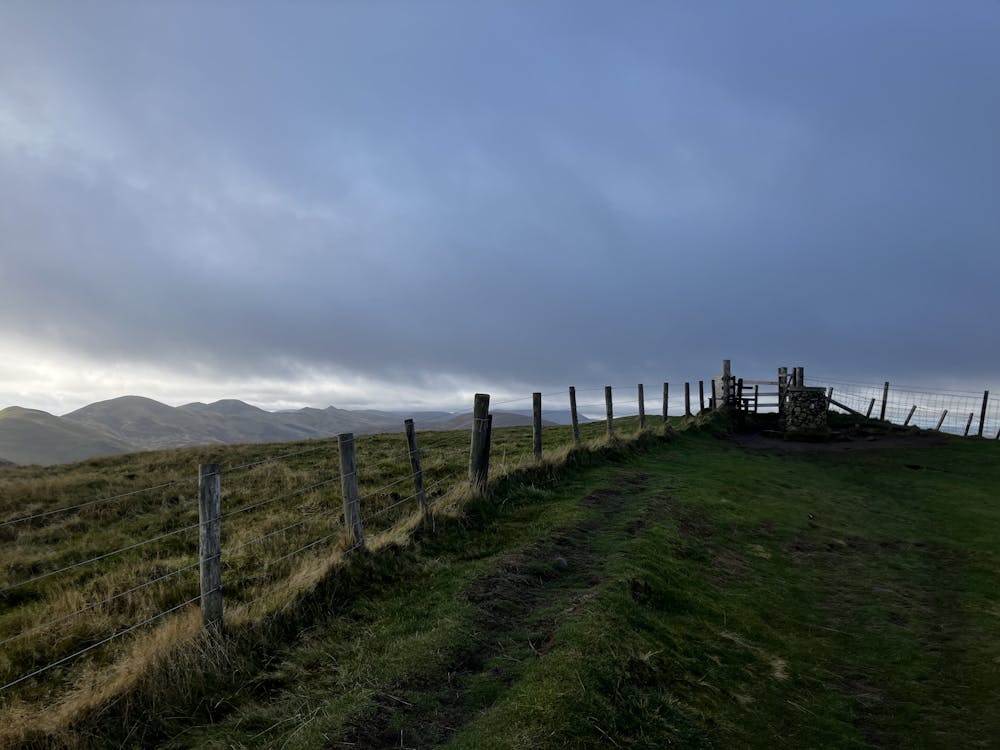
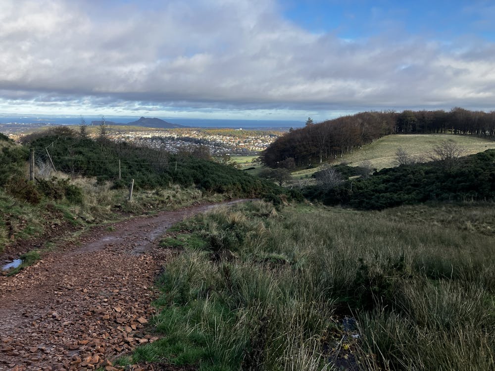
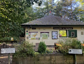
Park at the start of the road that takes you up to the Midlothian Snowsports centre on the left. Follow the well-worn path along the side of the road before ascending through the trees. As you climb out of the trees, you’ll notice the dry ski slope on your right and the first summit above that. The ground underfoot is somewhat boggy but you’re in Scotland so good luck finding somewhere that isn’t boggy! Climb the gentle slope and reach the summit of Caerketton Hill (478m) directly above the ski slope. From now until the summit of Allemuir, you’ll have excellent views of Edinburgh and Arthur’s seat.
Follow the path and the reasonable number of humans also out exploring the local area along the ridge as it yo-yo’s up and down to the summit of Allermuir Hill. The views are greatest here and the trigonometry stone even has a map to show you all the prominent features in the area. Follow your tracks back down to the saddle before veering left and following Swanston Burn stream down through a golf course and into the small village of Swanston. Follow the GPS file into the village before turning right to follow a track down to the main road. Walk up the main road on the pavement, stop in the pub for some lunch and then stroll back to the car park.
This hike and guide were completed during autumn weather conditions. This is just one opinion of this route. Make sure to do your own research by consulting local internet resources, mountain guides or guidebooks to evaluate other opinions so you can be best prepared for the terrain. A Guide by Red
Moderate
Hiking along trails with some uneven terrain and small hills. Small rocks and roots may be present.

The path is on completely flat land and potential injury is limited to falling over.

Away from help but easily accessed.
4.3 km away
The highest peak in the Pentlands is a scenic and straightforward hike offering some wonderful views!
Moderate Hiking
6.6 km away
Summit Edinburgh's most famous landmark and explore its finest park!
Difficult Hiking
3 routes · Hiking