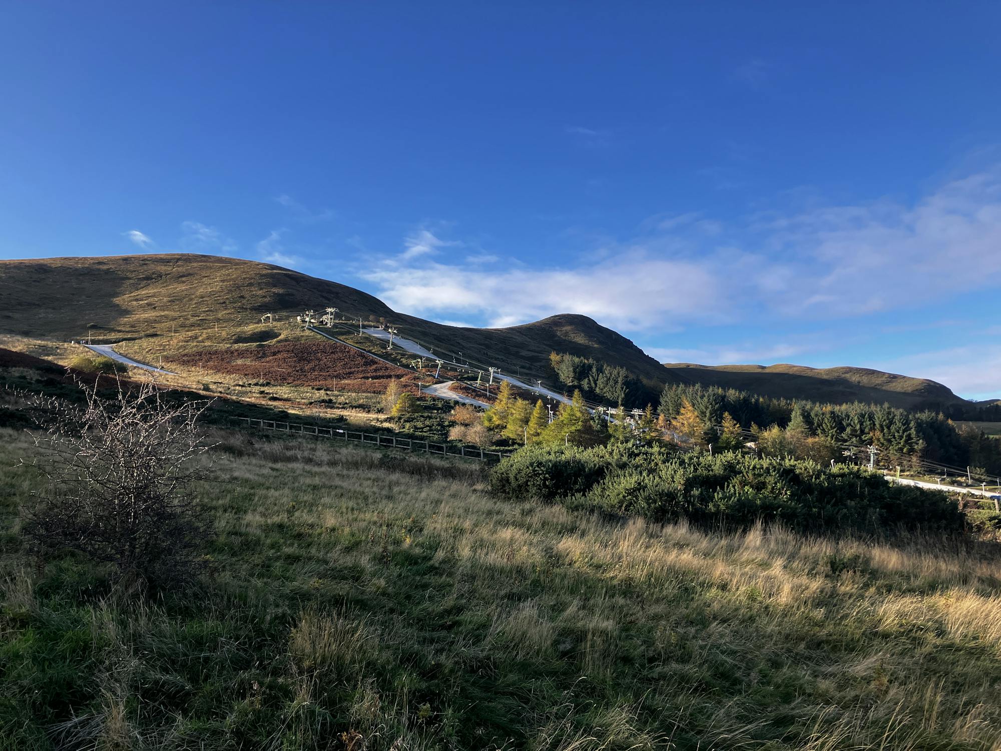
Allermuir Hill (493m) and Swanston
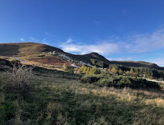
A brief drive from the city offers a short walk but big views!
Moderate Hiking
- Distance
- 6.1 km
- Ascent
- 401 m
- Descent
- 401 m
Go hiking in Edinburgh with curated guides of the best hikes across the region. With over 6 3D trail maps in FATMAP, you can easily discover and navigate the best trails in Edinburgh.
No matter what your next adventure has in store, you can find a guide on FATMAP to help you plan your next epic trip.
Get a top hiking trail recommendation in Edinburgh from one of our 1 guidebooks, or get inspired by the 6 local adventures uploaded by the FATMAP community. Start exploring now!
A brief drive from the city offers a short walk but big views!
Moderate Hiking
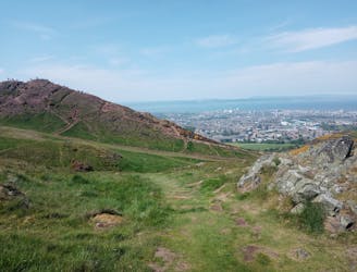
Summit Edinburgh's most famous landmark and explore its finest park!
Difficult Hiking

Continue along the completely flat towpath of the Union Canal through small waterfront communities, across an aqueduct over a river gorge, and among some sizeable shale pilings.
Easy Hiking

Take the Union Canal Towpath through a mosaic of infrastructure and greenery in the suburbs of Edinburgh, then into agricultural scenery around Ratho.
Easy Hiking

Follow a converted railway along the tree-lined Water of Leith, past some old mills and waterworks, into the outskirts of Edinburgh.
Easy Hiking

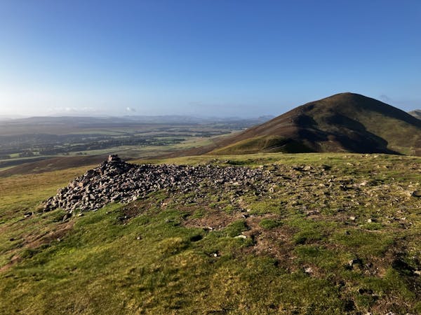
Pass through fields and the tiny village of Carlops, then ascend a grassy glen with groves of pine into heather moorland of the Pentland Hills, and down the other side into boggy farmland.
Moderate Hiking
3 routes · Hiking