4.7 km away
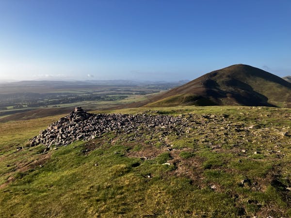
Allermuir Hill (493m) and Swanston
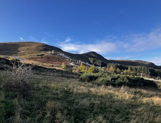
A brief drive from the city offers a short walk but big views!
Moderate Hiking
- Distance
- 6.1 km
- Ascent
- 401 m
- Descent
- 401 m
Take the Union Canal Towpath through a mosaic of infrastructure and greenery in the suburbs of Edinburgh, then into agricultural scenery around Ratho.
Hiking Easy
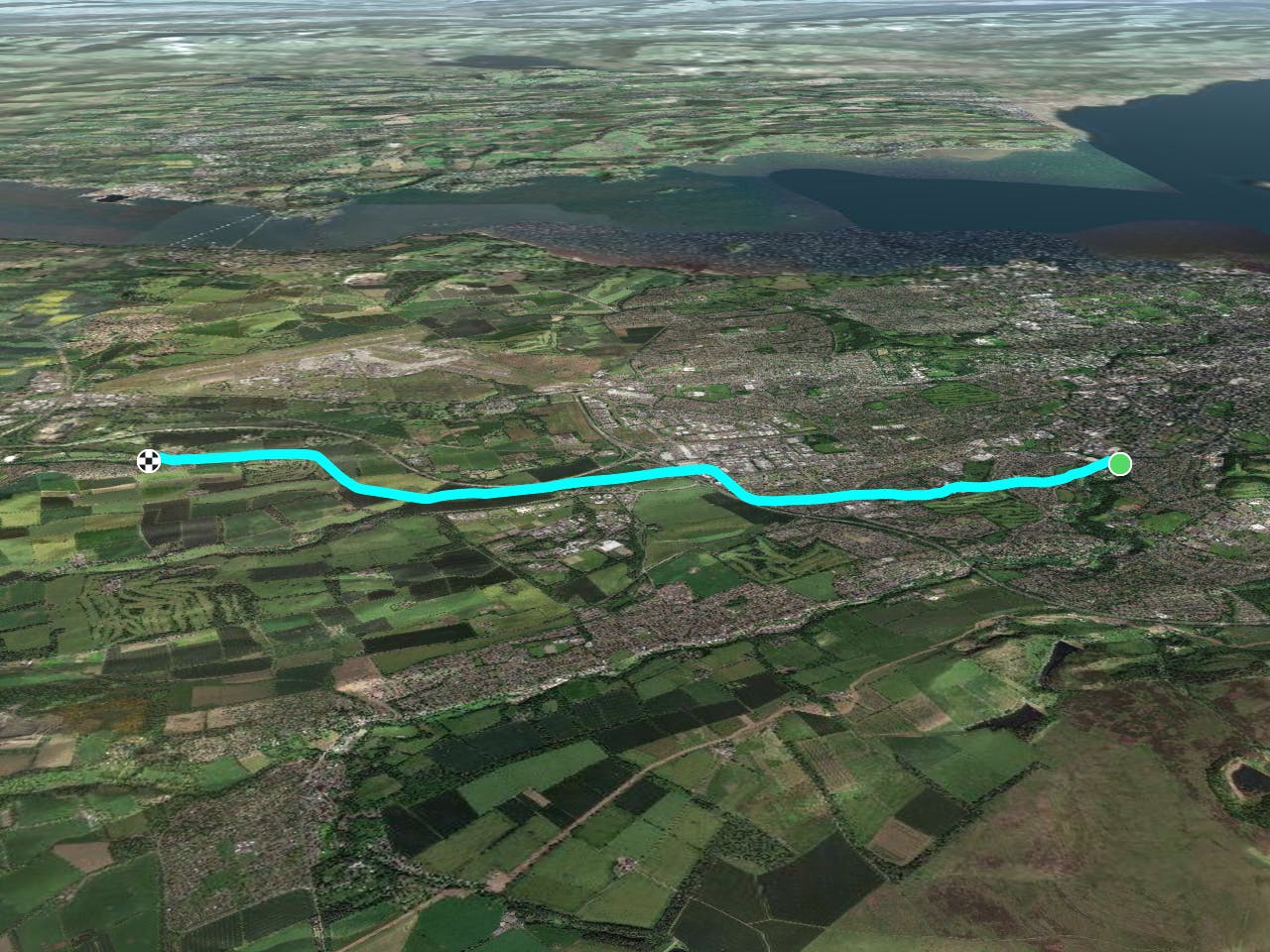
This is a popular hiking route which is generally considered to be easy. It's an unknown remoteness, it features unknown exposure and is typically done in an unknown time of year. From a low point of 60 m to the maximum altitude of 76 m, the route covers 9.4 km, 44 vertical metres of ascent and 32 vertical metres of descent.
Easy
Walking along a well-kept trail that’s mostly flat. No obstacles are present.
4.7 km away
A brief drive from the city offers a short walk but big views!
Moderate Hiking
6.4 km away
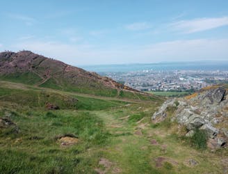
Summit Edinburgh's most famous landmark and explore its finest park!
Difficult Hiking
7.7 km away
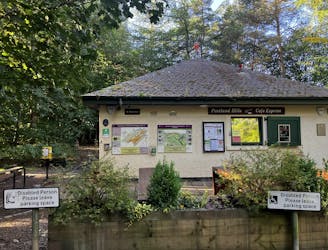
The highest peak in the Pentlands is a scenic and straightforward hike offering some wonderful views!
Moderate Hiking
3 routes · Hiking