7.9 km away
Scald Law (579m) and Carnethy Hill (573m), Flotterstone
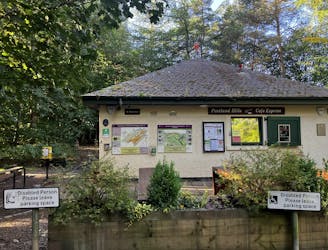
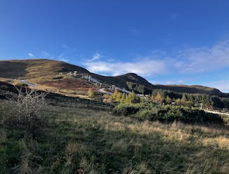
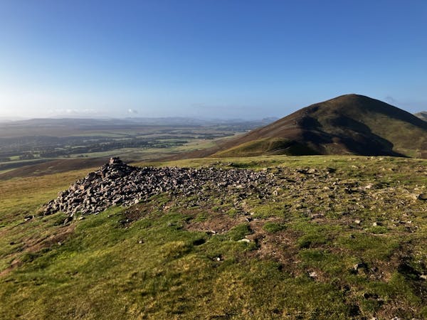
The highest peak in the Pentlands is a scenic and straightforward hike offering some wonderful views!
Moderate Hiking
- Distance
- 13 km
- Ascent
- 599 m
- Descent
- 599 m
Follow a converted railway along the tree-lined Water of Leith, past some old mills and waterworks, into the outskirts of Edinburgh.
Hiking Easy

This is a popular hiking route which is generally considered to be easy. It's an unknown remoteness, it features unknown exposure and is typically done in an unknown time of year. From a low point of 61 m to the maximum altitude of 161 m, the route covers 8.6 km, 101 vertical metres of ascent and 198 vertical metres of descent.
Easy
Walking along a well-kept trail that’s mostly flat. No obstacles are present.
7.9 km away
The highest peak in the Pentlands is a scenic and straightforward hike offering some wonderful views!
Moderate Hiking
8.7 km away
A brief drive from the city offers a short walk but big views!
Moderate Hiking
3 routes · Hiking