3.6 km away
Ciste Gully

One of Cairngorm's longest descents close to the lift system
Difficult Freeride Skiing
- Distance
- 3 km
- Ascent
- 12 m
- Descent
- 561 m
One of the most skied patches of snow in Scotland.
Freeride Skiing Moderate

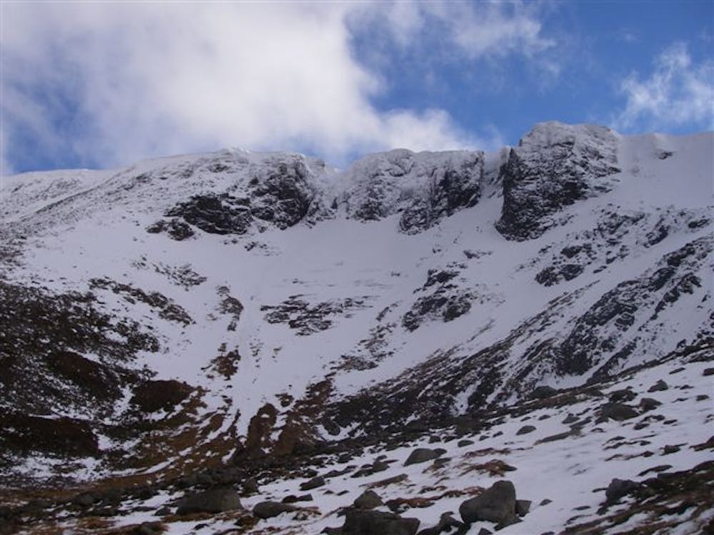
Lurchers can be approached in a few different ways, either through hiking up from the top car park, after skiing a line in Coire an t-Sneachda, or after touring from Ben Macdui or the Loch Avon basin. Skirt round the side of Cairn Lochan, descending first on a north-west aspect before picking up the visible patch of snow heading north towards the top car park of Cairngorm mountain. In all but the snowiest years, you’ll have to hike back up and over to join onto the walkers path coming from Coire an Lochain/Coire an t-Sneachda for the last stretch towards the car. The terrain varies depending on recent wind distribution of snow however it isn't steep and allows for a playful approach to be taken on the way back to the car park.
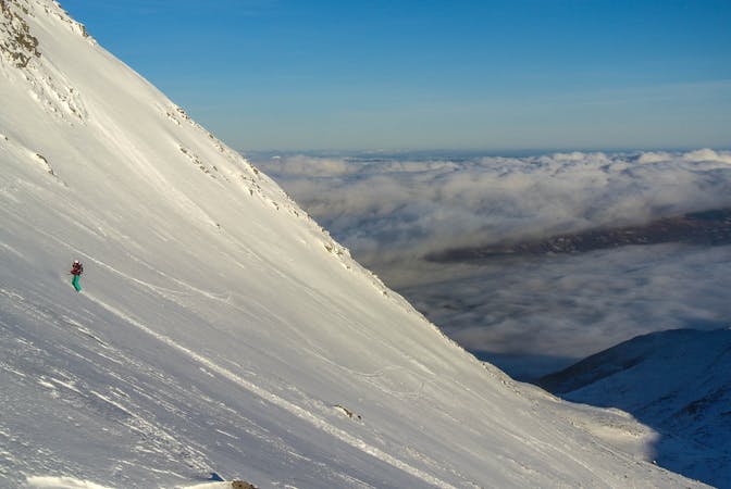
Moderate
Slopes become slightly steeper at around 25-30 degrees.

Exposure is limited to that of the slope itself. Getting hurt is still likely if the slope is steep and/or the snow is hard.

Little chance of being seen or helped in case of an accident.
3.6 km away
One of Cairngorm's longest descents close to the lift system
Difficult Freeride Skiing
3.6 km away

A useful vantage point before trying the more serious Coire Cas headwall
Moderate Freeride Skiing
3.7 km away

A playful off-piste route above Cairngorm's famous White Lady
Moderate Freeride Skiing
3.7 km away

A classic descent at Cairngorm for advanced riders
Difficult Freeride Skiing
3.8 km away

A snow sure descent with stunning scenery
Difficult Freeride Skiing
3.8 km away

A short, gentle introduction to off-piste skiing
Easy Freeride Skiing
5 routes · Freeride Skiing
7 routes · Freeride Skiing · Ski Touring