12 m away
Liathach
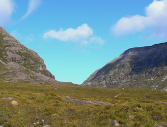
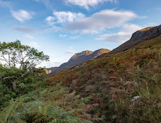
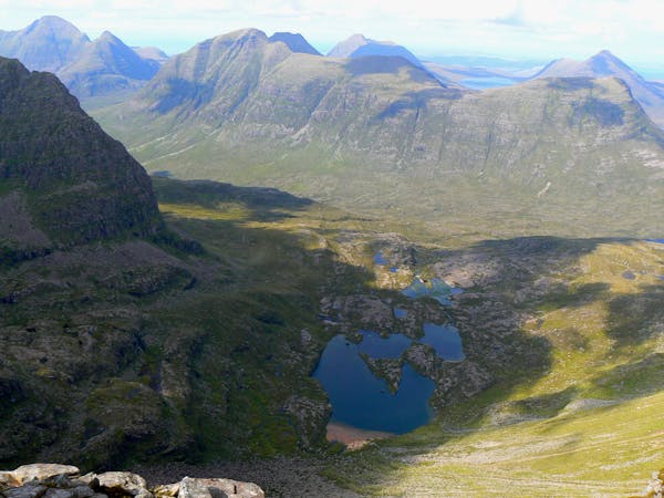
Torridon is the archetypal west coast range, and if you like your scenery on an epic scale it's unequalled.
Extreme Hiking
- Distance
- 15 km
- Ascent
- 1.3 km
- Descent
- 1.3 km
Beinn Eighe x2 Munros - Rocky and uneven hike
Hiking Severe

Starting at the car park, where the Torridon stag can frequently be seen. It is a long gentle walk through the mountains to Loch Coire. You then walk around the loch to the far side. From the loch it is a scramble over the rocks and up a steep and rocky gully. Once at the top you turn left to summit 1010m, coming back again you carry on along the ridge, with amazing views on a clear day. Along the ridge you reach the second summit at 993m, coming back on yourself slightly and taking the steep path down the mountainside, this path can have many loose rocks. Halfway down the mountain you will find a well maintained path which takes you down to the roadside and the second car park. A gentle mile walk along the road will then take you back to the first car park.
You could extend along the ridgeline to summit 2 more Munros, with the option to go down the NE side, or come back on yourself to go down the South side as described.
I saw many Red deer on this hike.
Severe
Hiking challenging trails where simple scrambling, with the occasional use of the hands, is a distinct possibility. The trails are often filled with all manner of obstacles both small and large, and the hills are very steep. Obstacles and challenges are often unexpected and can be unpredictable.

Some trail sections have exposed ledges or steep ascents/descents where falling could cause serious injury.

Away from help but easily accessed.
12 m away
Torridon is the archetypal west coast range, and if you like your scenery on an epic scale it's unequalled.
Extreme Hiking
8.9 km away
One of the true jewels of the north west, Beinn Alligin gives a stunning scrambly horseshoe that takes in two Munros and some exciting ground on the famous Horns of Na Rathanan.
Difficult Hiking
9.3 km away
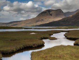
Rising from the forested shores of Loch Maree, arguably Scotland's best loch, this interesting and accessible Corbett offers stunning views of the nearby Torridon and Fisherfield hills.
Moderate Hiking
9.7 km away
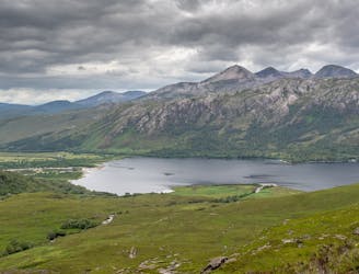
Seen from across Loch Maree Slioch is one of the great spectacles of the Northwest Highlands, a lone sandstone molar set in a jawbone of gneiss.
Difficult Hiking

9 routes · Hiking
5 routes · Mountain Biking · Hiking