150 m away
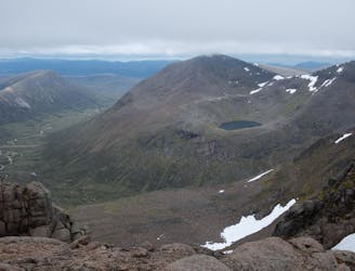
Tour of the Northern Corries
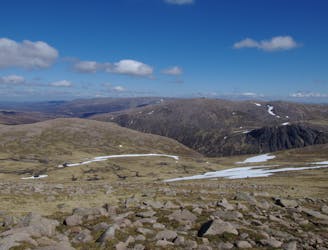
A classic hike around of Scotland's most famous peaks.
Difficult Hiking
- Distance
- 11 km
- Ascent
- 793 m
- Descent
- 793 m
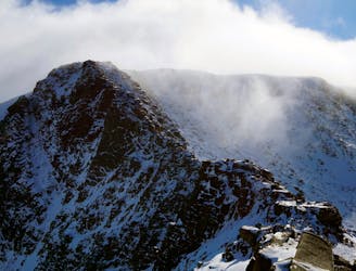
Walk in vis ski resort up to cairn gorm
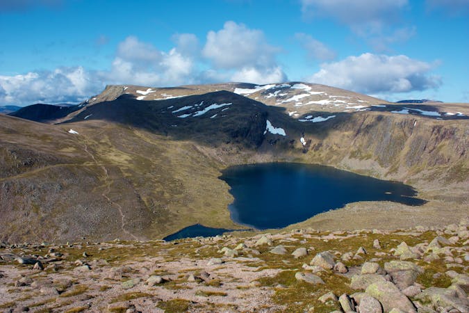
Hiking Severe

This is a popular hiking route which is generally considered to be severe. It's remote, it features extreme exposure and is typically done in undefined. From a low point of 625 m to the maximum altitude of 1.2 km, the route covers 6.4 km, 619 vertical metres of ascent and 616 vertical metres of descent.
In winter hard going follow ridge left up to Cairngorm see Weather station down to Ptarmigan and continue to carpark.
Severe
Hiking challenging trails where simple scrambling, with the occasional use of the hands, is a distinct possibility. The trails are often filled with all manner of obstacles both small and large, and the hills are very steep. Obstacles and challenges are often unexpected and can be unpredictable.

Some trail sections are extremely exposed where falling will almost certainly result in serious injury or death.

Away from help but easily accessed.
150 m away
A classic hike around of Scotland's most famous peaks.
Difficult Hiking
151 m away
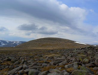
A classic and easily accessible hike/scramble in the Northern Corries
Severe Hiking
187 m away
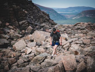
A very pleasant ascent up Britain's 2nd highest mountain with wonderful views of the Cairngorms.
Moderate Hiking
1.3 km away
A committing loop taking in all five Munros located in the Cairngorms National park
Difficult Hiking
1.3 km away
With its wide rolling plateau and monumental corrie system Scotland's third highest mountain is also one of its most interesting and impressive.
Extreme Hiking
3 routes · Hiking