7.8 km away
Scottish 4000ers: Cairngorms (Part 3 / 3)
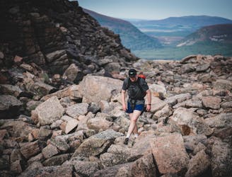
A committing loop taking in all five Munros located in the Cairngorms National park
Difficult Hiking
- Distance
- 35 km
- Ascent
- 2.5 km
- Descent
- 2.4 km
Day 1 approach to Corrour Bothy
Also in Aberdeenshire, United Kingdom
Hiking Moderate

This is a popular hiking route which is generally considered to be moderate. It's remote, it features low exposure and is typically done all year round. From a low point of 239 m to the maximum altitude of 839 m, the route covers 19 km, 668 vertical metres of ascent and 344 vertical metres of descent.
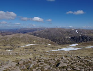
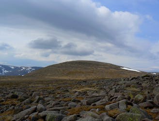
A moderate approach route to Corrour Bothy which is a great base for surrounding summits
Moderate
Hiking along trails with some uneven terrain and small hills. Small rocks and roots may be present.

The path is on completely flat land and potential injury is limited to falling over.

Away from help but easily accessed.
7.8 km away
A committing loop taking in all five Munros located in the Cairngorms National park
Difficult Hiking
7.8 km away
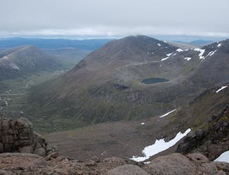
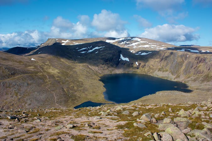
With its wide rolling plateau and monumental corrie system Scotland's third highest mountain is also one of its most interesting and impressive.
Extreme Hiking
8.8 km away
A classic hike around of Scotland's most famous peaks.
Difficult Hiking
8.8 km away
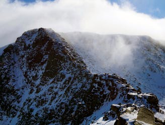
A classic and easily accessible hike/scramble in the Northern Corries
Severe Hiking
8.9 km away
A very pleasant ascent up Britain's 2nd highest mountain with wonderful views of the Cairngorms.
Moderate Hiking
3 routes · Hiking