908 m away
The Mighty Slioch
Seen from across Loch Maree Slioch is one of the great spectacles of the Northwest Highlands, a lone sandstone molar set in a jawbone of gneiss.
Difficult Hiking
- Distance
- 13 km
- Ascent
- 1.1 km
- Descent
- 684 m
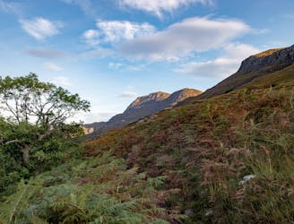
Crossing the Great Wilderness, tracing rivers and lochs on mostly good tracks but some pathless travel, with abundant views from comfortable wild-camp spots.
Hiking Difficult

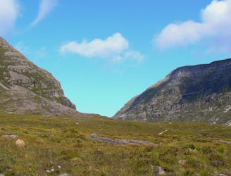
This is a popular hiking route which is generally considered to be difficult. It's an unknown remoteness, it features unknown exposure and is typically done in an unknown time of year. From a low point of 29 m to the maximum altitude of 574 m, the route covers 28 km, 742 vertical metres of ascent and 663 vertical metres of descent.
Difficult
Hiking trails where obstacles such as rocks or roots are prevalent. Some obstacles can require care to step over or around. At times, the trail can be worn and eroded. The grade of the trail is generally quite steep, and can often lead to strenuous hiking.
908 m away
Seen from across Loch Maree Slioch is one of the great spectacles of the Northwest Highlands, a lone sandstone molar set in a jawbone of gneiss.
Difficult Hiking
4.2 km away
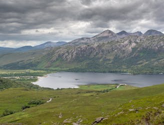
Rising from the forested shores of Loch Maree, arguably Scotland's best loch, this interesting and accessible Corbett offers stunning views of the nearby Torridon and Fisherfield hills.
Moderate Hiking
8.8 km away
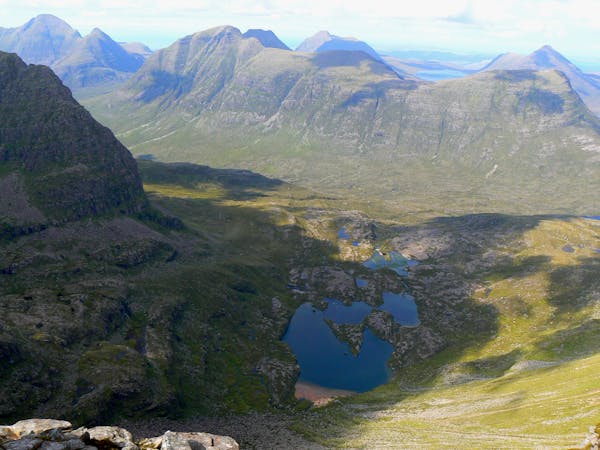
Torridon is the archetypal west coast range, and if you like your scenery on an epic scale it's unequalled.
Extreme Hiking
5 routes · Mountain Biking · Hiking