1.5 km away
River Feshie Loop
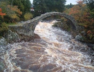
A wet, technical loop in the valley near Aviemore that runs up and down the banks of the River Feshie.
Severe Mountain Biking
- Distance
- 49 km
- Ascent
- 998 m
- Descent
- 998 m
A short and sharp Cairngorm classic.
Mountain Biking Severe

On paper, the trail looks short, with not much altitude loss, however this is a true Scottish classic, that will leave you with a big smile on your face!
Park at the entrance to the Rothiemurchus Camp & Caravan Park site (NH 914 106) and head up easily through the forest following signs for the Lairig Ghru, crossing the footbridge. Follow the path for one mile until you reach a junction, follow the signs for Rothiemurchus Lodge. The path will come to a T-junction, turn right and follow this all the way to the lodge. As you reach the lodge turn right. The path from here turns into a horrible unrideable, rocky, bog and bikes must be carried or pushed. The path eventually links back onto the Lairig Ghru.
If you're feeling adventurous, you can turn left and head up the valley for a few hundred meters although the track can get a tad technical. If not, turn right and head down into the valley. The top section is a little technical, but then turns into beautiful, flowing single track. Use caution on the descent as this is also a walking path. You will pop out at the junction you passed earlier. Repeat as necessary.
Reverse the route back through the forest to the start, or extend out into the trails in the surrounding forest.
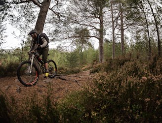
Severe
Widely variable, narrow trail tread with steeper grades and unavoidable obstacles of 15in/38cm tall or less. Obstacles may include unavoidable bridges 24in/61cm wide or less, large rocks, gravel, difficult root sections, and more. Ideal for advanced-level riders.
1.5 km away
A wet, technical loop in the valley near Aviemore that runs up and down the banks of the River Feshie.
Severe Mountain Biking
2.7 km away
Classic wild country MTB ride out of Aviemore
Moderate Mountain Biking
6.1 km away
Climb one of Scotland's famous corbetts and rip a technical singletrack back down to town.
Severe Mountain Biking
4 routes · Mountain Biking