5 km away
Cairngorm 4000ers Ski Tour
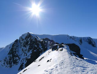
This incredible loop is well regarded as one of Scotland's best ski tours
Difficult Ski Touring
- Distance
- 31 km
- Ascent
- 2.5 km
- Descent
- 2.5 km
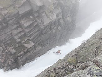
THE descent of the Loch Avon Basin. A fine "splitter" separating Shelter Stone Crag from Carn Etchachan
Ski Touring Moderate

This is a popular ski touring route which is generally considered to be moderate. It's an unknown remoteness, it features medium exposure (e2) and is typically done between January and March. From a low point of 745 m to the maximum altitude of 1.1 km, the route covers 840 m, 13 vertical metres of ascent and 314 vertical metres of descent. You'll need rope, skins, ice axe and crampons to complete it safely.
Frequently skied following an ascent on foot to check conditions. But can also be accessed from the plateau either after an ascent of Ben Macdui or by crossing Garbh Uisage Mor.
Moderate
Slopes become slightly steeper at around 25-30 degrees.

As well as the slope itself, there are some obstacles (such as rock outcrops) which could aggravate injury.
5 km away
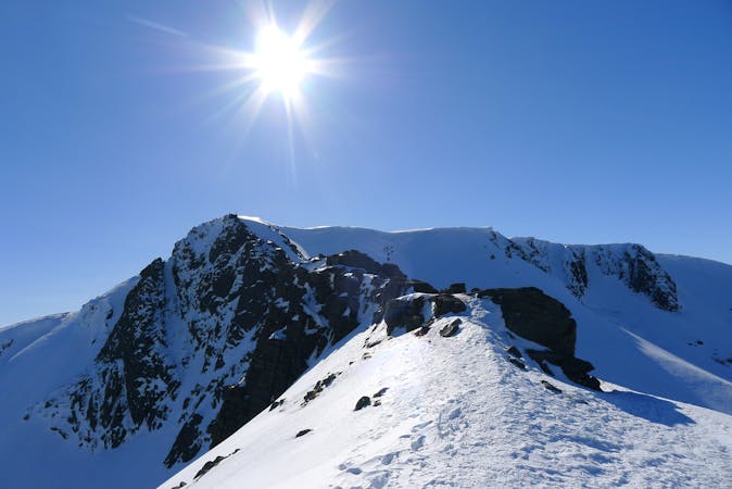
This incredible loop is well regarded as one of Scotland's best ski tours
Difficult Ski Touring
7.5 km away
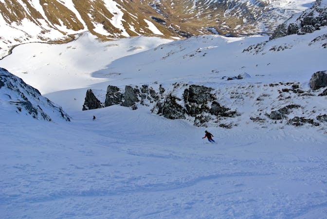
Taking in 5 of Scotland's 10 highest mountains in one giant, beautiful day out.
Severe Ski Touring
5 routes · Ski Touring
7 routes · Freeride Skiing · Ski Touring