6 km away
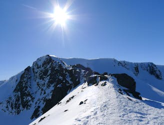
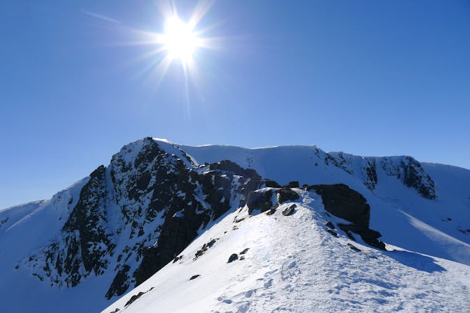
The Legendary Cairngorm 4000ers route - an anti clockwise skier's variant.
Taking in 5 of Scotland's 10 highest mountains in one giant, beautiful day out.
Severe Ski Touring
- Distance
- 30 km
- Ascent
- 2.7 km
- Descent
- 2.5 km
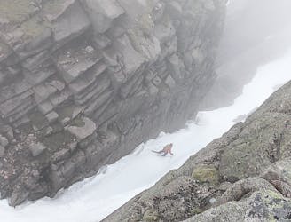
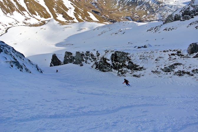
A great descent down into the Loch Avon basin.
Ski Touring Difficult

Take the funicular to the top station before skinning/hiking up to the top of Cairngorm. From here, ski off the summit in a south/south-westerly direction, descending to the top of Stag Rocks. It can be quite difficult to find the entrance to both Y and diagonal gully (close neighbours), especially in flat light so make sure you have a map/compass in addition to FATMAP and know exactly where you’re headed. There is a rocky outcrop at the top of the line, giving both contrast and the gully's name. Skier's right can be a bit easier to get into, though cornices can still be an issue if recent winds have been from the north. Unusually for Scotland, this line gets steeper towards the bottom so make sure that your turns are calculated and that you are aware of any hazards in the gully such as protruding rocks. From the bottom, skin/hike out of the Loch Avon basin into Coire Domhain where you can decide where you go next! Finally, it is worth mentioning that Y Gully holds a southern aspect and is therefore warmed by the sun later in the season.
Difficult
Serious gradient of 30-38 degrees where a real risk of slipping exists.

As well as the slope itself, there are some obstacles (such as rock outcrops) which could aggravate injury.

In the high mountains or remote conditions, all individuals must be completely autonomous in every situation.
6 km away
Taking in 5 of Scotland's 10 highest mountains in one giant, beautiful day out.
Severe Ski Touring
7 km away
This incredible loop is well regarded as one of Scotland's best ski tours
Difficult Ski Touring
5 routes · Ski Touring
7 routes · Freeride Skiing · Ski Touring