15 routes · Hiking
Sometimes described as "the worst day on the Pennine Way", this is still a pleasant hike with a fabulous village at its end.
Hiking Difficult

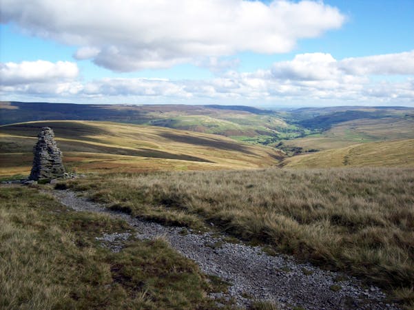
This day isn't one of the best on the Pennine Way but it's enjoyable enough, and the trail really improves north of Malham so the prospect of that should be appealing enough to keep you plugging away across the farmland.
The trail today winds its way through fields and villages, so although the navigation isn't "hard", it does require vigilance. Many a hiker has accidentally wandered off route and then had to track back to get to the trail - don't be another one!
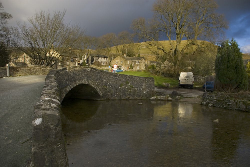
As well as the fields there are some enjoyable sections of riverside hiking and the chance to experience the Aire Gap, a series of low valleys which link the gritstone edges of the South Pennines and the limestone of the Yorkshire Dales. The area is full of history and has been a trading route through the mountainous central spine of England for thousands of years.
Nowadays the Aire Gap is criss-crossed with roads and is home to multiple villages, so this is one of the most logistically easy days on the entire Pennine Way and you'll rarely go long between places to eat. As such, you can carry a relatively light bag on this day with just a few snacks to keep you going between villages.
Upon arriving in Malham you'll find one of Yorkshire's most charming hamlets, several options for accommodation (including a campsite) and some excellent pubs!
The Pennine Way gets even better from Malham onwards so toast your efforts to reach this point and enjoy anticipating the wonders of the Yorkshire Dales.
Difficult
Hiking trails where obstacles such as rocks or roots are prevalent. Some obstacles can require care to step over or around. At times, the trail can be worn and eroded. The grade of the trail is generally quite steep, and can often lead to strenuous hiking.

The trail contains some obstacles such as outcroppings and rock which could cause injury.
Away from help but easily accessed.
15 routes · Hiking