Ben Chonzie (931m) from Glen Lednock
An easier Munro to claim!
Hiking Moderate
- Distance
- 13 km
- Ascent
- 717 m
- Descent
- 717 m
- Duration
- 3-4 hrs
- Low Point
- 214 m
- High Point
- 927 m
- Gradient
- 13˚

"Ben Chonȝie, also known as Ben-y Hone, is a Scottish mountain situated eleven kilometres northwest of Crieff. It is the highest point of a large area of moorland and rounded hills between Loch Earn and Loch Tay, and with a broad, flat summit and relatively few distinguishing features, it is often regarded as one of Scotland's least interesting Munros."
- •
- •
- •
- •
- •
Description
https://en.wikipedia.org/wiki/BenChonzie
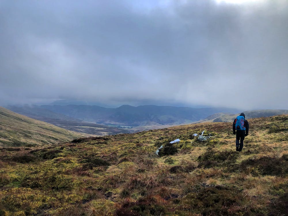
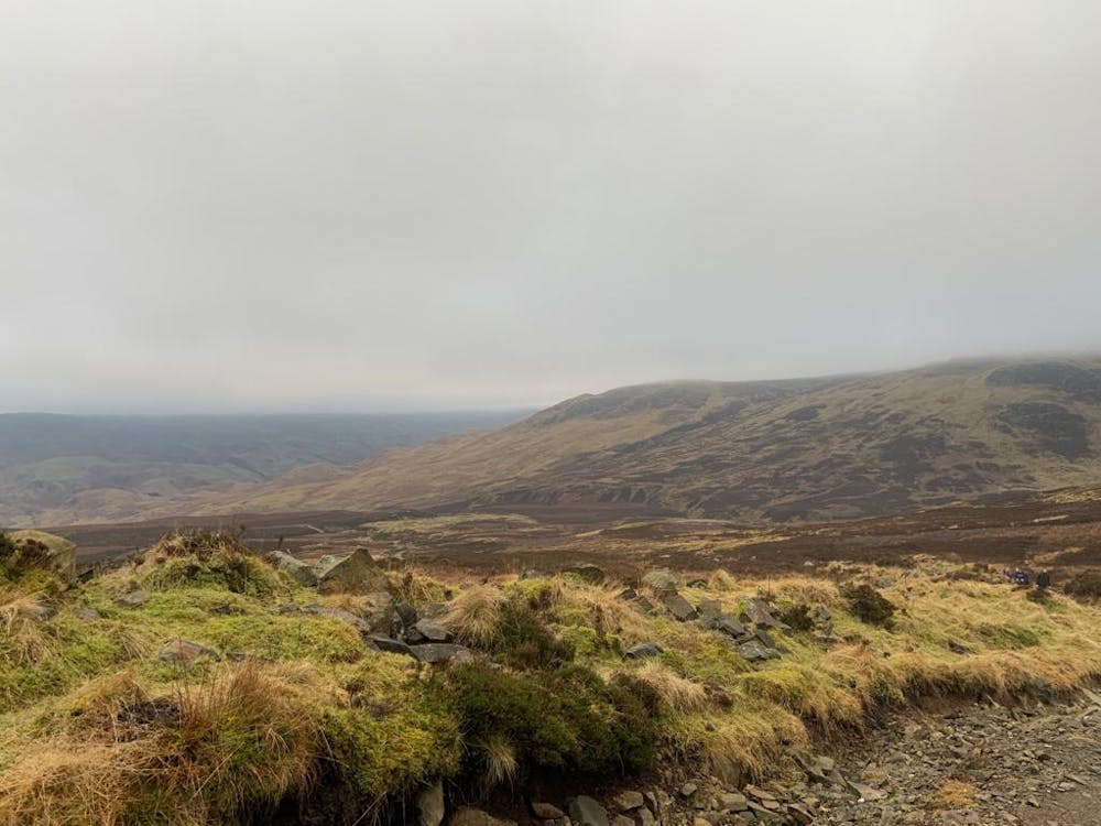
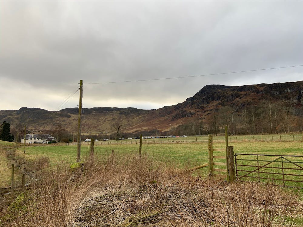
Red's Mountain Review: Start at the car park and head north, following the track passing the old school and some secluded house. When the track splits in two, stay on the main track. Follow the track all the way to the summit and retrace your steps back down.
This hike and guide was completed during summer weather conditions.
Difficulty
Moderate
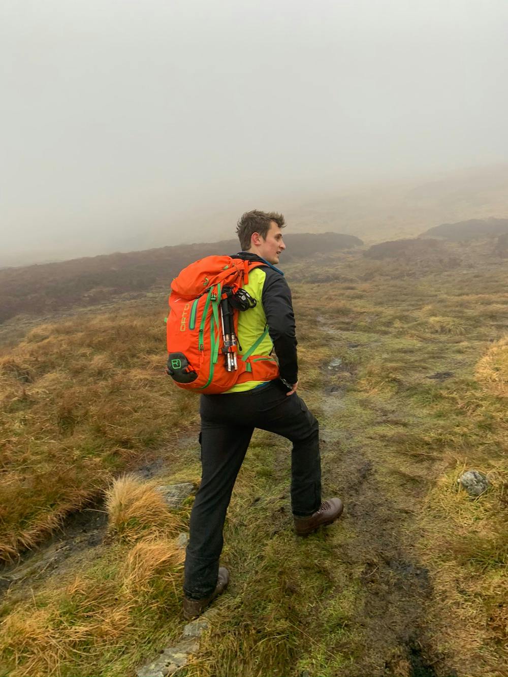
Hiking along trails with some uneven terrain and small hills. Small rocks and roots may be present.
Medium Exposure

The trail contains some obstacles such as outcroppings and rock which could cause injury.
Remoteness
Away from help but easily accessed.
Best time to visit
Features
- Wildlife
- Summit Hike
- Dog friendly
- Family friendly