Creag Uchdag (879m) from Glen Lednock
50% path, 50% bog
Hiking Moderate
- Distance
- 19 km
- Ascent
- 913 m
- Descent
- 913 m
- Duration
- 5-6 hrs
- Low Point
- 213 m
- High Point
- 869 m
- Gradient
- 16˚

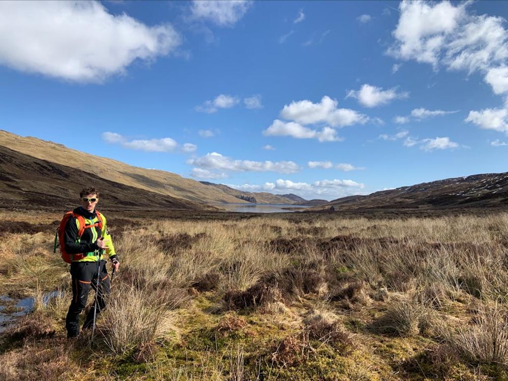
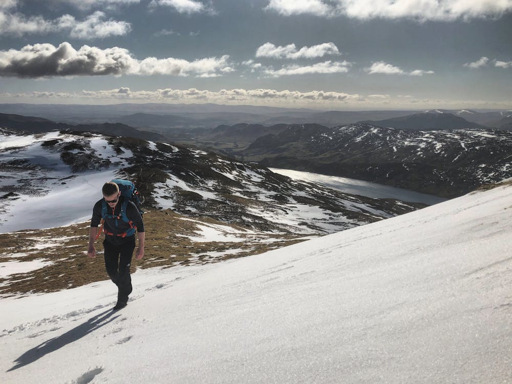
This little known summit of Creag Uchdag rises to 879m situated between Loch Tay and Glen Lednock. A boggy plateau, careful navigation on the southwestern aspect of Creag Uchdag and a cheeky stream / river crossing on the western edge of Loch Lednock means this route isn't for the Sunday strollers.
- •
- •
- •
Description
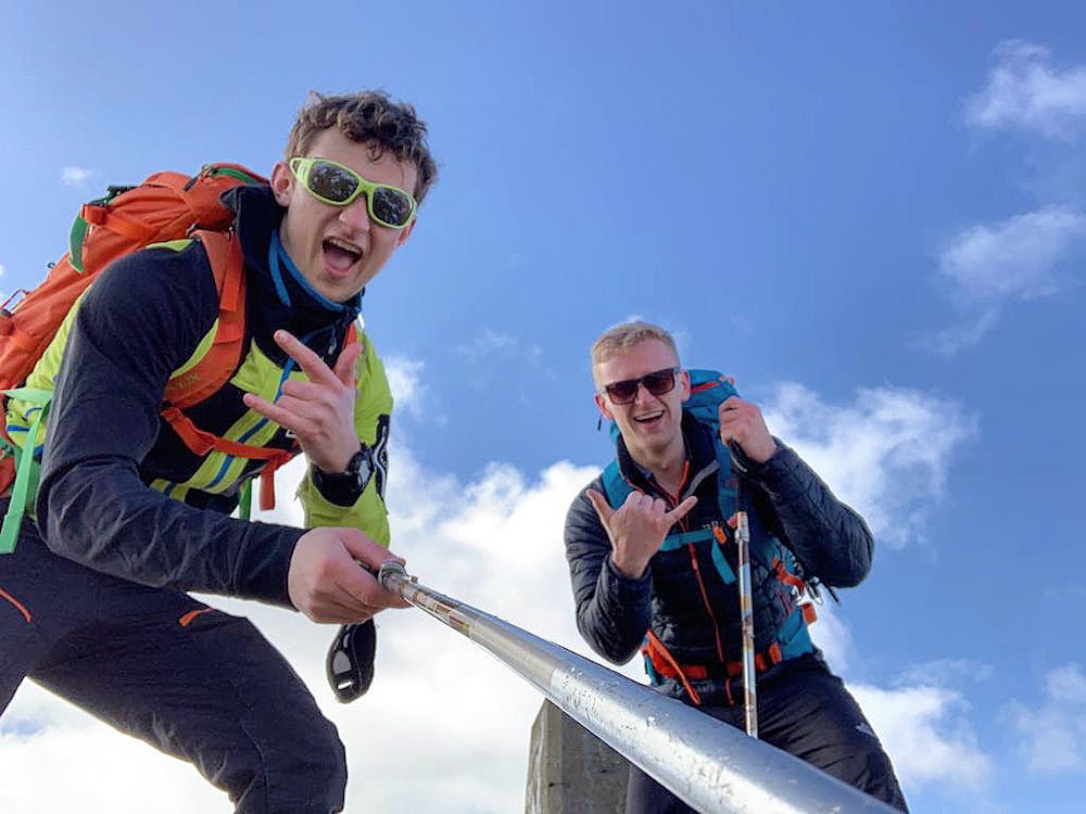
Red's Mountain Review: Start at the car park more commonly used for access up to Ben Chonzie (931m). Take the road west leading up towards Loch Lednock. Turn right once at the loch and start heading up-hill. Once at Creag Uchdag summit, drop off the southwestern aspect to head directly south down the slope. Be careful crossing the stream / river leading into Loch Lednock. Follow the route along the shore of Loch Lednock before rejoining the road that will take you back to the car park.
This hike and guide was completed during spring weather conditions.
Difficulty
Moderate
Hiking along trails with some uneven terrain and small hills. Small rocks and roots may be present.
Medium Exposure

The trail contains some obstacles such as outcroppings and rock which could cause injury.
Remoteness

Little chance of being seen or helped in case of an accident.
Best time to visit
Features
- Wildlife
- Picturesque
- Summit Hike
- Dog friendly
- Water features