4.4 km away
Ben Ledi (879m)
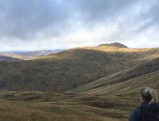
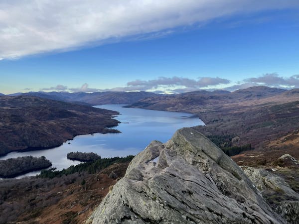
A popular hike in a romantic landscape
Difficult Hiking
- Distance
- 9.9 km
- Ascent
- 766 m
- Descent
- 767 m
Ascend to a panoramic point and enter the Highlands, where lightly traveled tracks lead through varied countryside with woods, moors, hills, and glens.
Also in Stirling, United Kingdom
Hiking Difficult

This is a popular hiking route which is generally considered to be difficult. It's an unknown remoteness, it features unknown exposure and is typically done in an unknown time of year. From a low point of 61 m to the maximum altitude of 350 m, the route covers 26 km, 674 vertical metres of ascent and 685 vertical metres of descent.
Difficult
Hiking trails where obstacles such as rocks or roots are prevalent. Some obstacles can require care to step over or around. At times, the trail can be worn and eroded. The grade of the trail is generally quite steep, and can often lead to strenuous hiking.
4.4 km away
A popular hike in a romantic landscape
Difficult Hiking
12 routes · Hiking