1 m away
Scottish National Trail
A superb long distance trek from the Lowlands to the Highlands, across the country of Scotland.
Difficult Hiking
- Distance
- 871 km
- Ascent
- 12 km
- Descent
- 12 km
Warm the legs with a climb up aptly-named Wideopen Hill, then continue through surrounding towns and farmlands, passing one old castle, and bridging River Teviot near Monteviot House.
Hiking Moderate

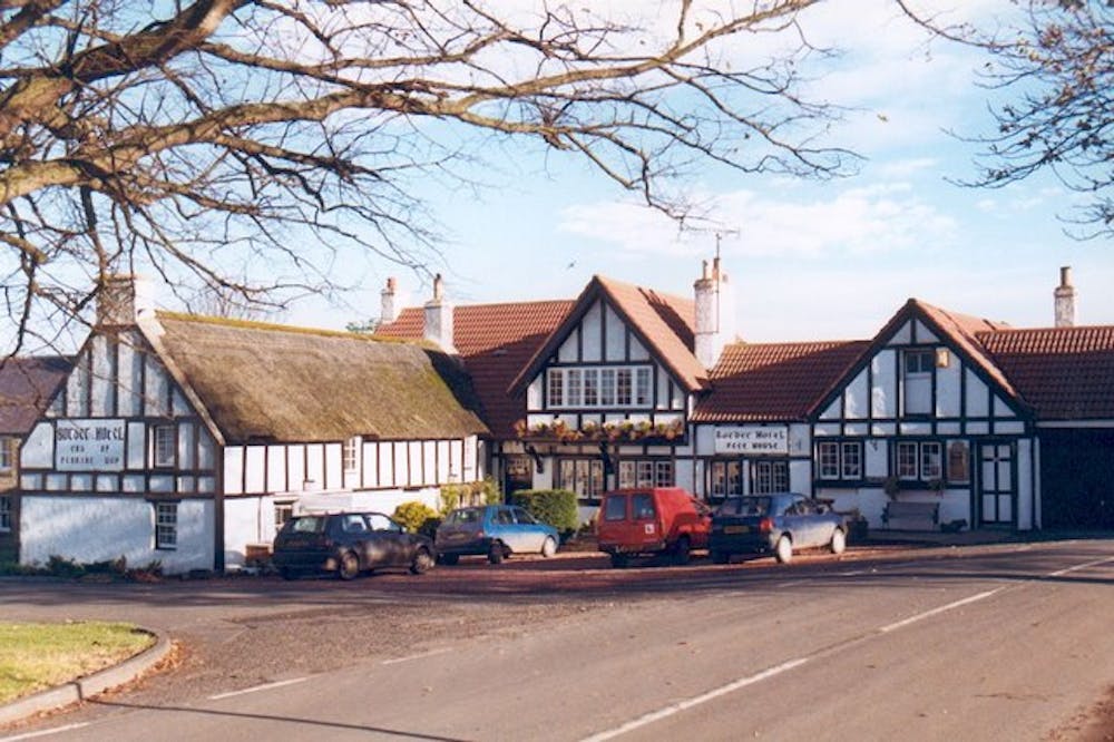
The tiny village of Kirk Yetholm doesn’t look like much, with little more than a small green and a modest hotel at its center, but the village and the Border Hotel, in particular, are notable as the northern end of the Pennine Way and the southern end of the Scottish National Trail (SNT).
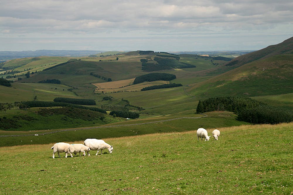
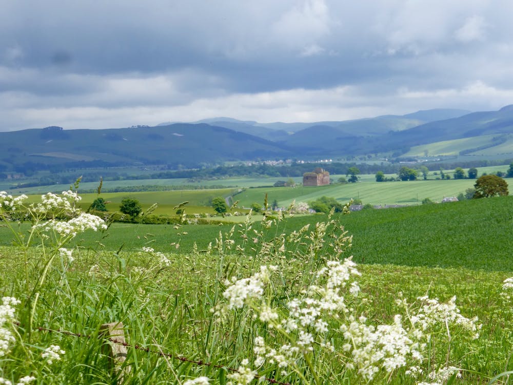
Embarking on the SNT (which at this stage is shared by St. Cuthbert’s Way), you’ll quickly leave the village and cross the river toward Town Yetholm, which has a bit more for amenities. If you need no supplies, simply continue past the town, following the cross symbols of St. Cuthbert’s Way. A country road leads along the side of the river valley, then a track climbs to the top of Wideopen Hill, through sheep pastures and along stone walls. This ascent will get the legs warm and please the eyes with views over the rolling green landscape.
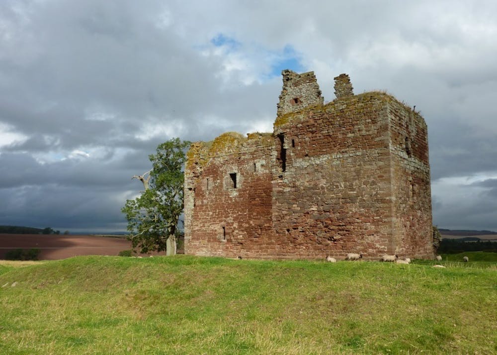
Down the other side of the hill, dirt tracks and minor roads lead through the village of Morebattle and past a ruined castle. The rest of the way to Harestanes is easy walking on footpaths and roads, among farm fields, small woodlands, along waterways, and sometimes over the water on footbridges. After skirting around the Monteviot Gardens, the next stage of the SNT continues northward, but you’ll not go this way just yet if stopping in Harestanes.
Harestanes has the Countryside Visitor Centre, which offers refreshment, supplies, and information. A bit farther along the road is the small town of Ancrum, which has more options for accommodation. There are some spots near Harestanes to wild camp instead, but they are limited.
Sources https://www.walkhighlands.co.uk/borders/kirk-yetholm-harestanes.shtml https://youtu.be/aEloyNgsHbg
Moderate
Hiking along trails with some uneven terrain and small hills. Small rocks and roots may be present.

The path is on completely flat land and potential injury is limited to falling over.

Away from help but easily accessed.
1 m away
A superb long distance trek from the Lowlands to the Highlands, across the country of Scotland.
Difficult Hiking

9 routes · Hiking