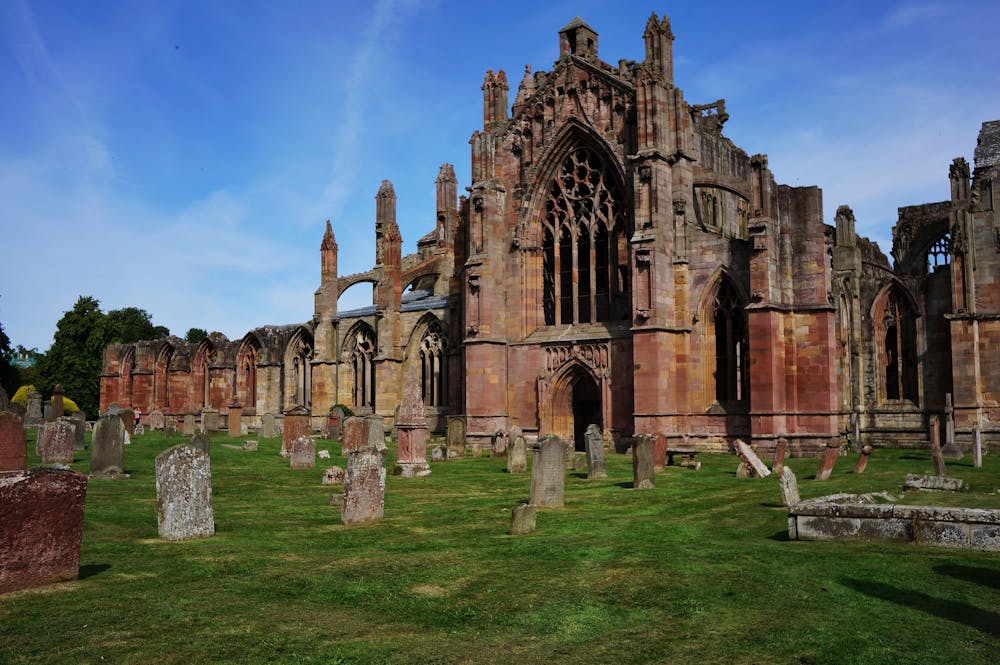
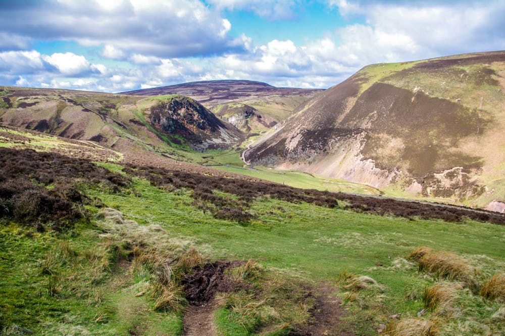
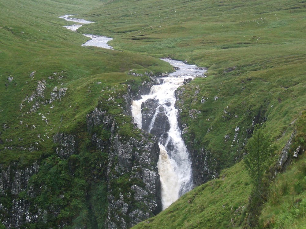
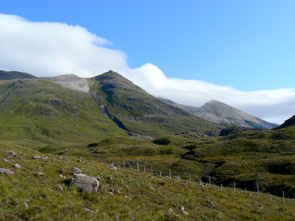
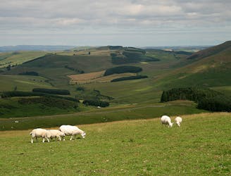
The variety of terrain and access points along the trail allow walkers to choose sections based on length and difficulty, but there is, of course, the option to walk the full trail from end to end, a challenging journey that typically takes 1-2 months. The scenery includes age-old castles, abbeys, historic homesteads, and green pastures set among Scotland’s breathtaking landscape of hills, high mountains, lakes, rivers, waterfalls, moors, bogs, sea cliffs, and islands.
Beginning at the Scottish Border in a small farm village, the trail rolls along verdant hills and flowing rivers on its way northward to Edinburgh, the capital. It follows a canal westward to leave the city, then connects more towns and farms on its way past Glasgow, into the land of lochs and mountains in the West Highlands. It works its way farther north into increasingly rugged and sparsely populated regions. Unbridged river crossings and backcountry camping are required along the path beyond Blair Atholl.
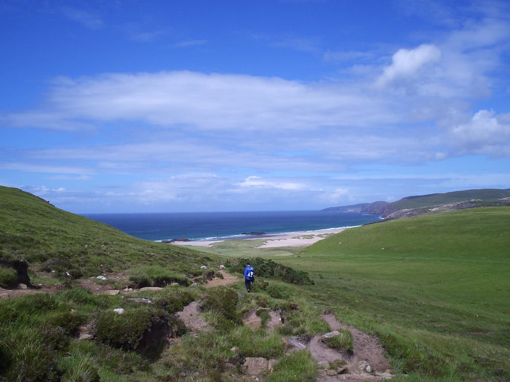
Moving northward, the mountains grow larger and the climate less hospitable. The trail passes within sight of the UK’s highest peak, Ben Nevis, and crosses the Great Glen, thus entering the wilds of the Northwest Highlands. There the climbs become steeper, the rivers more swift, and the navigation more difficult. An unmarked route across windswept ridgelines, through boggy valleys, and along steep cliffs leads eventually to the sea at Scotland’s most northwestern point, Cape Wrath.
Sources:
https://www.scottishnationaltrail.org.uk/
https://en.wikipedia.org/wiki/ScottishHighlands
https://www.walkhighlands.co.uk/scottish-national-trail.shtml