9.8 km away
Scottish National Trail: Traquair to Peebles

Rejoin the River Tweed and follow it through a valley of verdant pastures between wooded hills.
Easy Hiking
- Distance
- 12 km
- Ascent
- 183 m
- Descent
- 181 m
Follow gravel roads and grassy tracks alongside stone walls and wood fences, through farmland and rolling moorland, then into historic West Linton with its charming brick buildings and clock tower.
Hiking Moderate

A main road leads through Peebles town centre, soon passing a holiday park with campsites. The Scottish National Trail then departs the pavement for a dirt track, going uphill among farmland with views over the town. This is now shared with the Cross Borders Drove Road, a walking path along the historic route used to drive cattle to market in England.
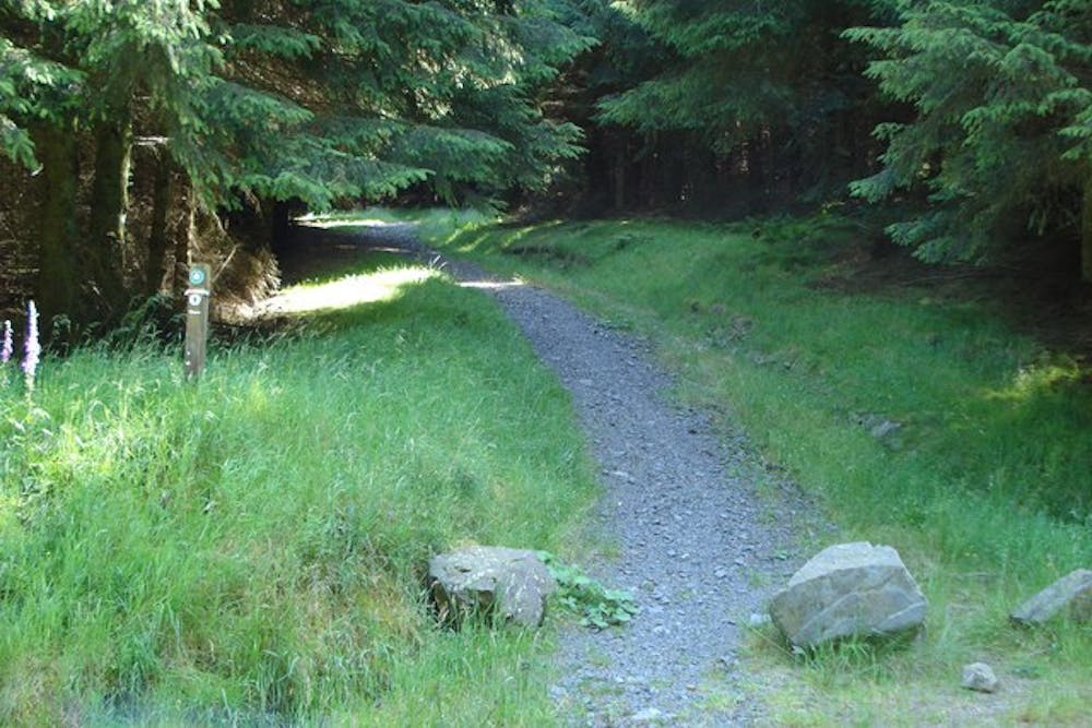
The track becomes grassier as it continues through the pastures, along fences, and through gates. You’ll cross a small burn on a footbridge, then walk beside some forestry before again turning on a dirt track. From there, a sequence of country lanes leads by a few cottages and then to another small burn, which must be forded. Then a path leads into the tall firs of Cloich Forest––a starkly different setting than the fields that surround. After emerging into felled forestry, join a dirt road and descend a big hill to Flemington Burn, where a footpath turns and crosses.
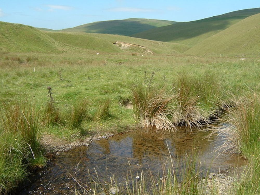
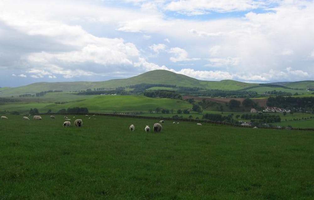
Here the trail enters a surprisingly large tract of undeveloped moorland, and the path ascends another burn between two steep hills. Here you’ll find comfortable wild camping, and it’s perhaps the last good place to do so until well beyond Edinburgh. After ascending to exit this glen, the setting becomes farmland once again, but still with very nice views into a broad valley, with the Pentland Hills on the horizon.
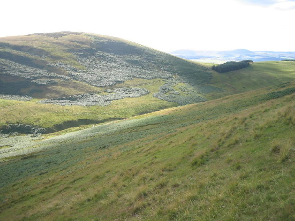
After passing through a neighborhood near Romanno House, farm tracks and minor roads link together an indirect route to West Linton, climbing Broomlee Hill along the way. It’s a bit steep but grants 360-degree views on top. A few disused quarries can be found on the hill, making an interesting historical aside. Beyond the hill is the town, which has plenty of shops and accommodations. West Linton denotes the entrance of the SNT into central Scotland, where the setting becomes decidedly less rural.
Sources: https://www.walkhighlands.co.uk/borders/peebles-west-linton.shtml https://youtu.be/sY61iTsg-Po
Moderate
Hiking along trails with some uneven terrain and small hills. Small rocks and roots may be present.

The trail contains some obstacles such as outcroppings and rock which could cause injury.
Away from help but easily accessed.
9.8 km away
Rejoin the River Tweed and follow it through a valley of verdant pastures between wooded hills.
Easy Hiking