FATMAP by Strava

Scottish National Trail: Traquair to Peebles

Rejoin the River Tweed and follow it through a valley of verdant pastures between wooded hills.

Hiking Easy

Distance
12 km
Ascent
183 m
Descent
181 m
Duration
2-3 hrs
Low Point
146 m
High Point
224 m
Gradient
Scottish National Trail: Traquair to Peebles Map

This section is relatively short and rather uneventful compared to the previous hilly stages. It more or less traces the River Tweed on easy paths to Peebles. Thus, the section can be easily combined with the next, or you may take extra time lounging at a hotel or exploring the Traquair House––a 12th-century hunting lodge with a modern restaurant and brewery.

Description

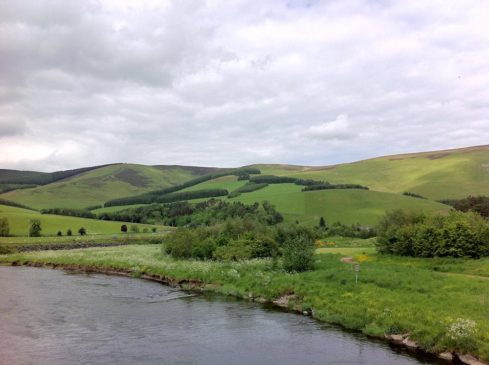
From Traquair, the SNT follows a road and climbs gently before taking to a forest path. Here the Tweed valley narrows, and you’ll get some nice views from clearings. After linking a few different tracks along the wooded hillside, you’ll rejoin the road and take it the rest of the way to Cardrona, a village with a coffee shop and a few other amenities.

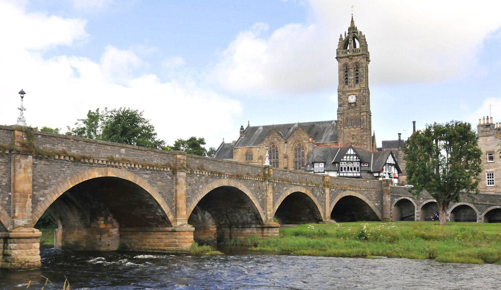
From there, follow the cycle path (a converted railway) over a bridge and through a resort golf course. Past the course, you’ll see the ruined Horsbrugh Castle nearby. The cycle path continues along the edge of forestry and fields. Eventually, a walker's path detours slightly from the cycle path, but they both follow the river until Peebles town centre. Peebles has all sorts of accommodations, including a holiday park with campsites.

Sources: https://www.walkhighlands.co.uk/borders/traquair-peebles.shtml https://youtu.be/cFtbC4TV4VI

Difficulty

Easy

Walking along a well-kept trail that’s mostly flat. No obstacles are present.

Low Exposure

1 out of 4

The path is on completely flat land and potential injury is limited to falling over.

Remoteness

1 out of 4

Close to help in case of emergency.

Best time to visit

all year round

Features

  • Historical
  • Picturesque
  • Dog friendly
  • Wild flowers
  • Water features
  • Family friendly

Similar routes nearby