10 routes · Hiking
A beautiful segment of the Pinhoti showcasing Alabama's diverse terrain.
Hiking Difficult

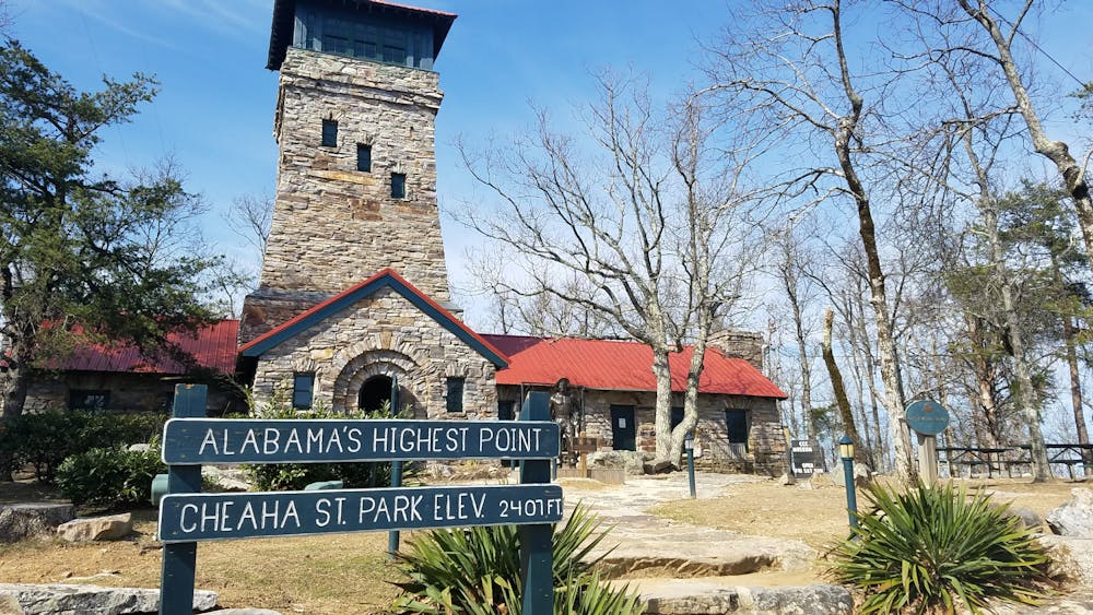
This portion of the Pinhoti Trail begins at Alabama's high point and terminates just a short drive from Interstate 20. Perfect as a shuttled hike, thru-hike, or overnight trip, it showcases the diversity of terrain found in the region. Multiple access points allow for endless day hike opportunities, especially near Cheaha State Park.

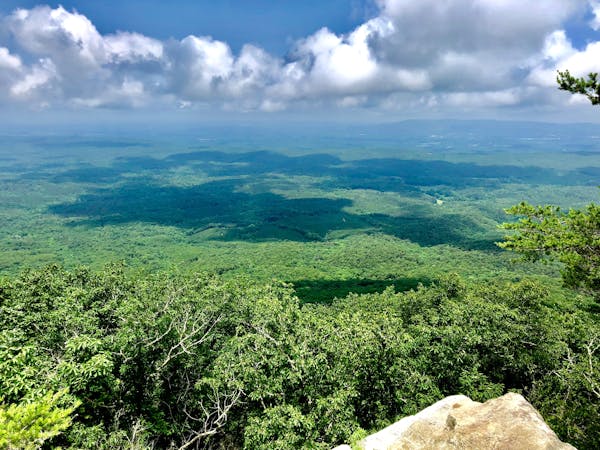
A parking area can be found along Talladega Scenic Drive adjacent to the state park. Begin your hike here or within the state park itself. A spur trail connects the Pinhoti to one of the best overlooks on the entire trail, Bald Rock. A challenging spur connects the two and is worth every step.
Heading north, the trail passes into remote backcountry, often far from help or cell reception. Though relatively close to town, you will be traversing a lesser traveled area as you pass over an old dirt road, labeled as Cheaha Road on most maps. A small dead-end gravel road allows access to the trail via a 1-mile walk.
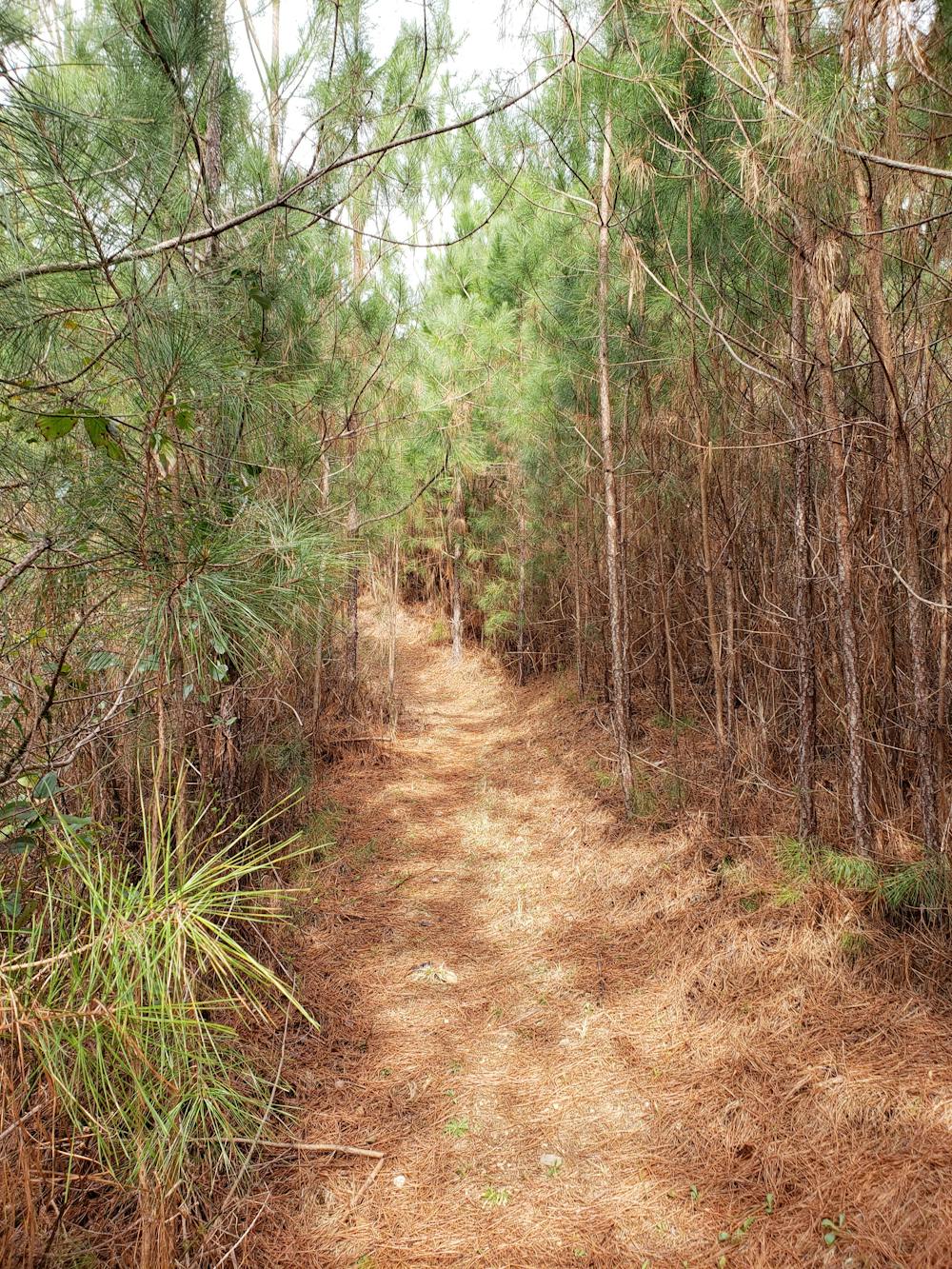
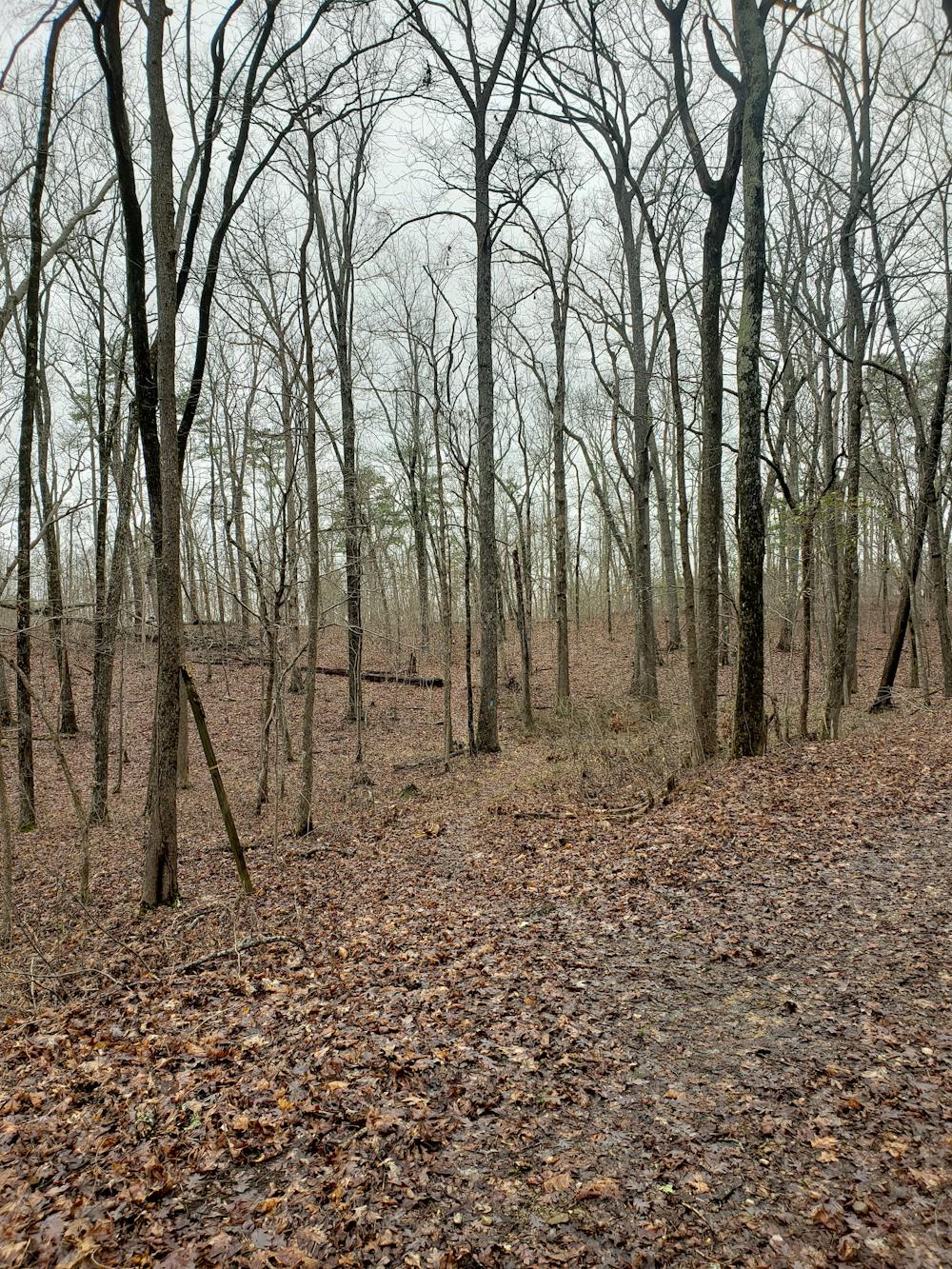
Meander your way through countless ravines as the trail follows contour lines along high points. The first half of this segment is mostly downhill, though intermittent climbs will begin to present themselves as you get further north.
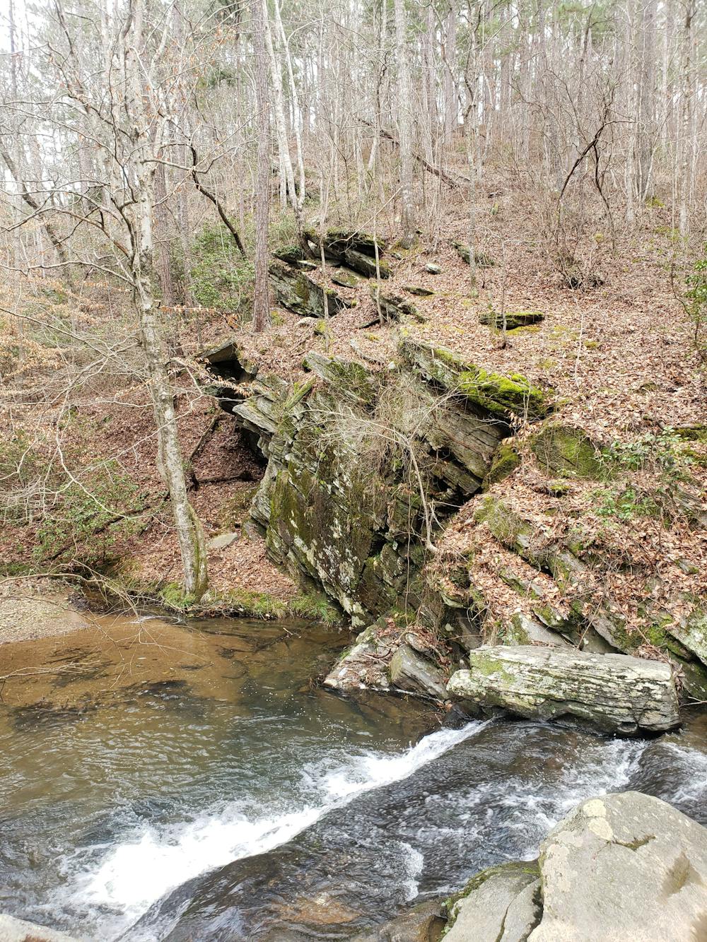
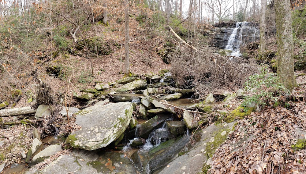
At County Road 24, the trail crosses the road and follows a small stream adjacent to Morgan Lake. A short spur leads to a picturesque waterfall, making a great backdrop for lunch. Not far up the trail, you will find another waterfall just as magnificent. Though Alabama isn't renowned for its massive, commanding waterfalls, these are just two of countless gems the Pinhoti showcases.
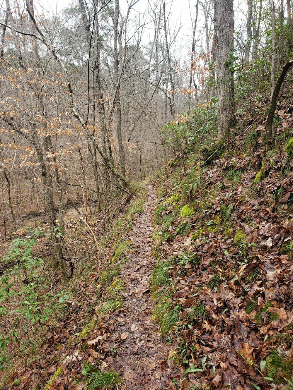
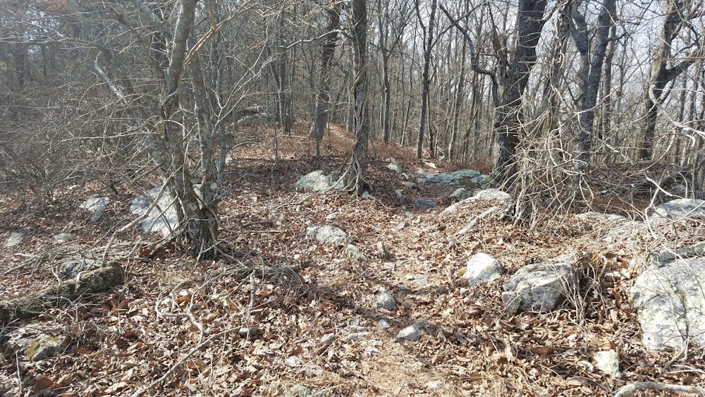
Ahead, the trail passes through multiple washes and ravines, alternating with steep climbs and descents as the trail follows the contours of endless mountains. At SR-431, the trail merges into a dirt road, making a brief to descent to the paved road before crossing it. To the east, you will find a small corner store should you need to resupply.
Ahead, the terrain becomes surprisingly more challenging as the trail twists and turns its way to Interstate 20. Follow the overpass across the highway and make the first right. There are plenty of trail blazes to keep you on track.
The final few miles are monotonous, but definitely not boring. You'll pass another stream then through an area devastated by a tornado several years ago. A placard denotes its historic relevance as well as the efforts in place to help with regrowth.
One final road crossing and the trail will merge onto FS-500. An active railroad track lies along a gravel trailhead. Primitive or vehicular camping is also available if you continue down the road. Multiple pull-offs will give you plenty of options.
Difficult
Hiking trails where obstacles such as rocks or roots are prevalent. Some obstacles can require care to step over or around. At times, the trail can be worn and eroded. The grade of the trail is generally quite steep, and can often lead to strenuous hiking.

The trail contains some obstacles such as outcroppings and rock which could cause injury.

Little chance of being seen or helped in case of an accident.
10 routes · Hiking