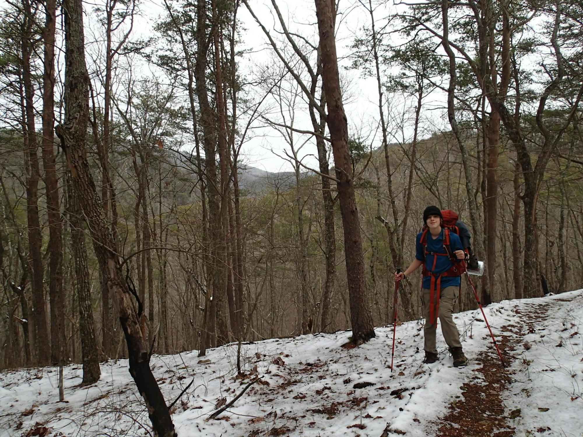
Pinhoti Trail: Burns Trailhead to High Point Trailhead, AL
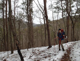
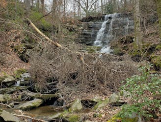
The Pinhoti as it traverses the Dugger Mountain Wilderness.
Difficult Hiking
- Distance
- 39 km
- Ascent
- 1.5 km
- Descent
- 1.5 km
Go hiking in Alabama with curated guides of the best hikes across the region. With over 6 3D trail maps in FATMAP, you can easily discover and navigate the best trails in Alabama.
No matter what your next adventure has in store, you can find a guide on FATMAP to help you plan your next epic trip.
Get a top hiking trail recommendation in Alabama from one of our 1 guidebooks, or get inspired by the 6 local adventures uploaded by the FATMAP community. Start exploring now!
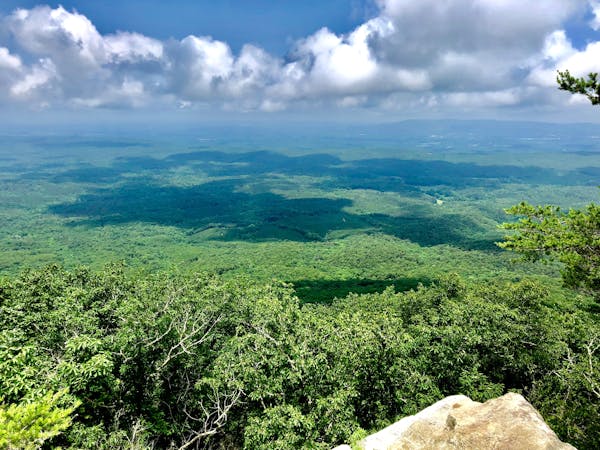
The Pinhoti as it traverses the Dugger Mountain Wilderness.
Difficult Hiking
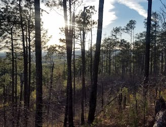
A relentless segment of the Pinhoti perfect for an overnight trip.
Difficult Hiking
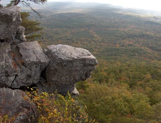
A deceptively-challenging segment of the Pinhoti ending at Alabama's high point.
Difficult Hiking

Two long ridgetop traverses on one of the southernmost segments of the Pinhoti.
Moderate Hiking
A beautiful segment of the Pinhoti showcasing Alabama's diverse terrain.
Difficult Hiking
10 routes · Hiking