10 routes · Hiking
A relentless segment of the Pinhoti perfect for an overnight trip.
Hiking Difficult

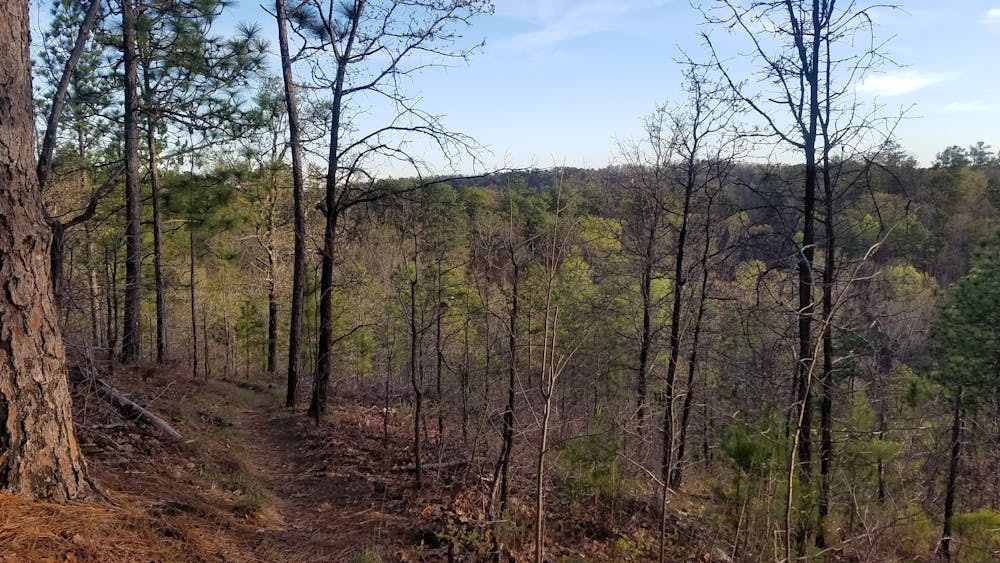
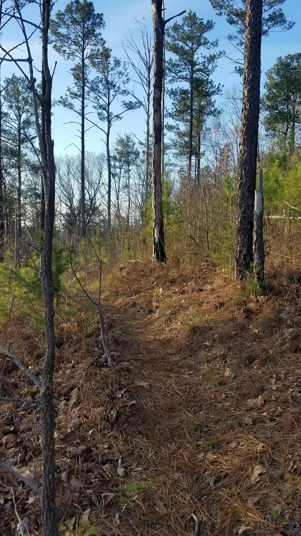
This segment of the 330-mile-long Pinhoti Trail begins and ends at two popular trailheads, passing through two large campgrounds on its way. Few sweeping views will be found on this portion, but beautiful flora and fauna line this portion of trail as it winds into coves and around points deep in the Piedmont.
The southern terminus is the trailhead along FS-500. If traveling along Interstate 20, it is less than a ten-minute detour off the highway to access this trailhead. An active railroad lies along the trailhead and should be crossed with caution. It is advised not to camp too close to this trailhead, as the train will undoubtedly keep you awake.
For a better overnight campsite or vehicular camping option, follow the forest service road along the tracks, and you will find a pull-off suitable for two cars within five minutes, with a fire pit included. The Pinhoti also crosses the road within sight of the pull-off.
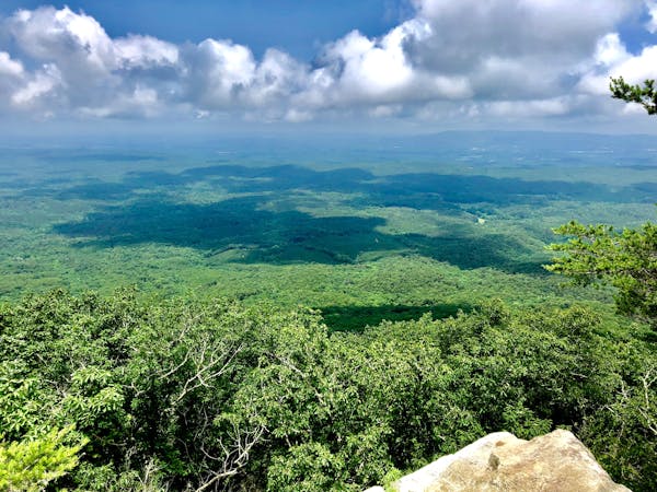
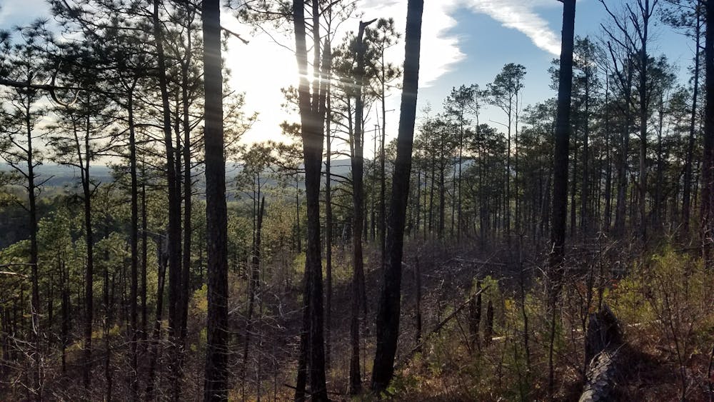
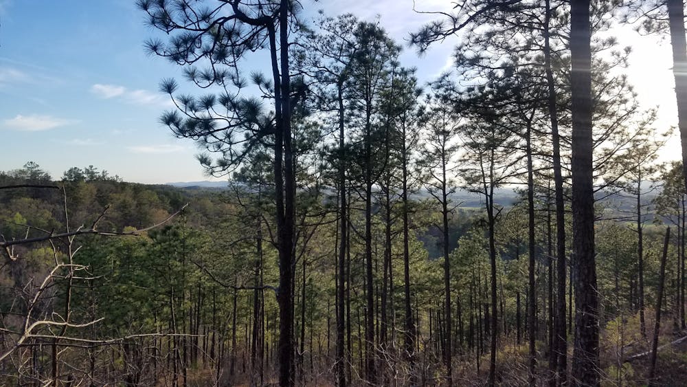
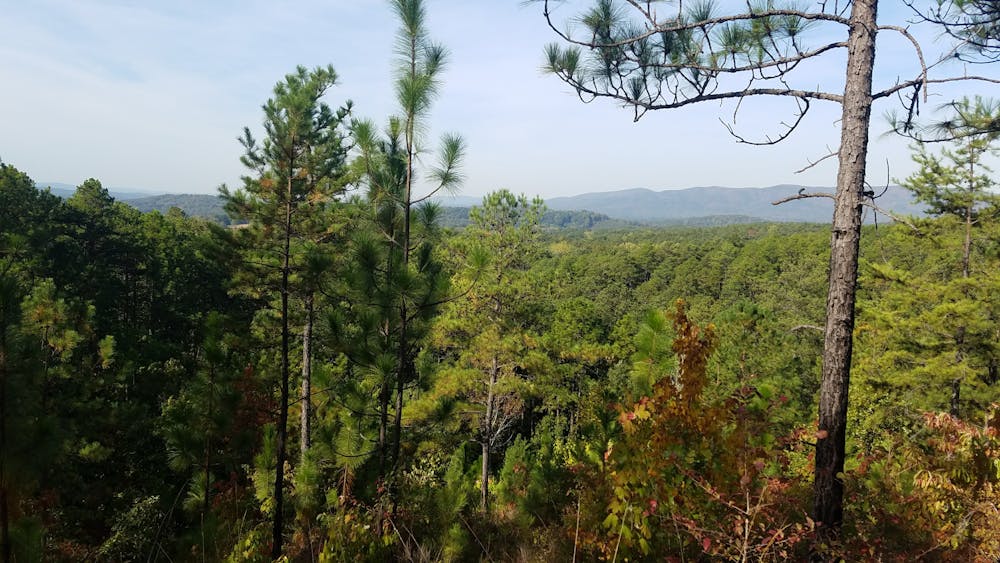
As the trail heads north, it passes a series of partial overlooks to the west. This portion of trail is particularly spectacular in the fall and winter months as the trees begin to change colors before offering winter views through their bare branches. Nearby Anniston and Oxford present themselves in the distance.
Past the views, you'll begin to notice the trail spiral around hilly contours more than it has before. At times, it can become disorienting and easy to forget which way is north. Roughly eight miles north of the FS-500 Trailhead, you'll cross into Beech Gorge, where two streams merge together. Less than a mile downstream, you'll enter Lower Shoal Canyon and an adjacent shelter that serves as a perfect overnight camping opportunity.
Approaching FS-531, you'll cross Eagle Bridge, "an Eagle Scout project with some planning and physical support from the Appalachian Trail Club of Alabama and financial support from Wal-Mart," according to the Pinhoti Trail Alliance.
Further north, the trail spirals, passing a serene lake and open meadow before running into the Ping Glen Campground. Another excellent access point, this trailhead has vault toilets as well as multiple campsites that are available year round. An iconic 100-mile trail run that takes place every fall on the Pinhoti begins here and traverses south to the city of Sylacauga.
The trail begins to intermingle with a series of horse trails and forest roads as it skirts the shore of Coleman Lake, another Recreation Area and Campground. Alternatively, a small trailhead can be found along the road.
The final portion of this segment winds in and out of coves and points, eventually crossing over the dam of a small pond. Cross Rabbittown Road to finish the hike. At the trail junction, stay right to continue north on the Pinhoti. Take the left and travel less than 100 yards to end a section or day hike at Burns Trailhead.
Sources: http://www.pinhotitrailalliance.org/section-9..html http://www.pinhotitrailalliance.org/section-10.html
Difficult
Hiking trails where obstacles such as rocks or roots are prevalent. Some obstacles can require care to step over or around. At times, the trail can be worn and eroded. The grade of the trail is generally quite steep, and can often lead to strenuous hiking.

The trail contains some obstacles such as outcroppings and rock which could cause injury.

Little chance of being seen or helped in case of an accident.
10 routes · Hiking