204 m away
Bonanza Mine Trail
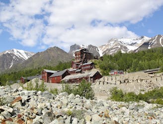
Climb to a historic mine located thousands of vertical feet above the town of Kennecott.
Difficult Hiking
- Distance
- 13 km
- Ascent
- 1.2 km
- Descent
- 1.2 km
One of Alaska's most incredible easy-to-access hikes!
Hiking Moderate

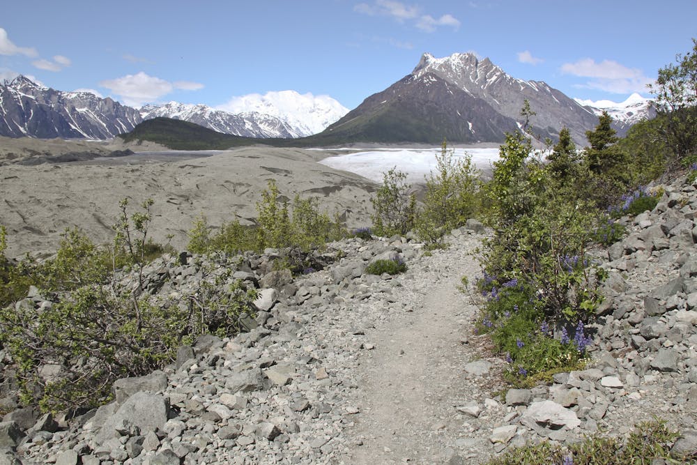
Only in Alaska does the main street of a small town naturally transform into a hiking trail… and not just any hiking trail, but one of the most majestic hikes in the United States! The Root Glacier Trail provides stupendous views of the Kennicott and Root Glaciers, with sweeping vistas of the Wrangell Mountains that surround the valley.
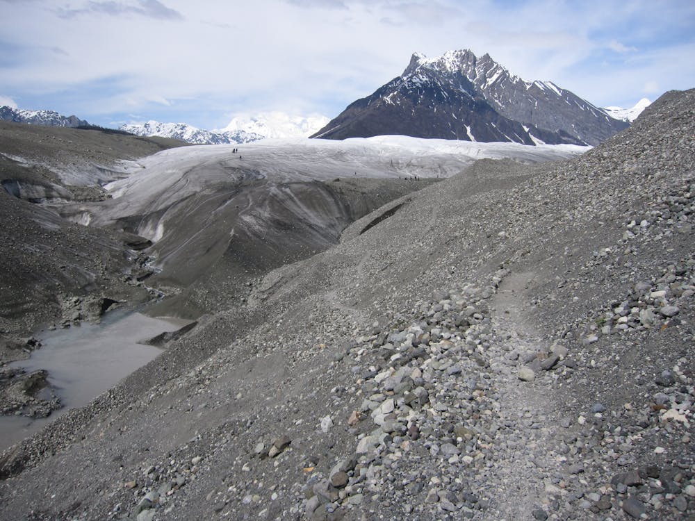
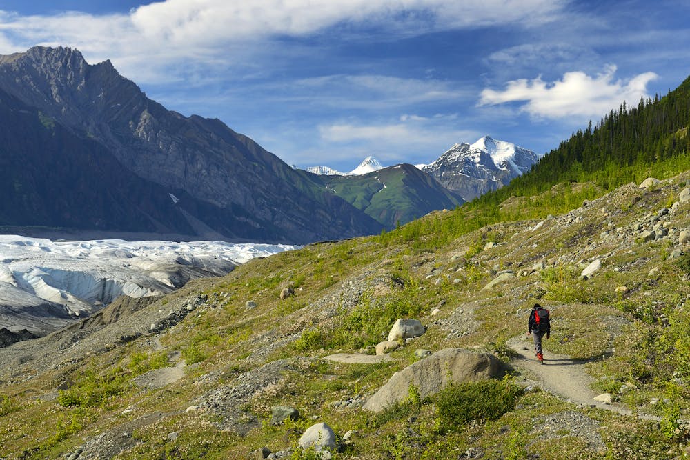
While the views from the hike are second to none, the terrain that you’ll traverse—as long as you stay on the trail itself—is quite easy. The trail is gravelly and quite mellow, only gaining a bit over 2,000 feet in elevation over the course of 9.5 miles. Despite some loose gravel and dirt, you won’t have any serious obstacles to overcome. The most formidable obstacles are the occasional creek crossing, but most hikers will be able to navigate those without a problem.
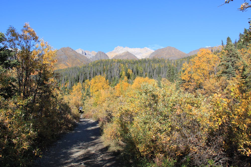
This hike is located in Wrangell-St. Elias National Park and Preserve. Most people may not realize that this is the largest national park in the United States, protecting over 13.2 million acres of land. The park “extends from the ocean to the top of Mount Saint Elias—an area larger than the country of Switzerland,” according to OutdoorProject.com. “Almost the entirety of the Wrangell Mountain Range is situated within the park,” they continue.
The route as mapped here clocks in at 9.5 miles round-trip, but most people only tackle a four-mile round-trip hike. The four-mile round trip version stops at the lower viewpoint of the glacier and is even flatter and more attainable than the full route. The full route as mapped here traverses further up the valley, paralleling the glacier and providing the opportunity to enjoy many different vistas—not simply just one photo opportunity from the bottom.
There are also a couple of spur trails for different hiking options, and you can even use this trail to drop down onto the glaciers themselves. Note that if you do drop onto the glacier, you’ll encounter true glacier travel that requires crampons, safety equipment, and the appropriate knowledge.
Sources: https://www.nps.gov/wrst/planyourvisit/upload/Root%20Glacier%20Update%2012-2.pdf https://www.alaska.org/detail/root-glacier-trail https://parksexpert.com/root-glacier-trail/ https://www.outdoorproject.com/united-states/alaska/root-glacier-trail
Moderate
Hiking along trails with some uneven terrain and small hills. Small rocks and roots may be present.

The trail contains some obstacles such as outcroppings and rock which could cause injury.

Little chance of being seen or helped in case of an accident.
204 m away
Climb to a historic mine located thousands of vertical feet above the town of Kennecott.
Difficult Hiking
6.6 km away

A mellow hike leading to beautiful glacier views!
Easy Hiking

25 routes · Alpine Climbing · Hiking

5 routes · Hiking

63 routes · Alpine Climbing · Hiking