FATMAP by Strava

The "Arctic Circle" Route

A packrafting loop connecting two rivers and crossing seven alpine passes, circling the famous Arrigetch Peaks of the Brooks Range.

Hiking Extreme

Distance
174 km
Ascent
5.5 km
Descent
5.5 km
Duration
1 day +
Low Point
228 m
High Point
1.4 km
Gradient
13˚
The "Arctic Circle" Route Map

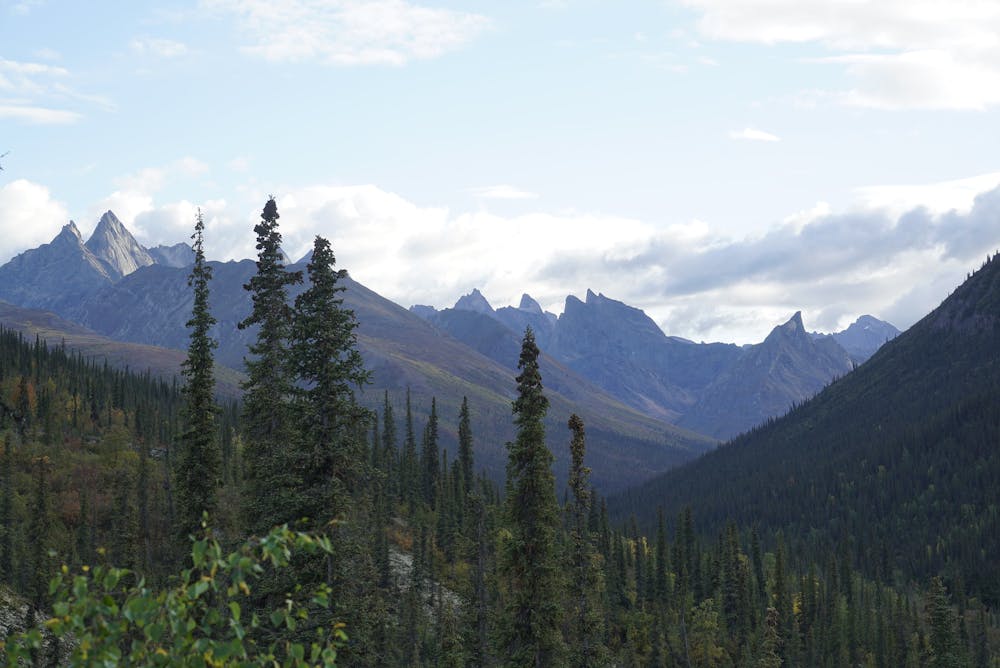
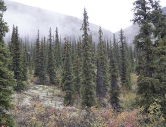
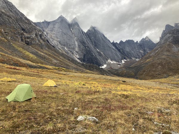
Credit for the “Arctic Circle” route goes to Roman Dial, who first completed it in 2003 and describes it on his website The Roaming Dials. He calls this journey “a week-long, hundred-mile, wilderness kaleidoscope.” It involves whitewater packrafting, tundra hiking, exposed scrambling, and a glacier crossing––all with constant difficulties of arctic weather, grizzly bear safety, backcountry navigation, and complete self reliance. The track mapped here is for planning purposes only, and cannot ensure accurate routefinding due to complex and changing nature of the terrain. This is an expert-level trip in every sense of physical, technical, and logistical difficulty.

Description

Difficulty

Extreme

Scrambling up mountains and along technical trails with moderate fall exposure. Handholds are necessary to navigate the trail in its entirety, although they are not necessary at all times. Some obstacles can be very large and difficult to navigate, and the grades can often be near-vertical. The challenge of the trail and the steepness of the grade results in very strenuous hiking. Hikes of this difficulty blur the lines between "hiking" and "climbing".

High Exposure

3 out of 4

Some trail sections have exposed ledges or steep ascents/descents where falling could cause serious injury.

Remoteness

4 out of 4

In the high mountains or remote conditions, all individuals must be completely autonomous in every situation.

Best time to visit

between June and September

Features

  • Alpine
  • Wildlife
  • Picturesque
  • Water features
  • Forestry or heavy vegetation

Similar routes nearby

Guidebooks in this area