5 routes · Mountain Biking
An epic 38-mile point-to-point backcountry trail.
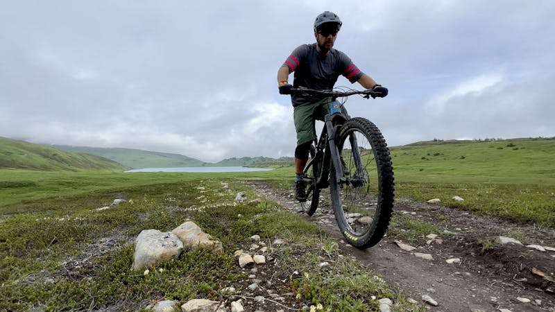
Mountain Biking Difficult

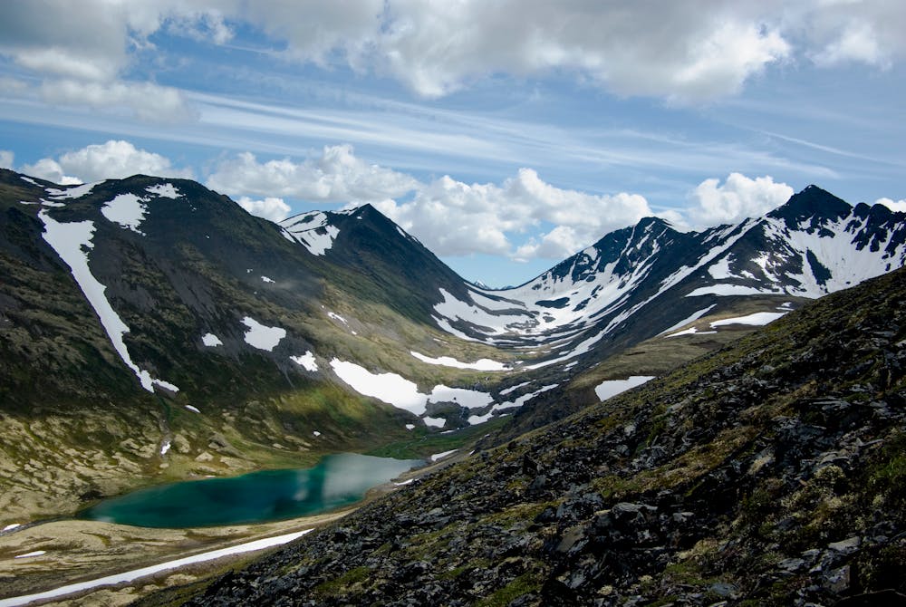
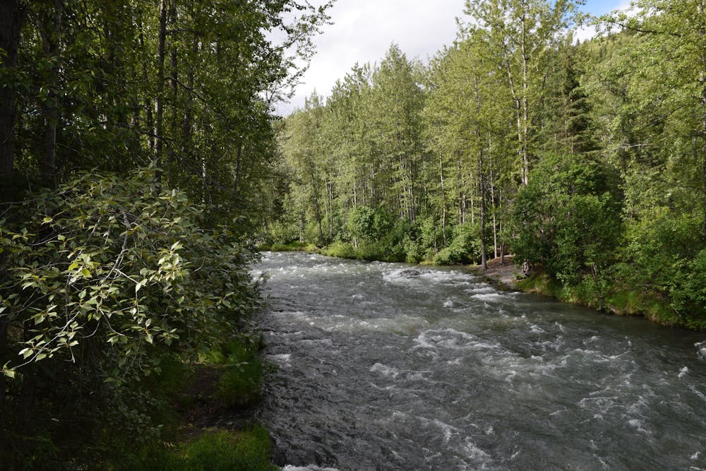
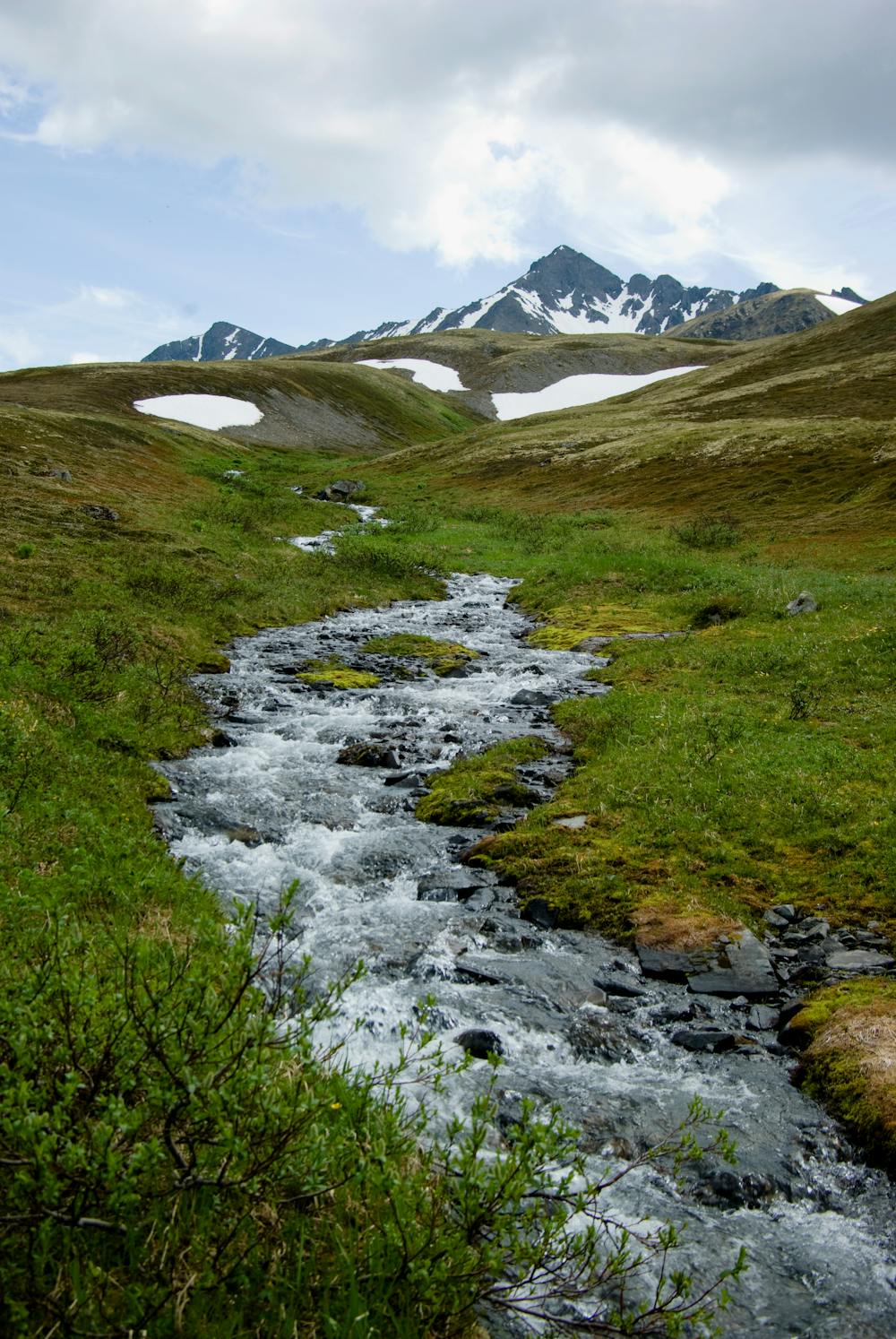
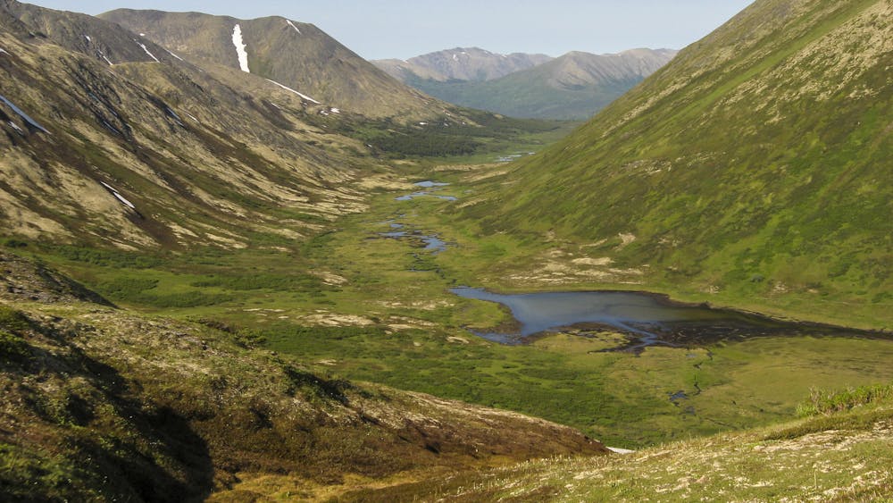
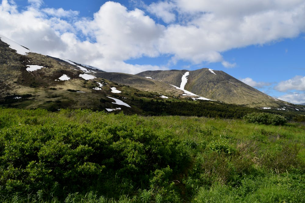
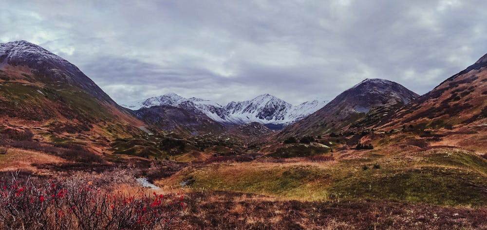
Resurrection Pass is a classic backcountry point-to-point trail on the Kenai Peninsula running ~38 miles from just outside the town of Hope to Sterling Highway and the Kenai River. This epic trail crosses a majestic alpine pass high in the mountains. Along the way, it passes crystal-clear lakes and rushing streams, and it provides endless views of mountain peaks. While this is a full-commitment backcountry trek, the reward is well worth the effort.
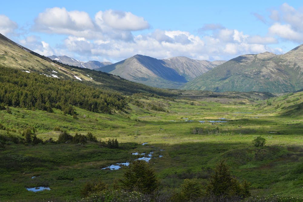
The ease of access to both ends of this trail makes it a popular point-to-point ride. You can easily set up a self-shuttle with a pair of cars and traverse this majestic mountain range. How long you take is entirely up to you. Some riders will attempt the crossing in a single day, but others will opt to turn it into an overnight bikepacking trip. This is a popular backpacking route as well, so you'll find numerous established campsites along the way.
This is bear country, so be bear aware, come prepared with bear spray, and practice all Leave No Trace and bear safety guidelines.
Difficult
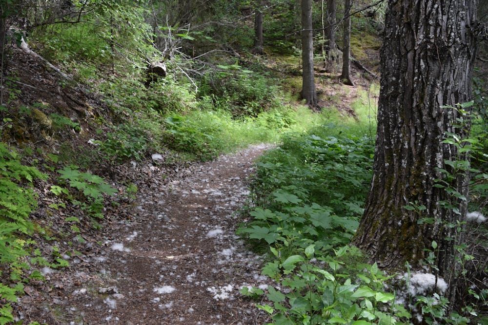
Mostly stable trail tread with some variability featuring larger and more unavoidable obstacles that may include, but not be limited to: bigger stones, roots, steps, and narrow curves. Compared to lower intermediate, technical difficulty is more advanced and grades of slopes are steeper. Ideal for upper intermediate riders.

The trail contains some obstacles such as outcroppings and rock which could cause injury.

In the high mountains or remote conditions, all individuals must be completely autonomous in every situation.
5 routes · Mountain Biking