1.9 km away
Tony Knowles Coastal Trail
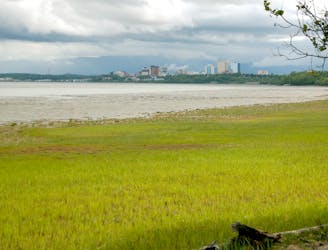
A paved path along the forested shoreline of Anchorage, linking public parks and other trails, granting many options for a scenic ride in the city.
Easy Road Biking
- Distance
- 16 km
- Ascent
- 377 m
- Descent
- 326 m
A paved path in a corridor of green, right through the middle of Anchorage.
Road Biking Easy

Chester Creek is the central artery of the city's multi-use trail network. It is not only convenient for exercise and scenery, but also crucial for bike and foot commuters. Whether on a short stroll or a long ride, you can use Chester Creek on its own or to link up a longer route through the city. The trail is open year round, and in the winter it's tracked for Nordic skiing and fat-tire biking.
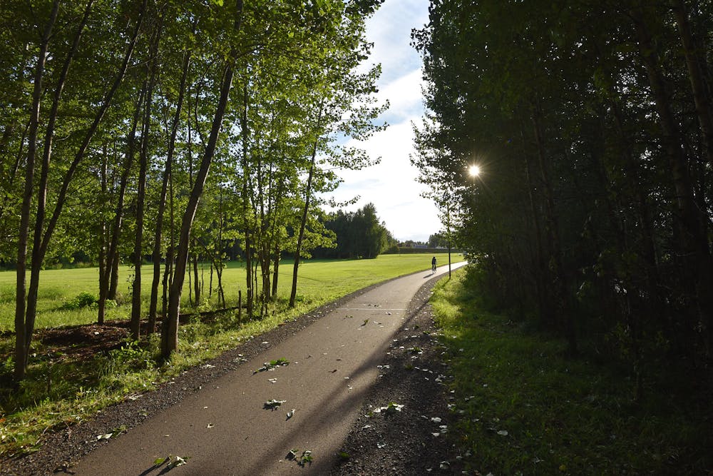
Here the trail is mapped one-way from west to east, in accordance with the mile markers placed along the way. The western end connects with the Coastal Trail at Westchester Lagoon, and the eastern end connects with other paths near Goose Lake and the university campus.
Easy

Close to help in case of emergency.
1.9 km away
A paved path along the forested shoreline of Anchorage, linking public parks and other trails, granting many options for a scenic ride in the city.
Easy Road Biking
9.4 km away
Take a quick ride to see the beautiful views from Kincaid Beach.
Easy Road Biking
10 routes · Gravel Biking · Hiking · Road Biking
4 routes · Mountain Biking · Hiking · Road Biking