Patagonia 50
A fantastic 50-mile gravel ride through beautiful terrain, running all the way to the Mexican border.
Difficult Gravel Biking
- Distance
- 81 km
- Ascent
- 996 m
- Descent
- 996 m
A fantastic 30-mile gravel lollipop ride through beautiful terrain.
Gravel Biking Difficult

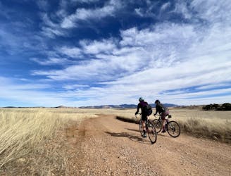
Patagonia, Arizona, is quickly becoming known as a gravel biking mecca, and the Patagonia 30 route, departing directly from "downtown," is one of the most approachable yet rewarding rides in the area.
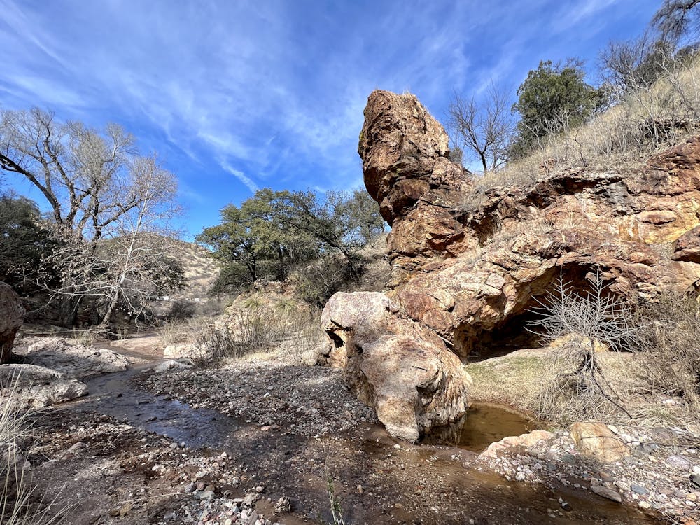
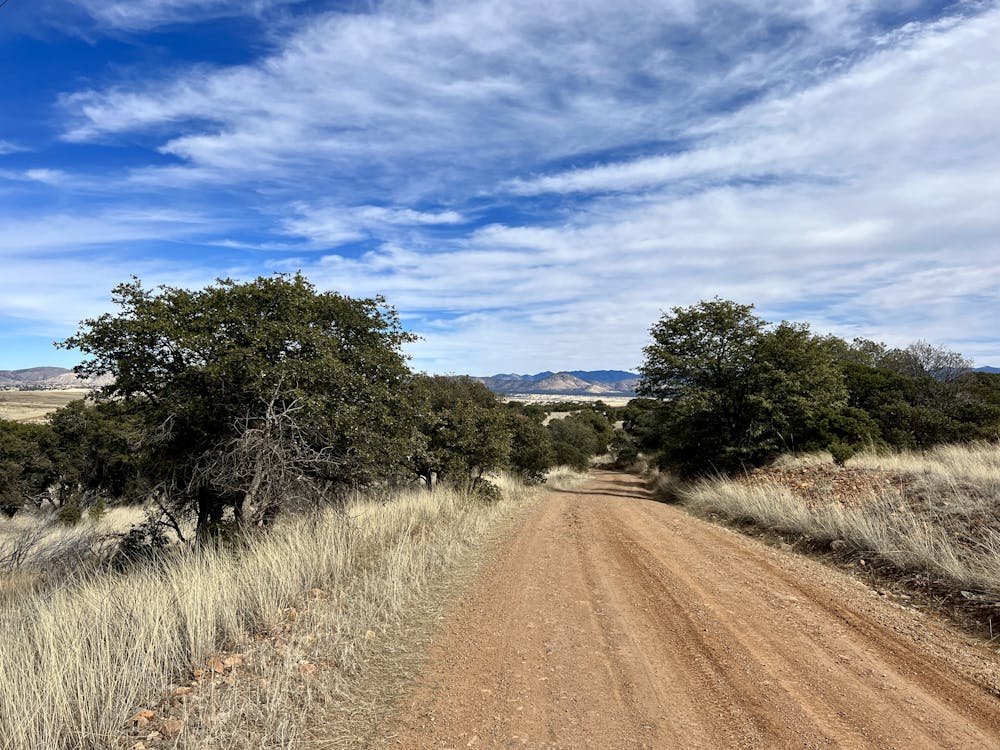
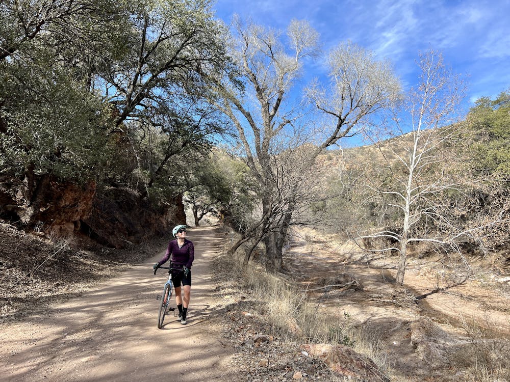
The route begins by climbing up Harshaw Canyon Road and then takes a left onto Harshaw Creek Road to follow a gravel lollipop stem up to the loop portion of the route. While you can make a logical loop by staying straight on the pavement, the lollipop stem section going up the gravel road is one of the highlights of the entire ride and is well worth doing twice! This beautiful canyon features rugged rock cliffs, and massive, gnarly old trees, all accessed via a narrow gravel road.
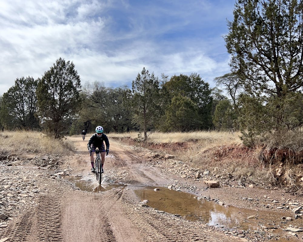
At the T junction at the top, take a right turn to begin the loop. Soon, you'll rejoin the pavement and pedal uphill for a bit before switching back to gravel. At the time of this writing in 2023, this section of the road is heavily traveled by mining and drilling trucks until you pass the mining operation. Proceed with caution, as you may encounter heavy machinery.
Thankfully, after passing the mine, most of the traffic diminishes, and you'll soon top out at a high point of over 5,500 feet—pretty incredible for this area of Arizona!
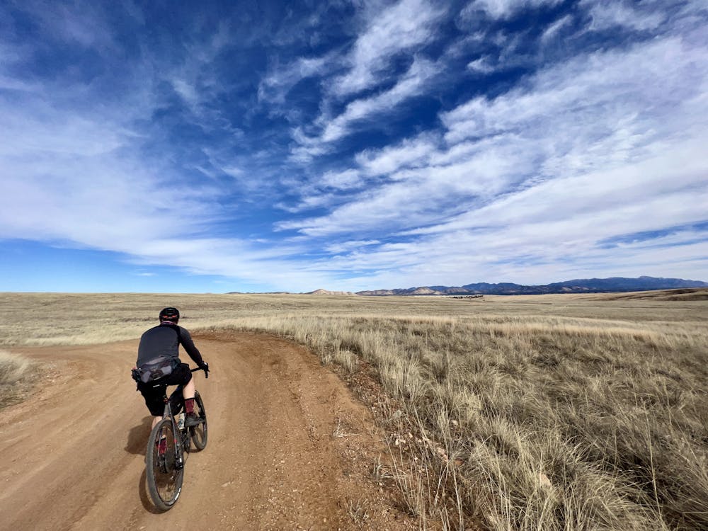
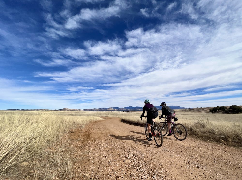
After taking a left turn onto Apache Road, you'll leave the trees behind and pedal out into wide-open high-elevation grasslands, which provide incredible long-range views of the surrounding mountains and the more formidable peaks across Mexican border. At this point, you're only about 5 or 6 miles as the crow flies from the Mexican border. If you were to pedal the classic Patagonia 50 loop, you'd almost reach the border itself!
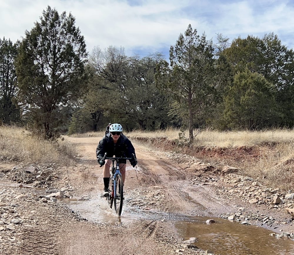
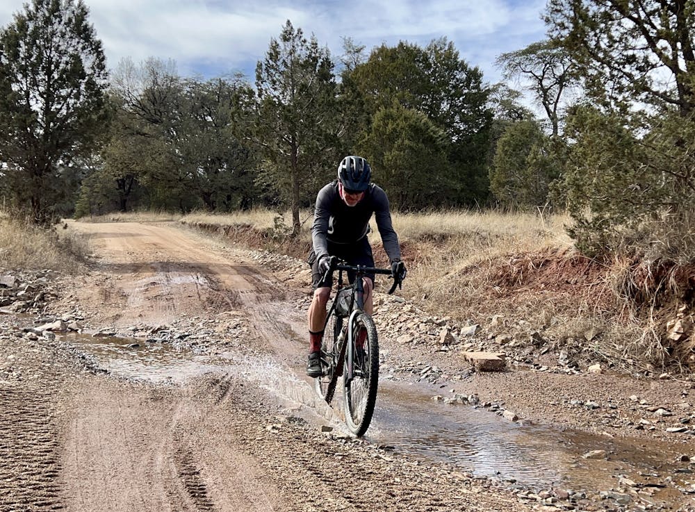
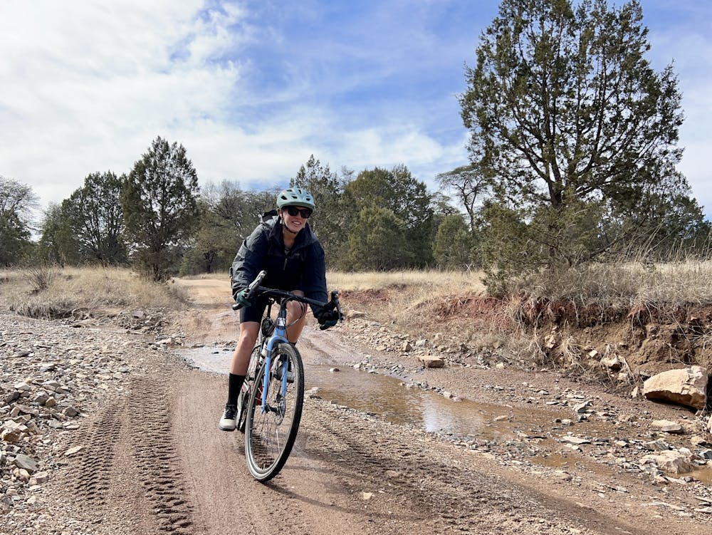
Apache Road can be a bit rough in places, and there are a few small stream crossings. Also, this road and some of the other higher-elevation roads can get thick with mud after rain. If it's rained recently, allow several days for these roads to dry, or just avoid them entirely.
The downhill begins accelerating through here, but make sure to watch out for a couple of turns. A wrong turn in this area will take you many miles the wrong way.
The final stretch of the ride finishes on the same superb stem section along Harshaw Creek. Enjoy this rolling descent because it's all over way too soon! But once you're done, you can enjoy a well-deserved brew at Patagonia Lumber Co.
Difficult

Little chance of being seen or helped in case of an accident.
A fantastic 50-mile gravel ride through beautiful terrain, running all the way to the Mexican border.
Difficult Gravel Biking