Patagonia 30
A fantastic 30-mile gravel lollipop ride through beautiful terrain.
Difficult Gravel Biking
- Distance
- 49 km
- Ascent
- 642 m
- Descent
- 642 m
A fantastic 50-mile gravel ride through beautiful terrain, running all the way to the Mexican border.
Gravel Biking Difficult

Patagonia, Arizona, is quickly becoming known as a gravel biking mecca, and the Patagonia 50 route, departing directly from "downtown," is one of the most rewarding rides in the area.
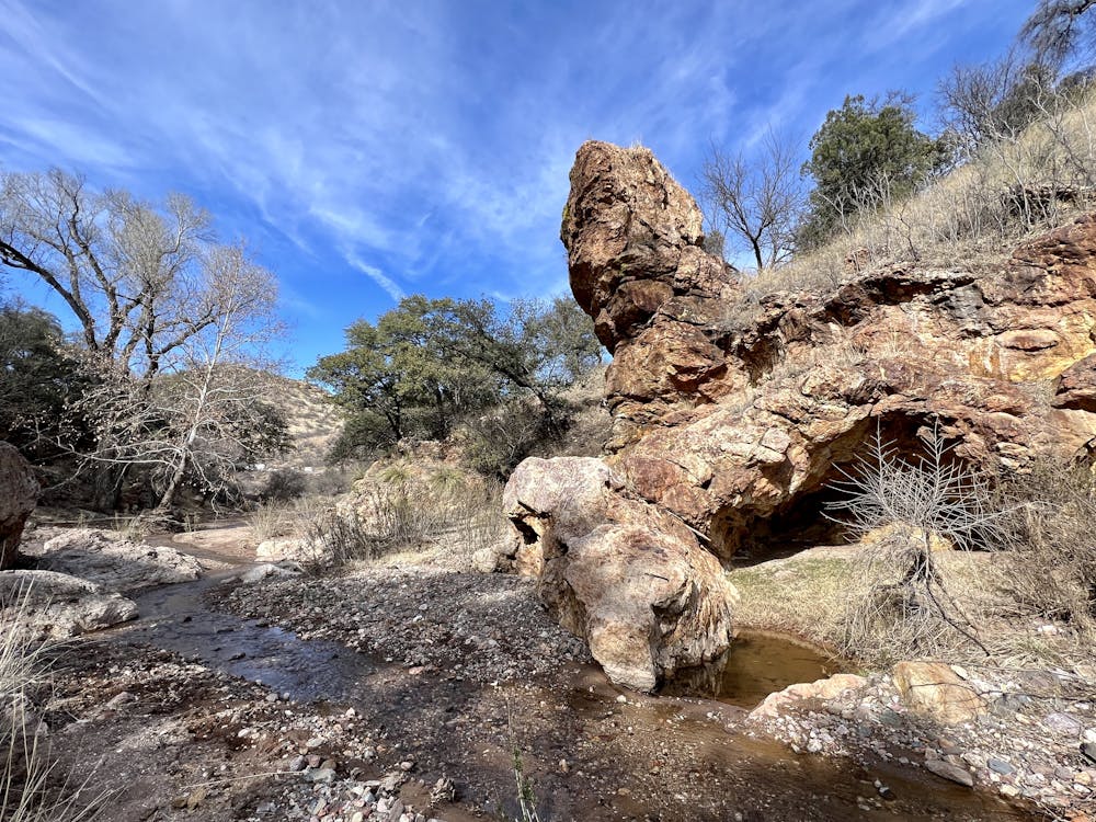
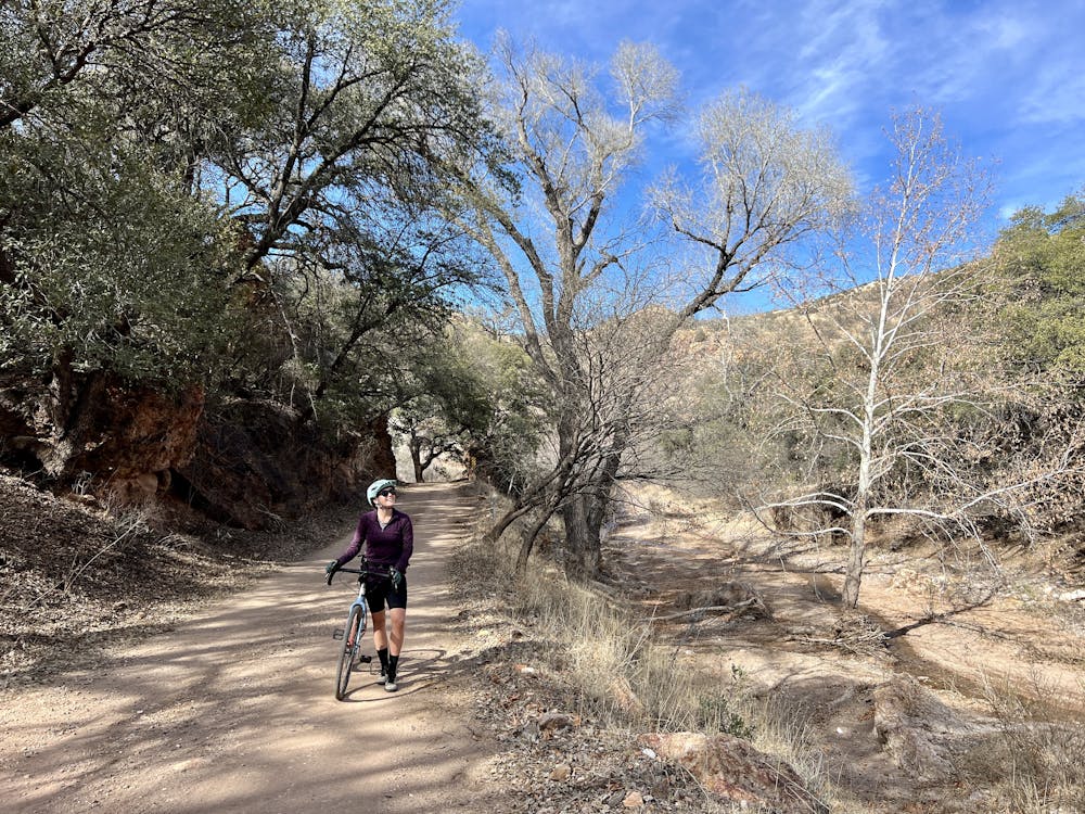
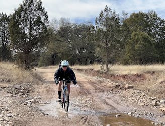
The route begins by climbing up Harshaw Canyon Road and then takes a left onto Harshaw Creek Road to follow a gravel lollipop stem up to the loop portion of the route. While you can make a logical loop by staying straight on the pavement, the lollipop stem section going up the gravel road is one of the highlights of the entire ride and is well worth doing twice! This beautiful canyon features rugged rock cliffs, and massive, gnarly old trees, all accessed via a narrow gravel road.
At the T junction at the top, take a right turn to begin the loop. Soon, you'll rejoin the pavement and pedal uphill for a bit before switching back to gravel. At the time of this writing in 2023, this section of the road is heavily traveled by mining and drilling trucks until you pass the mining operation. Proceed with caution, as you may encounter heavy machinery.
Thankfully, after passing the mine, most of the traffic diminishes, and you'll soon top out at a high point of over 5,500 feet—pretty incredible for this area of Arizona!
After passing the highpoint, you'll enjoy a rolling descent into the San Rafael Valley and Lochiel, which is the southernmost point of the route, located "just a few hundred yards from the Mexican border," according to DirtyFreehub.
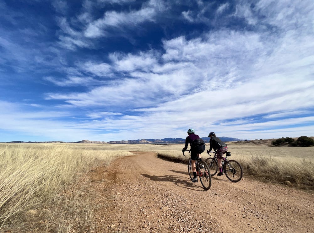
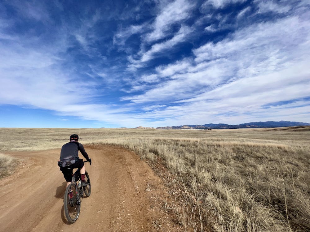
The next major section of the ride swings back north through the expansive San Rafael Valley. This incredible area is an expansive 90,000-acre high intermontane grass valley that represents "one of the finest stands of native grassland in the State," according to Arizona State Parks. "These grasslands have not suffered the problems of shrubs and cactus invasion nor have they been taken over by exotic plant species that affect so much of this vegetation type elsewhere in the State and the Southwest," they continue.
The riding through this area is superb, but do note that the roads in the valley can get thick with mud after rain. If it's rained recently, allow several days for these roads to dry, or just avoid them entirely.
After many miles of rolling pedaling through the San Rafael Valley, you'll crest a knob just above Corral Canyon, marking the beginning of the final descent of the ride. Gear up and get ready to rail through some beautiful, yet slightly rough, dirt roads.
The final stretch of the route finishes on the same superb stem section along Harshaw Creek. Enjoy this rolling descent because it's all over way too soon! But once you're done, you can enjoy a well-deserved brew at Patagonia Lumber Co.
Difficult

Little chance of being seen or helped in case of an accident.
A fantastic 30-mile gravel lollipop ride through beautiful terrain.
Difficult Gravel Biking