63 m away
Honeybee Canyon Loop
A surprising canyon with a historic dam in the heart of Oro Valley.
Easy Hiking
- Distance
- 2.6 km
- Ascent
- 53 m
- Descent
- 53 m
Discover an exciting dose of native history on this hike!
Hiking Easy

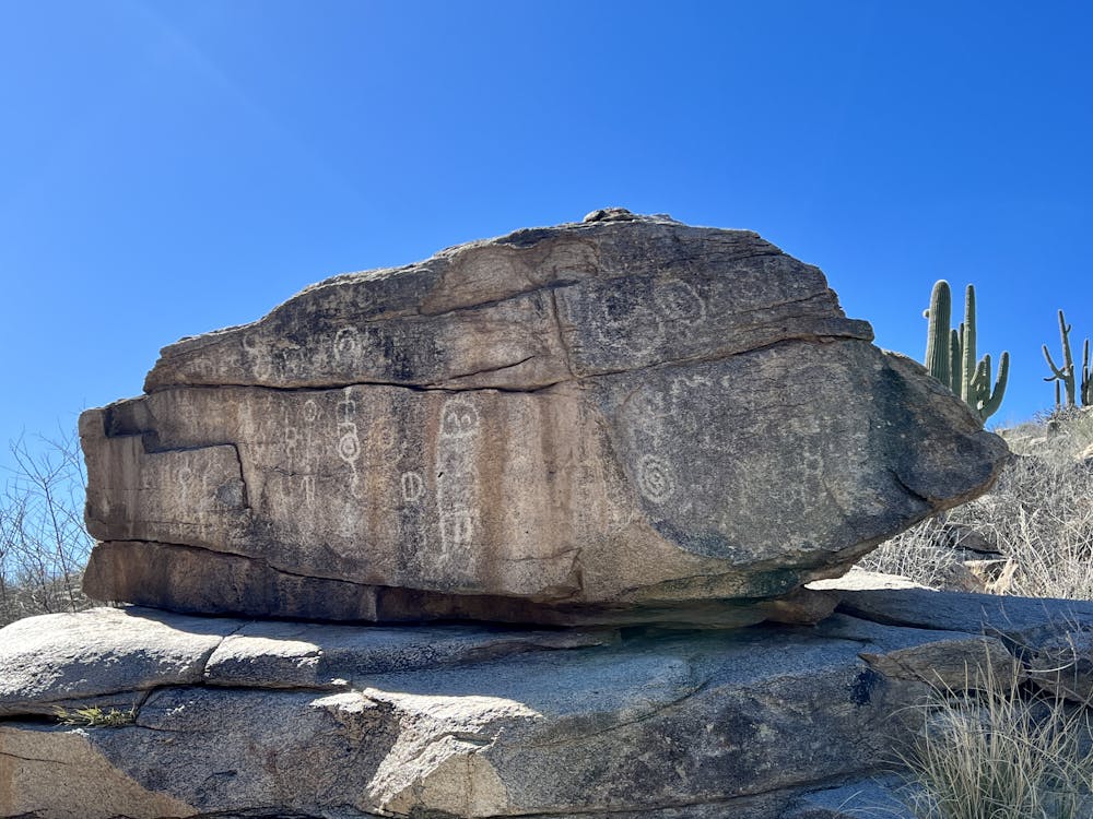
The region comprising the Tortolita Mountains and their eastern foothills has a long history of ancient human habitation. "The Native American people known as the Hohokam occupied this area for approximately 700 years beginning around AD 500," according to Wikipedia. While the ruins of an ancient village are located nearby, you can also discover incredible petroglyphs and remnants of this ancient civilization in many places throughout the surrounding desert. One of the best petroglyph panels is found up Sausalito Creek.
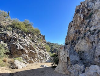
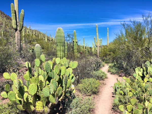
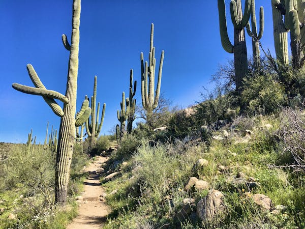
This hike begins from the Honeybee Canyon parking lot, and if you haven't hiked it before, you should definitely add on the 1.6-mile loop that visits the old stone dam and the canyon itself (mapped separately). But for the excursion highlighted here, the petroglyphs are the goal!
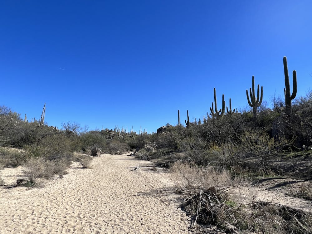
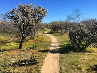
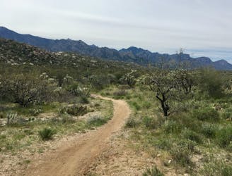
The hike drops down the hill, loops under the bridge, and then follows the sandy bottom of Sausalito Creek. The hiking is easy and non-technical the entire way, but the soft sand can make the going slow in places. Depending on how much moisture the desert has received, the creek can also flow, especially in the winter, springtime, and during monsoon season in mid-summer.
Just over 1 mile into the hike, look for the petroglyph panel on a rock on the left side of the wash. These petroglyphs are vibrant and intriguing, and even though nobody knows precisely what they mean, it's fun to guess what they're supposed to depict.
Whatever you do, make sure you do not touch the petroglyphs or the rock, and leave them exactly as they are. Do not touch, do not modify, and don't leave any additional markings.
If you haven't had enough hiking yet, you can continue further up the wash and see a small dam that was built across the stream. Since its construction, the back side of the dam has entirely filled up with sand that was pushed down the wash over the years.
Here the well-trod trail ends, although if you care to continue, Sausalito Creek runs north for many, many miles!
Once done, retrace your steps back down the creek to return to your car.
Sources: https://en.wikipedia.org/wiki/TortolitaMountains https://localwiki.org/tucson/HoneyBeeCanyon
Easy
Walking along a well-kept trail that’s mostly flat. No obstacles are present.

The path is on completely flat land and potential injury is limited to falling over.
Close to help in case of emergency.
63 m away
A surprising canyon with a historic dam in the heart of Oro Valley.
Easy Hiking
2.1 km away
An ultra-smooth, flat hike through the desert.
Easy Hiking
6.3 km away
Hike one of Tucson's most renowned stretches of singletrack.
Difficult Hiking
6.4 km away
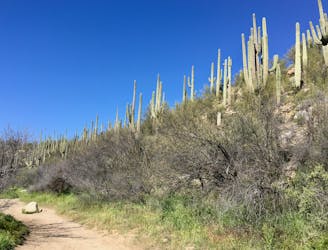
An ultra-popular loop hike with beautiful stream crossings and towering saguaro cacti.
Easy Hiking
6.4 km away
Hike to a seasonal collection of beautiful pools and waterfalls.
Difficult Hiking
6.4 km away
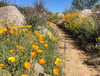
Experience the brilliance of poppies in the springtime on the Sutherland Trail.
Moderate Hiking
10 routes · Hiking
4 routes · Hiking