7.6 km away
Fatman's Loop Trail
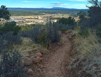
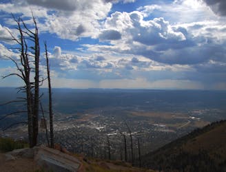
A classic and moderately-easy hike just along the base of Mount Elden.
Moderate Hiking
- Distance
- 3.9 km
- Ascent
- 182 m
- Descent
- 182 m
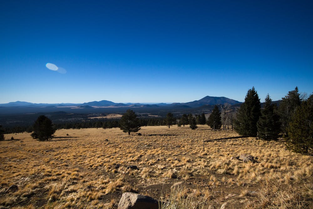
A classic hike through canyons and along hillsides with spectacular views of Flagstaff.
Hiking Moderate

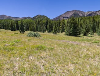
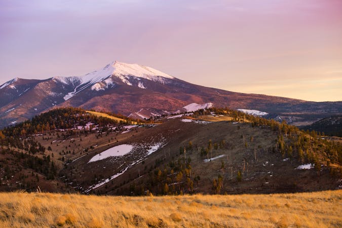
Considered one of the more popular trails near Flagstaff according to the USFS, the Kachina Trail tours aspen groves, dramatic cliffs, rolling meadows, and even offers impressive views of Flagstaff to the south. It's almost exclusively located within the confines of a wilderness area, making it an excellent opportunity to enjoy the wild and vast San Francisco Peaks without the crowds. While sometimes hiked as an out-and-back, this route connects Schultz Tank to the Snow Bowl, making it a perfect option for a shuttle if you have two vehicles.
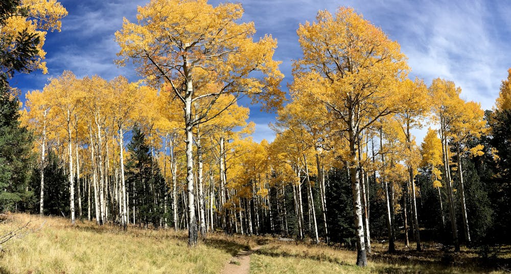
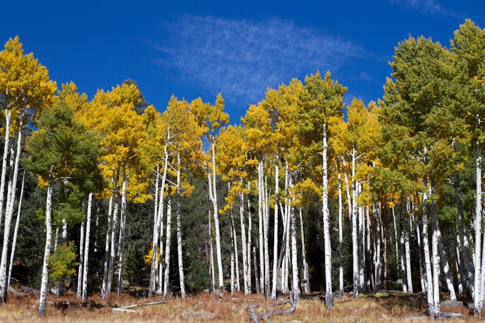
Touring the southern slopes of Agassive Peak, the Kachina Trail is defined by old-growth limber pine and Douglas-firs at the highest elevations, with ponderosa, aspen, and juniper defining the mountain's main slopes. Seas of bracken fern paint the hillsides green and the mountain's volcanic past is clearly visible as the trail descends a high lava cliff. According to the USFS, "a dramatic, cave-like recess in the lava marks where a bed of looser volcanic debris eroded away from denser flow layers above," and the andesite boulders near the trail's upper end found their resting site nearly 600,000 years ago.
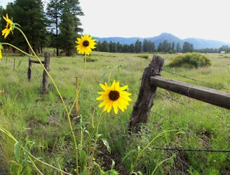
In addition to the diversity of flora and fauna, elk, mule deer, and cougars all reside in the area, though the latter are rarely seen to their nocturnal habits. Black bears also favor wild edibles such as berries that appear during summer's peak. While best hiked from May to November, hunters sometimes utilize the trail during their respective seasons, though mechanized use, including bikes, is prohibited within the confines of the wilderness.
Source: https://www.fs.usda.gov/recarea/coconino/recarea/?recid=55112
Moderate
Hiking along trails with some uneven terrain and small hills. Small rocks and roots may be present.

The trail contains some obstacles such as outcroppings and rock which could cause injury.

Little chance of being seen or helped in case of an accident.
7.6 km away
A classic and moderately-easy hike just along the base of Mount Elden.
Moderate Hiking
7.6 km away
A classic hike in Flagstaff with breathtaking views and incredibly diverse plant life.
Difficult Hiking
7.8 km away
A classic hike from the Lockett Meadow Campground perfect for anyone in the family.
Moderate Hiking
8.5 km away
Hike amongst ancient pinyon and juniper trees at the base of a former cinder cone volcano.
Moderate Hiking
9.2 km away
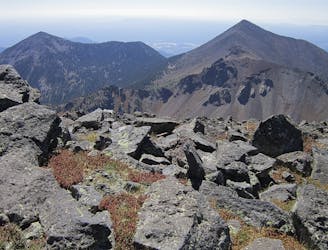
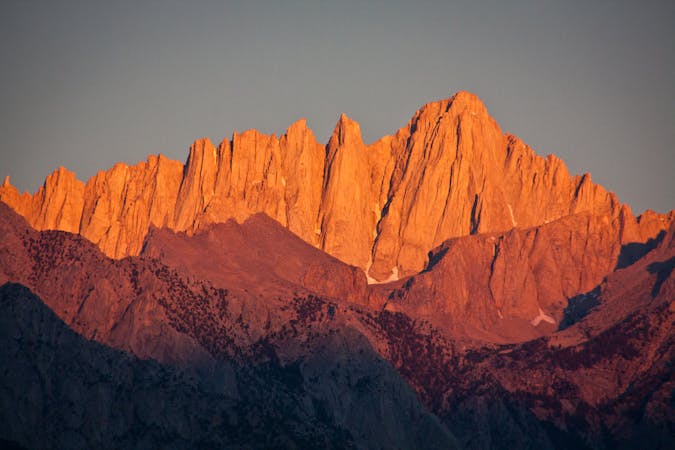
Hike to the highpoint of Arizona, over alpine tundra among a huge panorama that includes the Grand Canyon on the horizon.
Difficult Hiking
10 routes · Alpine Climbing · Hiking
10 routes · Hiking