23 m away
The Flatiron via the Siphon Draw Trail
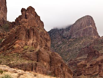
Climb to one of the best views in the Superstitions, up a steep canyon with rock scrambling required.
Severe Hiking
- Distance
- 8.6 km
- Ascent
- 796 m
- Descent
- 796 m
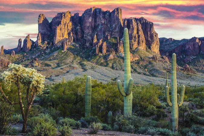
One of the most difficult day hikes in Arizona
Hiking Severe

This is a popular hiking route which is generally considered to be severe. It's very remote, it features high exposure and is typically done between September and May. From a low point of 632 m to the maximum altitude of 1.5 km, the route covers 17 km, 1242 vertical metres of ascent and 1205 vertical metres of descent.
Extreme ascend, rough rocky trail with multiple boulder scrambles, and wall climbs. 12.1 Miles on Garmin.
Severe
Hiking challenging trails where simple scrambling, with the occasional use of the hands, is a distinct possibility. The trails are often filled with all manner of obstacles both small and large, and the hills are very steep. Obstacles and challenges are often unexpected and can be unpredictable.

Some trail sections have exposed ledges or steep ascents/descents where falling could cause serious injury.
Little chance of being seen or helped in case of an accident.
23 m away
Climb to one of the best views in the Superstitions, up a steep canyon with rock scrambling required.
Severe Hiking
9.9 km away
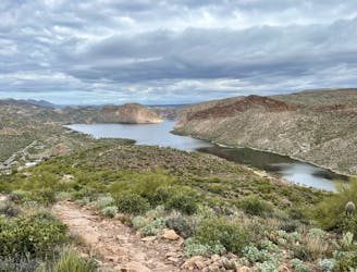
A steep, rocky hike to an incredible view into the Superstition Wilderness.
Difficult Hiking
16 routes · Hiking