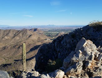
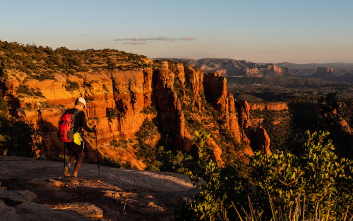
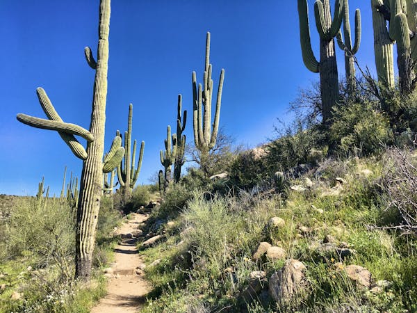
Camelback Mountain via Echo Canyon Trail
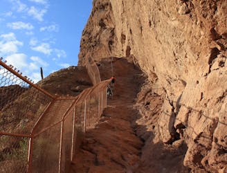
The more adventurous of two trails leading to the best view over Phoenix and Scottsdale
Difficult Hiking
- Distance
- 3.5 km
- Ascent
- 413 m
- Descent
- 413 m
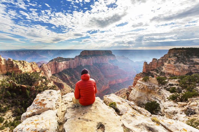
Don't just admire the mountains from inside with the AC, get out there and explore the stunning desert surrounding Metro Phoenix.
Hiking Moderate, Difficult, Severe, Extreme
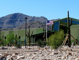
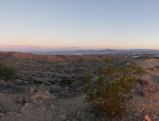
Home to over 4.5 million people, the Phoenix metropolitan area boasts an incredible amount of trail that is often underestimated. Countless preserves and parks blanket the valley including the massive 16,000-acre South Mountain Park, the largest municipal park in the United States. This guidebook showcases some of our favorite hikes around the valley and is sure to have something for everyone.
One of the most popular trailheads on South Mountain lies less than 15 minutes from the airport and Tempe. The Marcos de Niza Trail showcases incredible views to the south and overlooks Ahwatukee from high atop a narrow ridge. By way of National Trail, you can pay a visit to Fat Man’s Pass, “a tight squeeze between rocks, found in a jumble of large boulders with plenty of other nooks and crannies to explore”, according to adventurer Jesse Weber. Should you be short on time, or intimidated by either of those hikes, the Pima East and West Loops never venture too far from the trailhead.
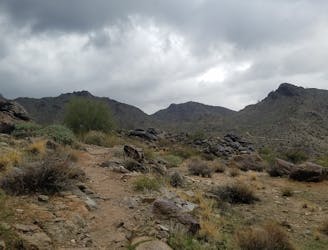
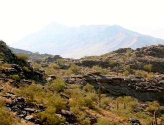
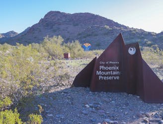
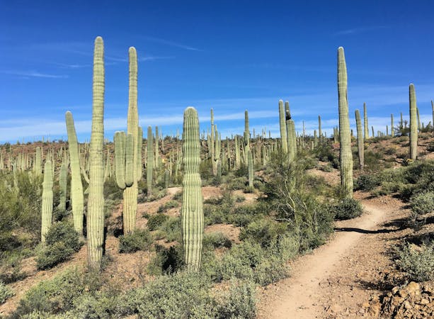
Phoenix Mountains Preserve, nicknamed “PMP” by locals, is located just north of town. Prior to its status as a protected preserve, the area was home to several mines whose remnants can still be found. Rumors of mine entrances have circled through the community, but few people claim to know where they are at. In addition to the Pearl Charles and Freedom Trails, the summit trail to Piestewa Peak provides an intense climb to some of the best views in town. It’s perfect for the entire family and offers commanding views from its perch. Not far away, Camelback Mountain is possibly the most recognized hike in town. Though popular, it’s anything but easy.
West in the valley and within an hour of downtown, you can find White Tank Regional Park. The Mesquite/Willow Canyon loop is an incredible hike showcasing unique and rugged canyons tucked deep in the mountains. Of all the hikes on the list, this is a local favorite due to its remoteness. For an easier hike, explore the Black Rock Loop and Waterfall Trail – a historic hike perfect for the entire family.
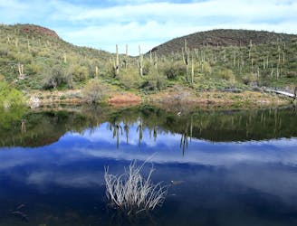
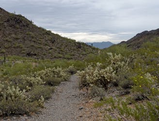
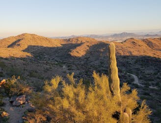
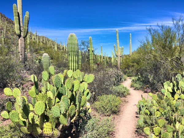
Approaching the 1 hour mark from downtown, a few more classic hikes present themselves. Northwest of town, the Pipeline Canyon Trail to Yavapai Point is an excellent day trip adventurer Jesse Weber describes as “a classically vibrant Sonoran Desert landscape, but with a major splash of additional color in the blue reservoir”. As with most trails in the region, your hike will be accompanied by a wide array of cacti, including massive, weathered saguaro and teddy bear cholla.
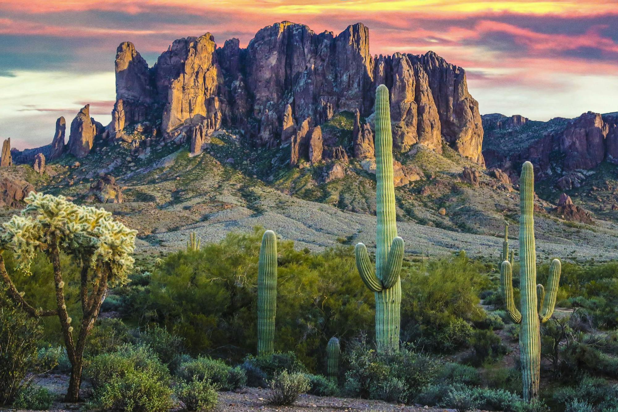
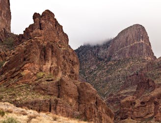
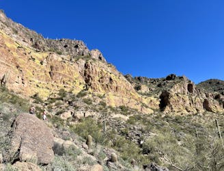
Just east of town, the Superstitions offer even more options for hikers. Siphon Draw to The Flatiron is a steep approach to one of the best views in the range. It’s exposure and lack of water make it one of the most demanding adventures in the range and its best visited in the winter months. A couple ridges over, you can hike the Peralta Canyon Trail to a vista of Weavers Needle. Noted as the most recognizable summits in peaks in the range, this hike offers incredible scenery and a surprisingly lush ecosystem.
The more adventurous of two trails leading to the best view over Phoenix and Scottsdale
Difficult Hiking
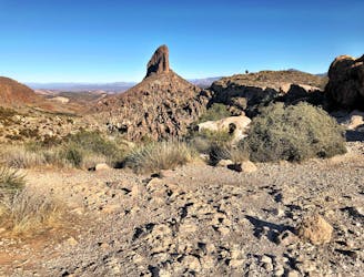
Hike to a view of Weavers Needle, the most recognizable peak in the Superstition Mountains.
Difficult Hiking
A remote and beautiful hike through the rugged White Tank Mountains.
Difficult Hiking
A classic hike with 360-degree views atop Piestewa Peak.
Difficult Hiking
Hike through mountaintop saguaro forest to a natural playground of boulders.
Moderate Hiking
Climb to one of the best views in the Superstitions, up a steep canyon with rock scrambling required.
Severe Hiking
Desert hike with a swimming spot and big vistas in the hills around Lake Pleasant.
Moderate Hiking
A family-friendly hike in White Tank Regional Park with ancient petroglyphs and a rock waterfall.
Moderate Hiking
An intermediate hike beginning at Dreamy Draw Recreation Area.
Moderate Hiking
A short hike around the base of Piestewa Peak.
Moderate Hiking
A short hike originating from the Pima Canyon Trailhead.
Moderate Hiking
A demanding, short hike with incredible views of Ahwatukee.
Difficult Hiking
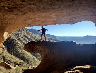
The popular climb to Wind Cave isn't long, but it's rugged and steep!
Severe Hiking

This popular hike leads to a unique rock formation at the summit.
Difficult Hiking

A technical scramble to the top of a spectacular mountain!
Extreme Hiking
A short, popular hike to a unique rock formation.
Difficult Hiking

23 routes · Mountain Biking · Hiking
14 routes · Hiking
14 routes · Hiking
8 routes · Hiking
9 routes · Hiking

14 routes · Hiking

25 routes · Alpine Climbing · Hiking
10 routes · Hiking
4 routes · Hiking
7 routes · Hiking · Trail Running