462 m away
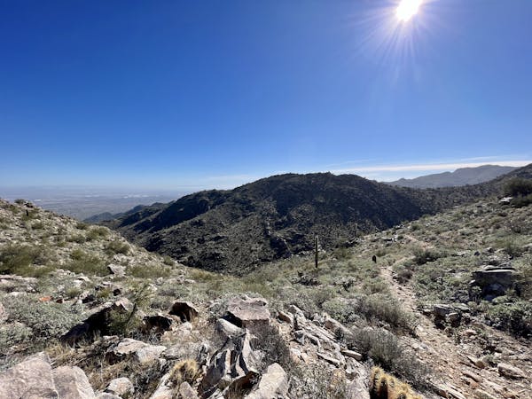
Ford Canyon / Goat Camp Loop
This is arguably the most epic and remote hiking loop near Phoenix.
Severe Hiking
- Distance
- 25 km
- Ascent
- 738 m
- Descent
- 738 m
A family-friendly hike in White Tank Regional Park with ancient petroglyphs and a rock waterfall.
Hiking Moderate

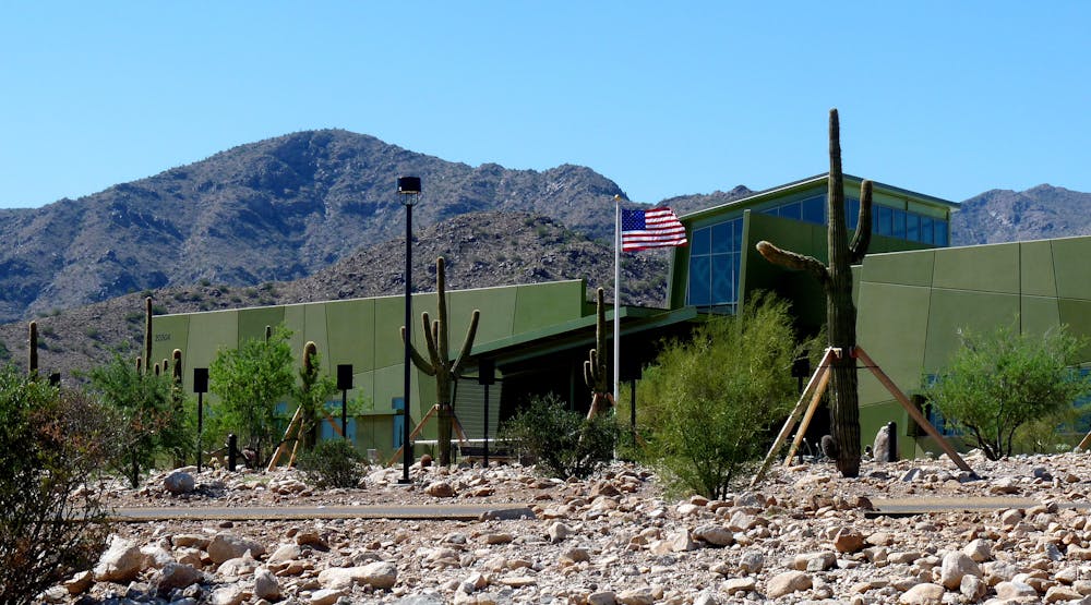
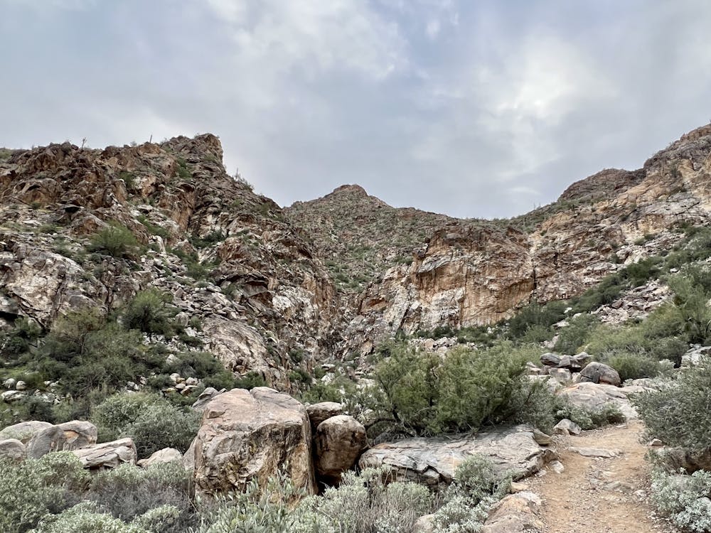
White Tank Regional Park is one of the more rugged and wild hiking areas around the valley. With roughly 30 miles of trail in the park, there's something for everyone. In contrast to to the rest of the park, this route takes you on some of the best-kept trails and is perfect for the entire family.

From the trailhead, follow the Black Rock Long Loop, then spur onto the Waterfall Trail. There isn't a preferred direction to hike the loop and if you're just looking for an even shorter hike, the Black Rock Short Loop is the perfect option.
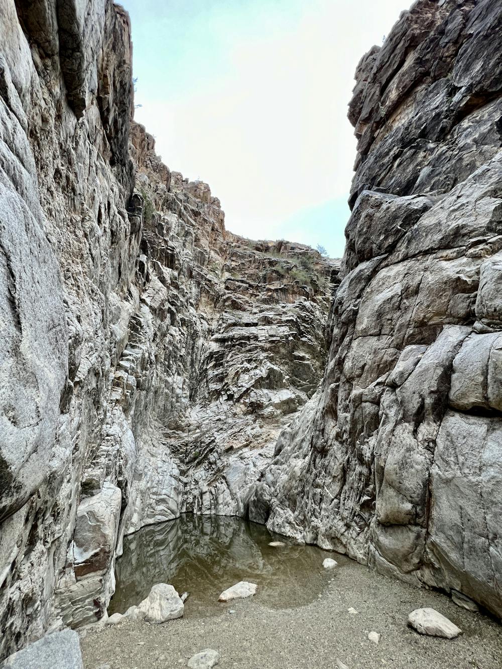
The mountain range earned its name from the "number of depressions or "tanks" in the white granite near the base of the mountains", according to Wikipedia. The namesake waterfall that the trail leads to is actually one of many within the canyon. According to the park, " The pools in the above falls are twice the size of the one you are standing at so it takes a lot of rain over a long period of time to fill these pools in order for the water to flow over the edge. That’s why the waterfall rarely runs."
Along this hike, you will also encounter ancient petroglyphs carved into the rocks. It is estimated that many of them go back several thousand years, though many still speculate about their original purpose.
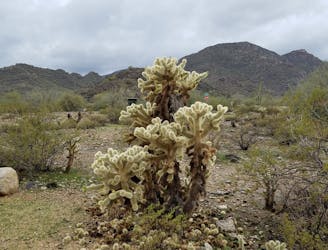
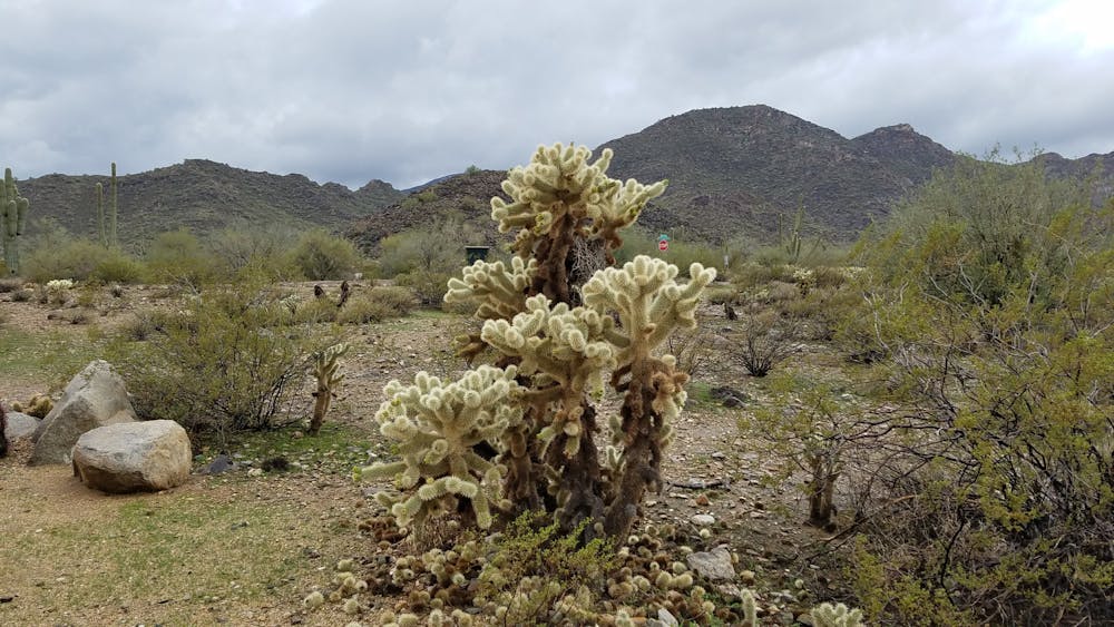
A wide array of cacti are native to the mountain, including saguaro and teddy bear cholla - named for their "fuzzy" appearance. Wildlife, suck as jackrabbits and deer can be found within the park, though they are usually further into the canyons.
Sources: https://en.wikipedia.org/wiki/WhiteTankMountains https://www.maricopacountyparks.net/park-locator/white-tank-mountain-regional-park/park-activities/hiking/
Moderate
Hiking along trails with some uneven terrain and small hills. Small rocks and roots may be present.

The trail contains some obstacles such as outcroppings and rock which could cause injury.

Close to help in case of emergency.
462 m away
This is arguably the most epic and remote hiking loop near Phoenix.
Severe Hiking
1.4 km away
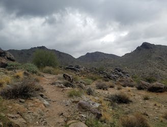
A remote and beautiful hike through the rugged White Tank Mountains.
Difficult Hiking

16 routes · Hiking

6 routes · Hiking
6 routes · Mountain Biking · Hiking · Trail Running