66 m away
Marcos de Niza Trail
A demanding, short hike with incredible views of Ahwatukee.
Difficult Hiking
- Distance
- 2.9 km
- Ascent
- 111 m
- Descent
- 111 m
A short hike originating from the Pima Canyon Trailhead.
Hiking Moderate

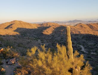
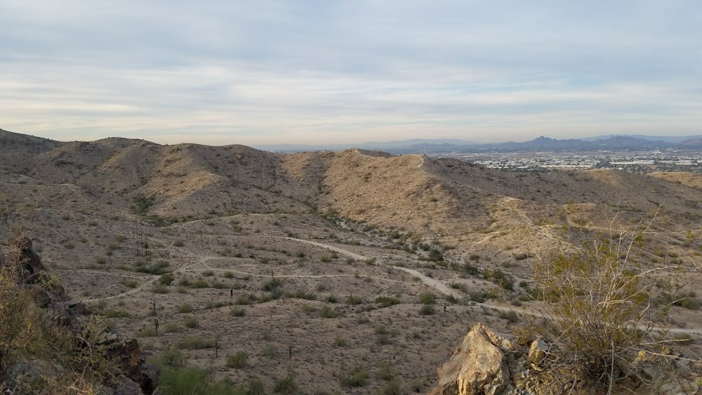
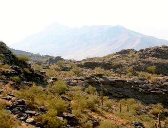
Holding the title as the "Largest Municipal Park in the United States", South Mountain is a hikers paradise. This is a perfect loop for the entire family, or if you're simply short on time. As compared to other trails further up the mountain, most of this route is well groomed and easy to follow.
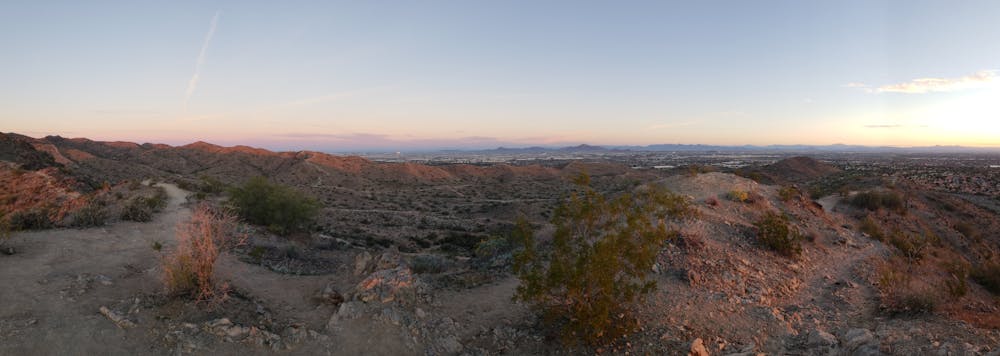
This hike begins at the Ramada at the end of East Pima Canyon Road. Just 10 minutes from the airport and most of Tempe, this may be the most popular trailhead anywhere on South Mountain. At the Pima Trailhead, you can find water and restrooms as well as a picnic area.
This trail run links the East and West Pima Canyon Loops and can be completed in either direction. Follow either of the trails that lead behind the picnic pavilion to begin the loop.
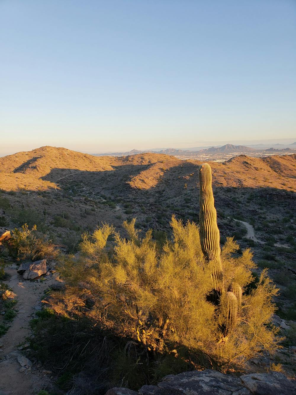
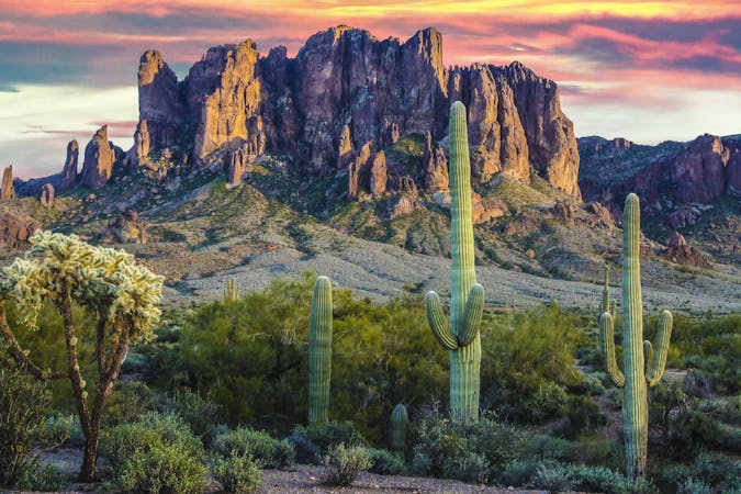
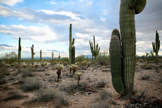
Enjoy the widely diverse ecology as you hike, including several types of cactus and the elephant tree - known for its unique "multiple contorted trunk architecture". Wildlife is also abundant, specifically jackrabbits, rattlesnakes, and the occasional javelina. Chuckwalla, a type of lizard, can also be found in abundance around the mountain.
Sources: https://en.wikipedia.org/wiki/SouthMountainPark#Geographyandecology
Moderate
Hiking along trails with some uneven terrain and small hills. Small rocks and roots may be present.

The trail contains some obstacles such as outcroppings and rock which could cause injury.

Close to help in case of emergency.
66 m away
A demanding, short hike with incredible views of Ahwatukee.
Difficult Hiking
4.6 km away

An easy, scenic hike in the South Mountain trail system.
Moderate Hiking
5.9 km away
Hike through mountaintop saguaro forest to a natural playground of boulders.
Moderate Hiking
16 routes · Hiking
6 routes · Hiking