3.4 km away
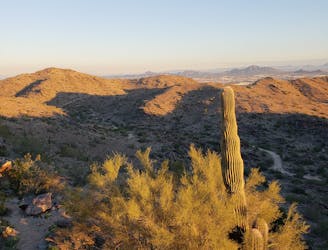
Fat Man's Pass via National Trail
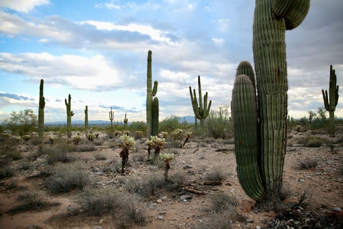
Hike through mountaintop saguaro forest to a natural playground of boulders.
Moderate Hiking
- Distance
- 5.5 km
- Ascent
- 138 m
- Descent
- 138 m
An easy, scenic hike in the South Mountain trail system.
Hiking Moderate

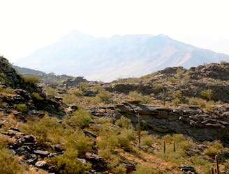
If you’re looking for an easy, flat, hike in the South Mountain Trail System that’s still quite scenic, put the Corona Loop on your todo list!
This lollipop-style hike begins from a modest trailhead on the south side of South Mountain. After hiking up the stem of the lollipop, turn right or left on the Desert Classic trail to begin the loop portion of the hike.
Once on the loop, the scenery truly ratchets up, with gorgeous views of the mountains above and rock formations all around you as you hike. Portions of the loop even drop into narrow gulleys and washes, providing a change of pace from the wide-open desert as you hike through a narrow canyon for a few minutes.
The trail tread itself is mostly smooth and non-technical, with a few rocks to step on or around. No major technical features pose a challenge, and all of the climbs and descents are short. In fact, the trail tread is quite wide for most of the hike, allowing two people to walk abreast. If you choose to walk side-by-side, be extra vigilant of other trail users—this area is extremely popular with mountain bikers in addition to hikers and trail runners.
Be sure to keep an eye on the map as you navigate around the Corona Loop itself. The loop utilizes the Desert Classic Trail, Double Secret Trail, and Secret Trail… and there are quite a few junctions along the way. If you take a wrong turn, you could quickly end up heading the wrong direction, especially on the lengthy Desert Classic trail. Thankfully, it’s tough to get truly lost in this area, as you can see the signs of civilization to the southeast of you and the mountains to the northwest.
Moderate
Hiking along trails with some uneven terrain and small hills. Small rocks and roots may be present.

The path is on completely flat land and potential injury is limited to falling over.
Close to help in case of emergency.
3.4 km away
Hike through mountaintop saguaro forest to a natural playground of boulders.
Moderate Hiking
4.6 km away
A demanding, short hike with incredible views of Ahwatukee.
Difficult Hiking
4.6 km away
A short hike originating from the Pima Canyon Trailhead.
Moderate Hiking
16 routes · Hiking
6 routes · Hiking