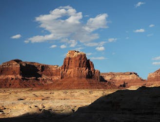
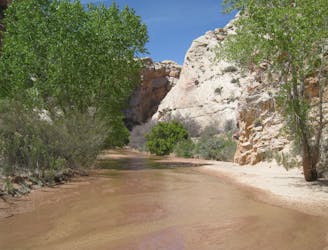
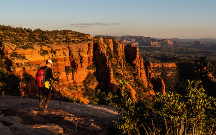
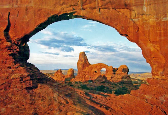
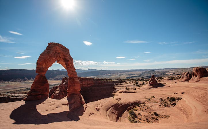
Hayduke Trail: Arches National Park to Hurrah Pass
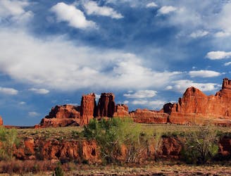
A warm up in distance and difficulty for the 800-mile backcountry journey along the Hayduke Trail.
Difficult Hiking
- Distance
- 69 km
- Ascent
- 1.4 km
- Descent
- 1.4 km
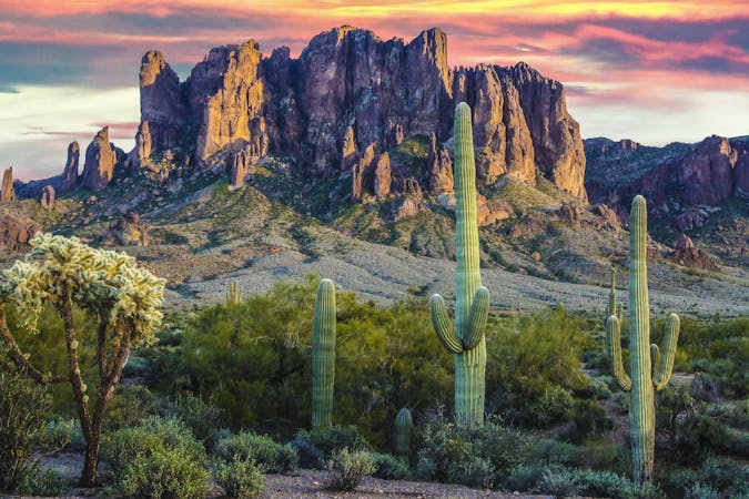
An odyssey of 800 miles through the astonishing landscapes of the American Southwest.
Hiking Difficult, Severe
Also in Utah, United States of America
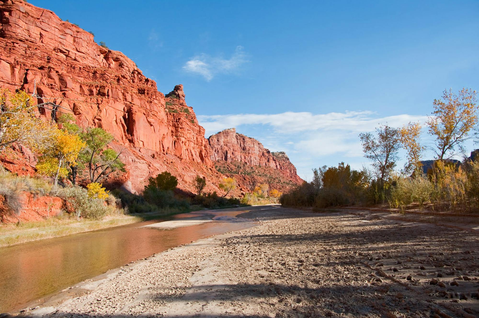
The Hayduke Trail is an 800-mile odyssey through the canyons and mountains of the Desert Southwest. It tours parts of all five national parks in Utah, plus the Grand Canyon in Arizona, and navigates equally spectacular landscapes in between. It may be more appropriately called the “Hayduke Route” because it’s not one cohesive trail, but a linkage of dirt roads, footpaths, watercourses, and trackless cross-country. It visits some classic national park viewpoints but travels mostly in seldom-seen backcountry far from any pavement.
The hard-earned rewards of the Hayduke are solitude and intimate exploration among some of the most outstanding natural scenery on Earth. Natural arches, stone spires, colorful cliffs, slot canyons, snowy peaks, desert rivers, and highland forests are just some of the discoveries that await around each turn and over each hill.
As a thru-hike, the Hayduke is undoubtedly one of the most difficult and committing long-distance routes in the United States. It is physically demanding and logistically overwhelming, including long stretches without water, remote access points, many vertical obstacles, and potentially extreme conditions. Hikers must deal with many types of terrain, including soft sand, loose rock, deep mud, ice and snow, and flowing rivers.
To manage the complex logistics of resupplying and finding water, most “Haydukers” utilize a combination of pre-placed caches, hitchhiking, and other creative strategies. Variations of the trail may also be devised, sometimes on the fly, either for personal preference or practical purpose. High water in a canyon, an unexpectedly dry water source, or deep snow at a mountain pass are just a few examples of variables that may warrant an alternate route.
The season for thru-hiking is typically the spring, when water in the desert is easiest to find and temperatures are generally mild. Fall brings good temperatures and more stable weather, but water is scarcer. Winter and summer are out of the question for thru-hikes because of extreme temperatures and weather, but seasonality can vary by section.
Along with the daunting distance and diversity of terrain that it covers, what’s amazing about the Hayduke is that it travels almost entirely on public lands—owned by the government but managed for use by the people. On most of these lands, camping is allowed at-large with no permits needed. However, within the bounds of national parks and monuments—of which there are several along the Hayduke—permits, and in many cases advance reservation, are required. There is no single permit for the thru-hike, so you much arrange separately with each park you’ll pass through.
This guide maps the official sections of the Hayduke and gives an overview of each. Descriptions are westbound, beginning in Arches National Park and finishing in Zion. This is the more popular direction, though it can be hiked the other way as well. Use this guide as a starting point for preparation and a navigation aid while on the trail, but expect to use a variety of other sources for planning and completing this truly epic desert conquest.
A warm up in distance and difficulty for the 800-mile backcountry journey along the Hayduke Trail.
Difficult Hiking
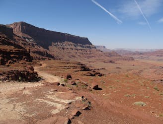
Depart the ease of dirt roads for untracked canyons and dry washes deep in Canyonlands National Park.
Severe Hiking
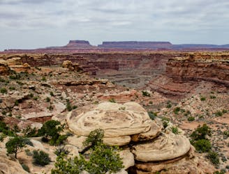
Wonderfully varied route from the trails of Canyonlands National Park to the crossing of the Colorado River, through deep canyons and over high plateaus.
Severe Hiking
Cross-country journey over arid badlands followed by a muddy slog through the Dirty Devil River.
Severe Hiking
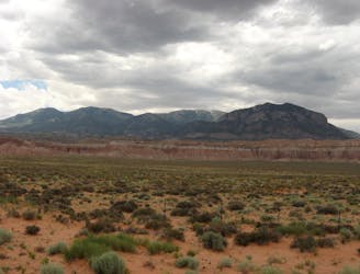
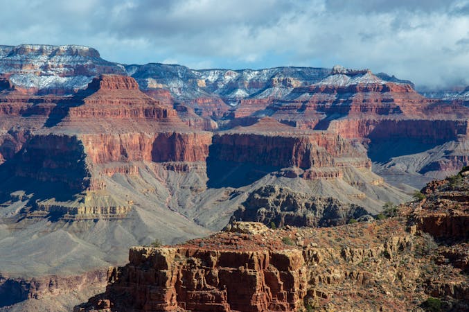
Cross the often-snowy Henry Mountains and the trail's highpoint, then descend back into canyon country toward Capitol Reef National Park.
Severe Hiking
Link-up of canyons in Capitol Reef and Grand Staircase-Escalante, through some of the most spectacularly-sculpted stone anywhere along the Hayduke.
Severe Hiking
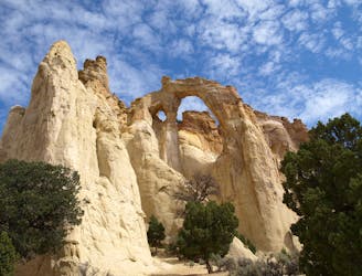
In and out of many canyons in the complex terrain of Grand Staircase-Escalante National Monument.
Severe Hiking
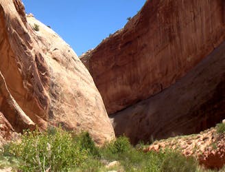
Journey through colorful canyons of all shapes and sizes, from the tight narrows of Round Valley Draw to the wide gorge of the Paria River.
Severe Hiking
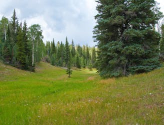
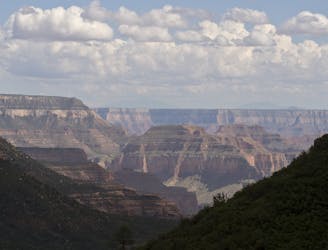
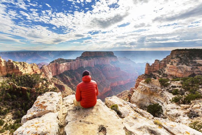
Wander through montane forest and meadows of the Kaibab Plateau to reach the rim of the Grand Canyon.
Difficult Hiking
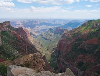
A bold descent among cliffs of the Grand Canyon, followed by a long traverse along the Colorado River in the bottom.
Severe Hiking
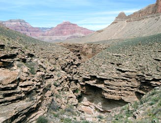
Wander many miles through the Grand Canyon's middle tier, then ascend a long side canyon on one of the park's most spectacular trails.
Difficult Hiking
Journey back to the bottom of the Grand Canyon and out again, bushwhacking and canyoneering much of the way.
Severe Hiking
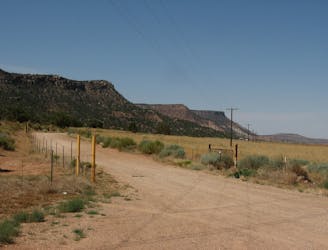
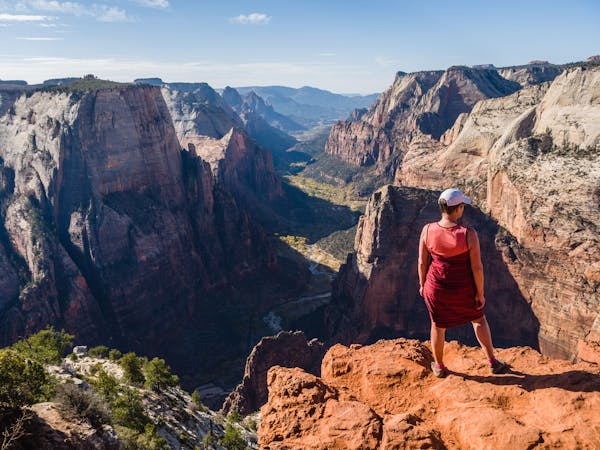
Cross the range land of the Arizona Strip to return to canyon country in Zion National Park, and the western terminus of the Hayduke Trail.
Severe Hiking
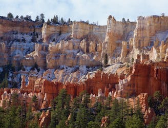
Ascend the Pink Cliffs of Bryce Canyon, then work down through canyons of many colors toward Arizona.
Severe Hiking

23 routes · Mountain Biking · Hiking
11 routes · Hiking
14 routes · Hiking
14 routes · Hiking
14 routes · Hiking
8 routes · Hiking

10 routes · Hiking
16 routes · Hiking
6 routes · Hiking
14 routes · Hiking