8.8 km away
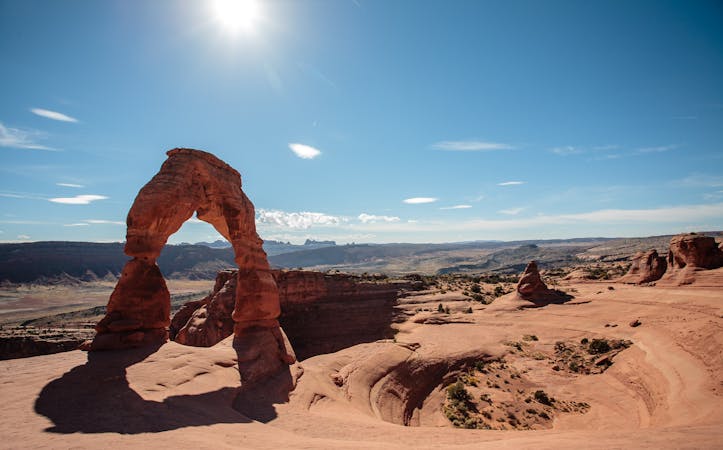
Portal Trail
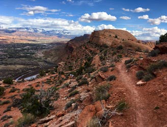
Experience death-defying heights and jaw-dropping views from the exposed Portal Trail.
Severe Hiking
- Distance
- 7.2 km
- Ascent
- 370 m
- Descent
- 370 m
Depart the ease of dirt roads for untracked canyons and dry washes deep in Canyonlands National Park.
Hiking Severe

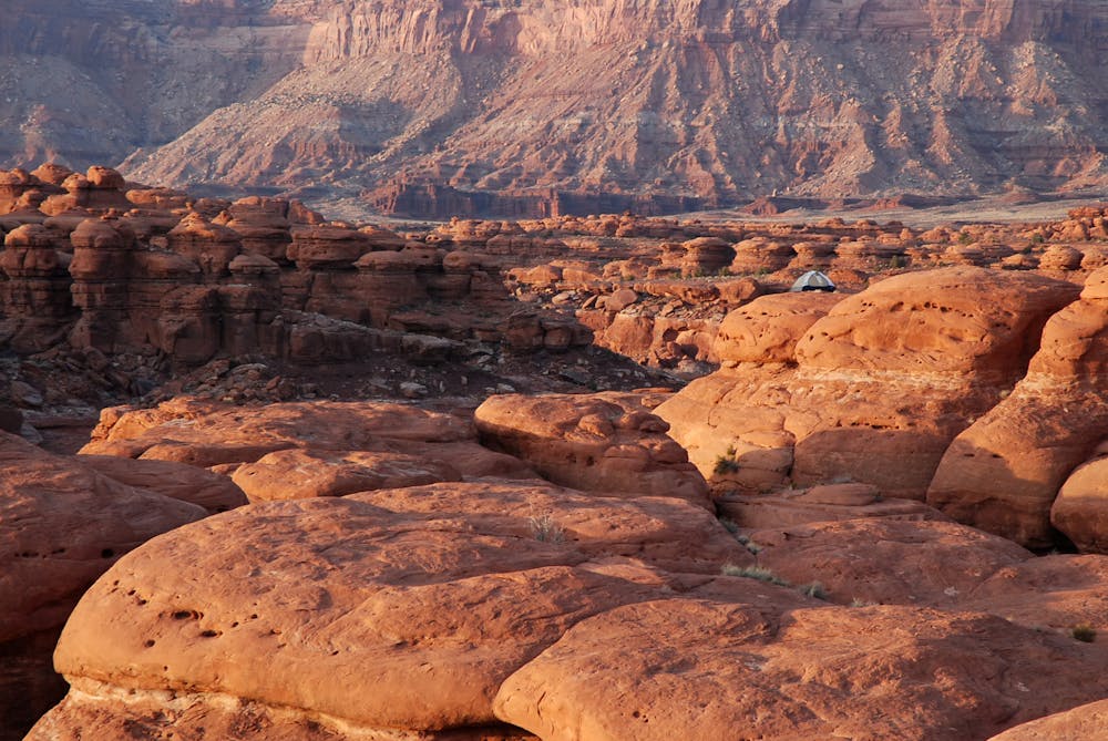
Section 2 is a true test for route-finding and water-finding skills. Here, the Hayduke Trail injects itself into the heart of Canyonlands National Park. It follows dirt roads only briefly on this section; it mostly wanders through remote canyons and over trackless desert. To get through, you’ll need to negotiate tricky scrambles up and down dryfalls and cliff bands, and pay careful attention to avoid getting stuck in dangerous spots. In an especially wet season, you’ll find water flowing in washes or relatively fresh in pools, but otherwise, you’ll rely on secluded springs that can run dry, or on gross stock tanks. Luckily there are options for short detours to the Colorado River in a few places if necessary.
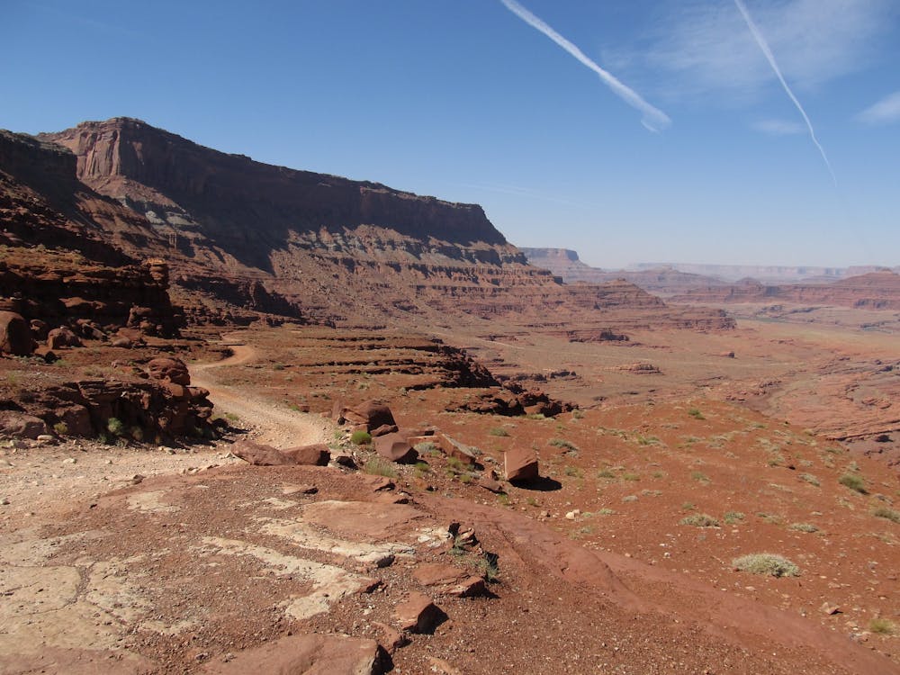
From Hurrah Pass, with the Colorado River again in sight on the other side, the road descends to meet Lockhart Basin Road. This dirt road twists along the broad bench beneath the cliffs of Hatch Point, with the river now out of sight somewhere below. Leave the road at a branch of Lockhart Canyon, where springs can be found but might be dry. Traversing benches of the deepening canyon eventually leads to a steep trail into another side canyon, then into the bottom of Lockhart Canyon proper. Turn up canyon to come to the open valley floor of Lockhart Basin and rejoin the road.
Follow the road only a little while before entering Rustler Canyon, a dry wash with mostly easy hiking but one tricky downclimb through a narrow dryfall. Soon after comes Indian Creek, which usually has flowing water. A steep escape route leads out of Indian Creek and up a bouldery ridge, topping out on much easier terrain with quite a panorama. Continue cross country along the ridge crest, with views over the hidden Colorado River to Island in the Sky on one side, and over Indian Creek to Needles Overlook on the other.
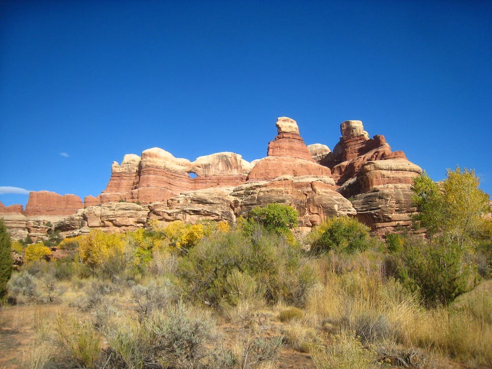
A ledgy scramble down into the next wash will lead to water if you’re lucky. Continue up and out another branch of this wash to a flat area and a dirt road intersection. The road south leads to Salt Creek, which may or may not have water. This is your opportunity to visit Needles Outpost if you need to resupply. If not, leave the road at Salt Creek and head for Little Spring Canyon, the most reliable water source in the area. Just past Little Spring is the paved road to Big Spring Trailhead, and the end of this section.
Sources: http://www.hayduketrail.org/TheRoute.html http://www.acrossutah.com/wordpress/hayduke-moab-to-lockhart-basin/ http://www.acrossutah.com/wordpress/rustler-canyon-and-indian-creek/ http://www.acrossutah.com/wordpress/hayduke-above-indian-creek/ https://caltopo.com/m/5J0S
Severe
Hiking challenging trails where simple scrambling, with the occasional use of the hands, is a distinct possibility. The trails are often filled with all manner of obstacles both small and large, and the hills are very steep. Obstacles and challenges are often unexpected and can be unpredictable.

Some trail sections have exposed ledges or steep ascents/descents where falling could cause serious injury.
Little chance of being seen or helped in case of an accident.
8.8 km away
Experience death-defying heights and jaw-dropping views from the exposed Portal Trail.
Severe Hiking
14 routes · Hiking

14 routes · Hiking