2.5 km away
Grandview Trail
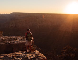
A spectacular route for experienced desert hikers.
Severe Hiking
- Distance
- 9.5 km
- Ascent
- 811 m
- Descent
- 811 m
Wander many miles through the Grand Canyon's middle tier, then ascend a long side canyon on one of the park's most spectacular trails.
Hiking Difficult

A steep descent on Cottonwood Creek Trail leads down from Horseshoe Mesa to the Tonto Trail. Relish the shade of Cottonwood Creek while you can because it is short lived. The Tonto Trail is infamously arduous and hot, not because of particularly difficult hiking but just because it is so exposed. It undulates along the Tonto Platform, a profoundly wide bench at mid-level in the canyon, with massive vertical walls above and below. The trail stays at a fairly constant elevation, taking many wide sweeps to contour in and out of side canyons.
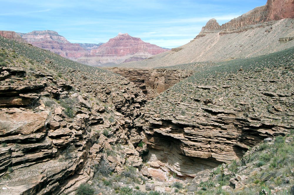
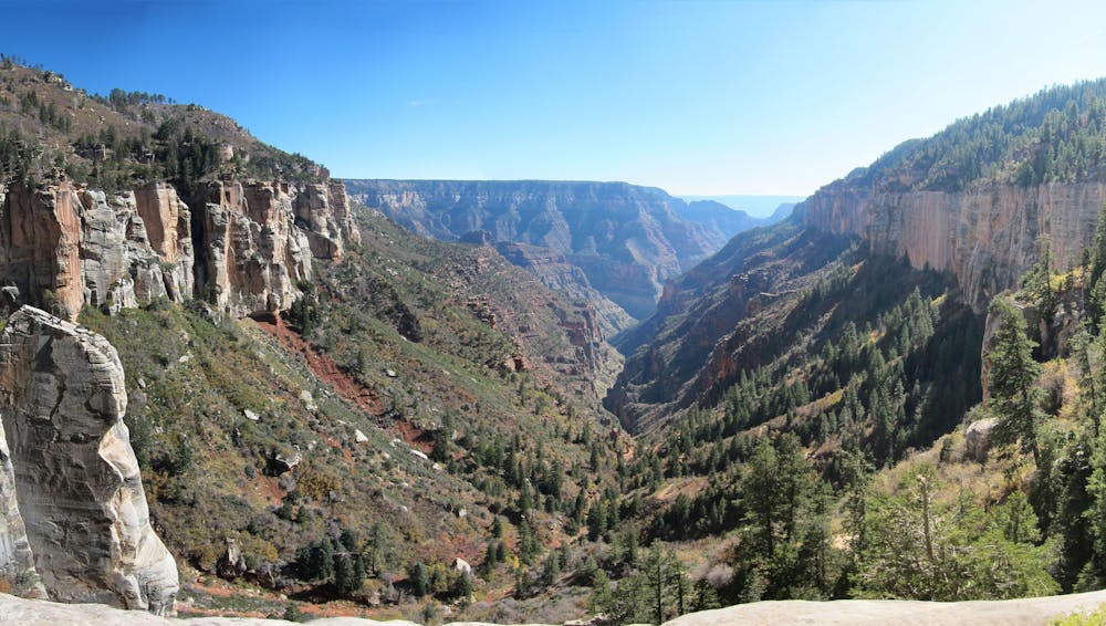
A few of these drainages run with water reliably in the spring, but they all can run dry in summer. No water is guaranteed until Bright Angel Creek. Getting there will likely take longer than you think due to the wandering nature of Tonto Trail. It can be tricky to follow in places, though the route-finding is nothing compared to other parts of the Hayduke.
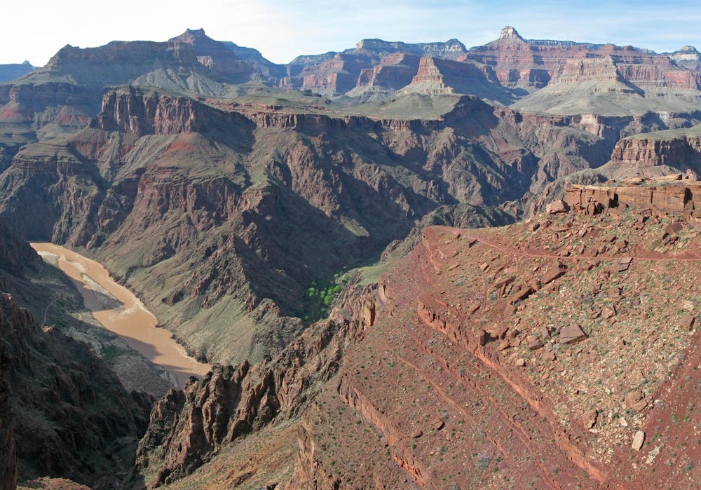
After reaching South Kaibab Trail, you’ll likely see far more hikers than any spot along the Hayduke thus far. This is a main corridor trail through the Grand Canyon. A spectacular series of switchbacks leads down into the Inner Granite Gorge to reach the river and a bridge across it. On the other side is a large and popular campground with running water and bathrooms at Bright Angel Creek, and just past that is Phantom Ranch where you can buy snacks and send a postcard.
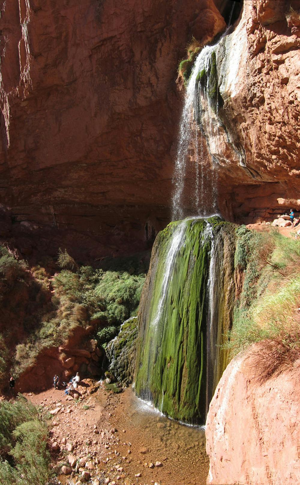
Next comes North Kaibab Trail, a true jewel of a hike through all the canyon’s major rock layers in the arm of Bright Angel Creek, moving gradually upward for several miles through the lower tiers then steeply and spectacularly as it cuts through Redwall Limestone cliffs then yellow Coconino Sandstone. Ribbon Creek is worth the quick side trip from the trail’s lower reach. It’s a spout of clear water pouring over a moss-streaked dome of travertine and is an understandably sacred spot to indigenous cultures.
At the top of North Kaibab, you’ll be back among aspen and fir on the Grand Canyon’s North Rim, with the heat and dust of the low elevations behind you, for now. Between May 15 and October 15 when North Rim facilities are open, you can stop by the gas station or campground store to resupply.
Sources: http://www.hayduketrail.org/TheRoute.html http://www.hayduketrail.org/Updates.html https://www.nps.gov/grca/planyourvisit/upload/Tonto-GrandviewtoSouthKaibab.pdf
Difficult
Hiking trails where obstacles such as rocks or roots are prevalent. Some obstacles can require care to step over or around. At times, the trail can be worn and eroded. The grade of the trail is generally quite steep, and can often lead to strenuous hiking.

Some trail sections have exposed ledges or steep ascents/descents where falling could cause serious injury.
Little chance of being seen or helped in case of an accident.
2.5 km away
A spectacular route for experienced desert hikers.
Severe Hiking
14 routes · Hiking

14 routes · Hiking